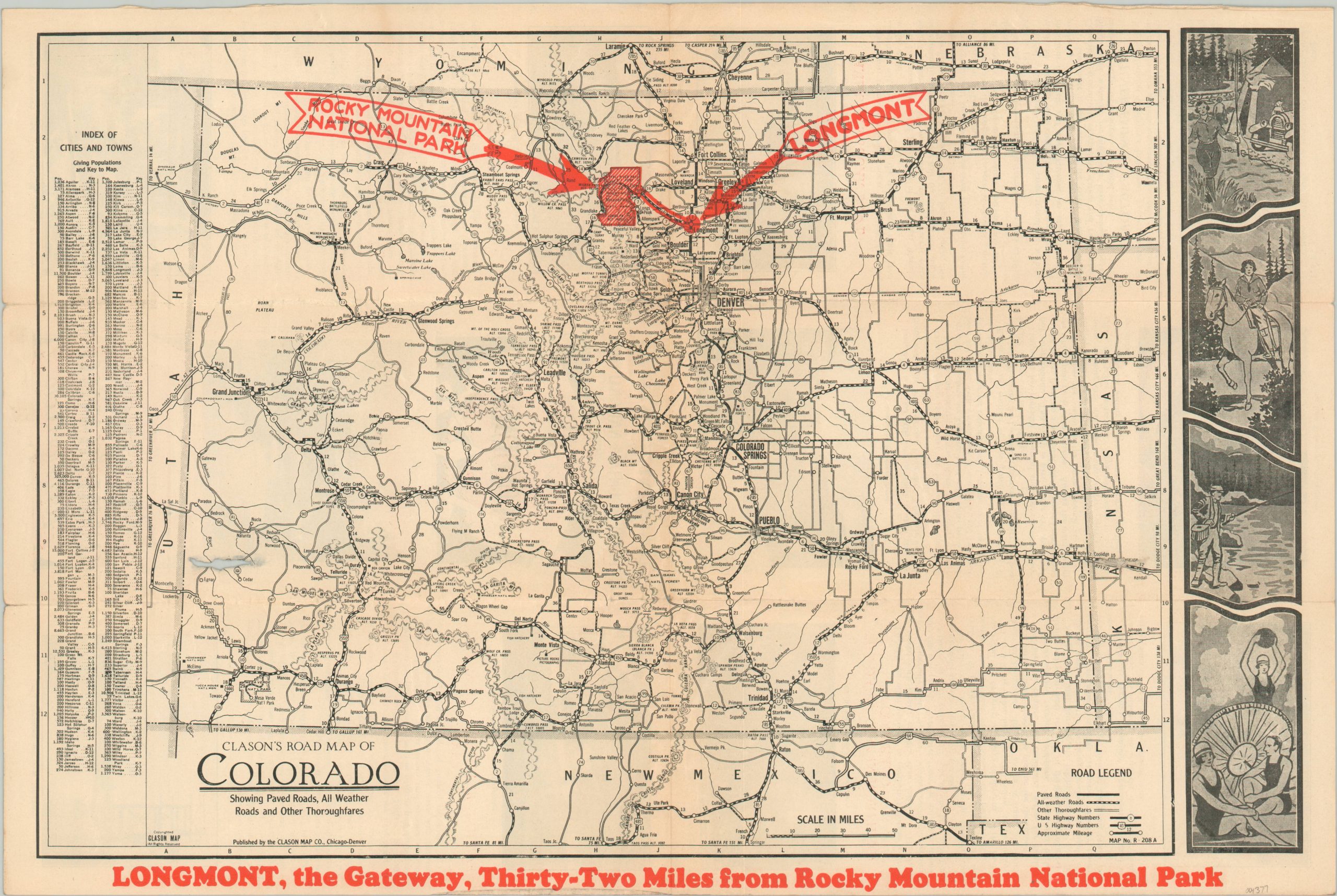
Clason’s Road Map of Colorado
$59.00
Road map of Colorado issued by the Longmont Chamber of Commerce.
1 in stock
Description
This detailed road map of Colorado was created by the Clason Map Company in Denver in 1928 and distributed by the Longmont Chamber of Commerce. Roads are identified according to their quality and numbered, where applicable, according to the legend in the lower right corner. The left side presents an index of cities and towns, while the right side shows several interesting art deco scenes.
Red overprinting identifies Longmont – ‘The Gateway’ – and its proximity to Rocky Mountain National Park, established in 1915. The verso presents an interesting compilation of text and photographs that highlights many of the local and regional attractions like the Boulder County Fair, the bathing beach at Sunset Park, and the dairy industry in Northern Colorado.
Map Details
Publication Date: 1928
Author: Longmont Chamber of Commerce
Sheet Width (in): 17.5
Sheet Height (in): 11.6
Condition: B
Condition Description: Moderate wear along originally issued fold lines, including tiny spots of separation, light toning, and some wrinkling. A small hole in the center left, near the Utah border.
$59.00
1 in stock

