
Clason’s Guide Map of the State of Idaho
$135.00
WWI-era road guide to Idaho.
1 in stock
Description
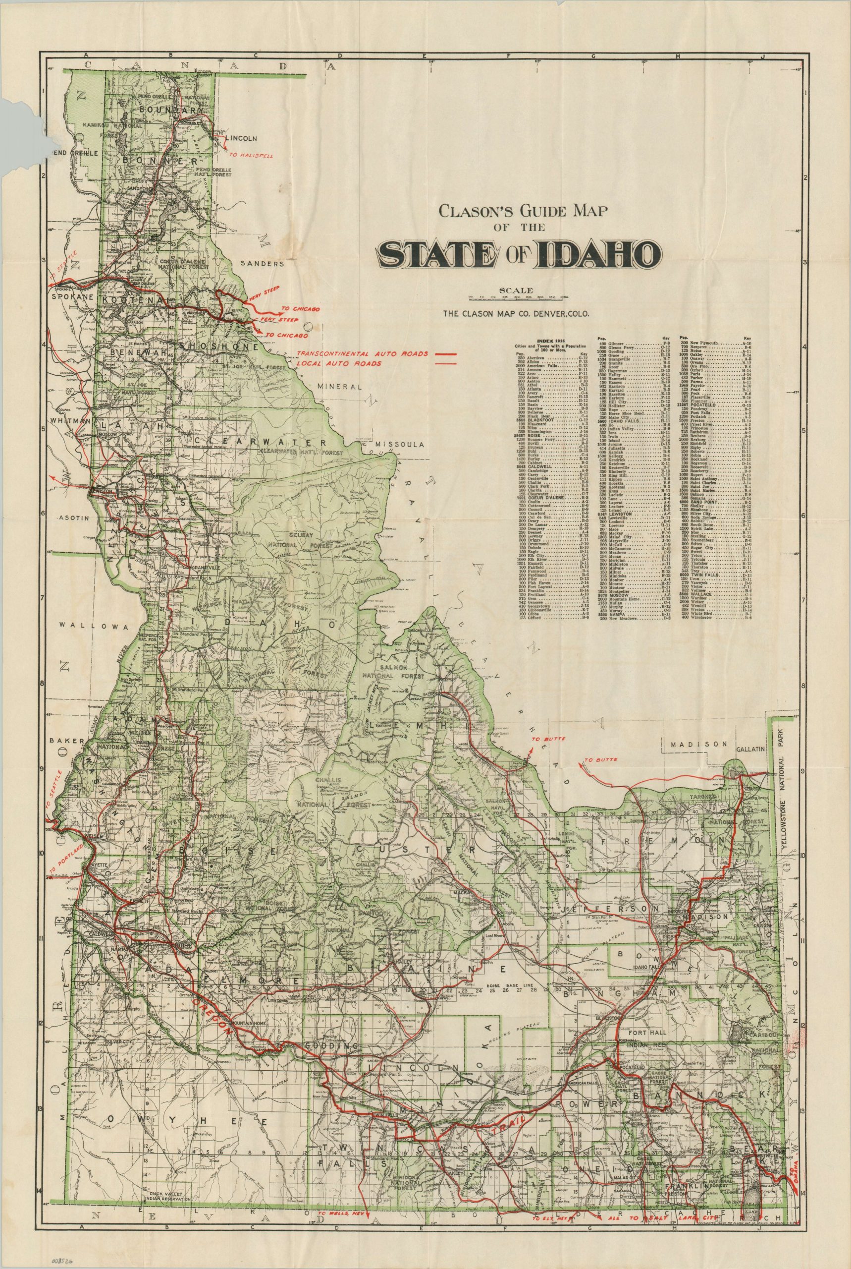
This finely detailed map of Idaho was copyrighted in 1916 by the Clason Map Company of Denver, Colorado. During the early 20th century, Clason specialized in high-quality guides for the burgeoning Western automobile tourist, capturing the region just as the “Auto Trail” movement began to standardize travel across the Continental Divide. The base map provides a sophisticated structural framework of the “Gem State,” delineating county and township boundaries, intricate waterways, and a diverse array of settlements.
Vibrant green overprinting identifies the expansive National Forest reserves that dominate the Idaho Panhandle and central mountains. Of particular interest is the vibrant red overprinting used to designate the state’s nascent road network. Bold lines identify major Transcontinental Routes, including the recently organized Yellowstone Trail (1912) and the “rebranded” Oregon Trail, while thinner lines represent more localized wagon roads and trails.
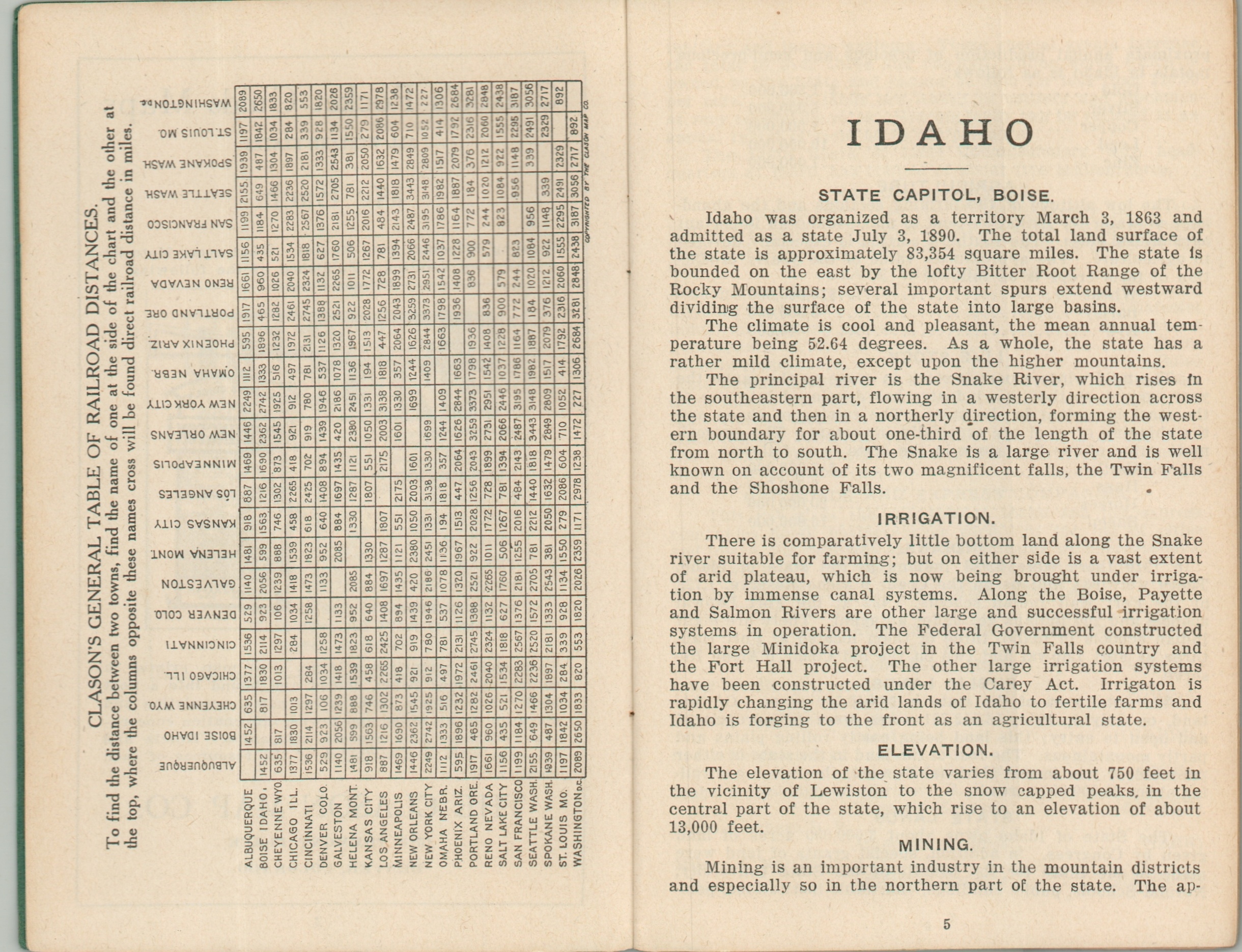
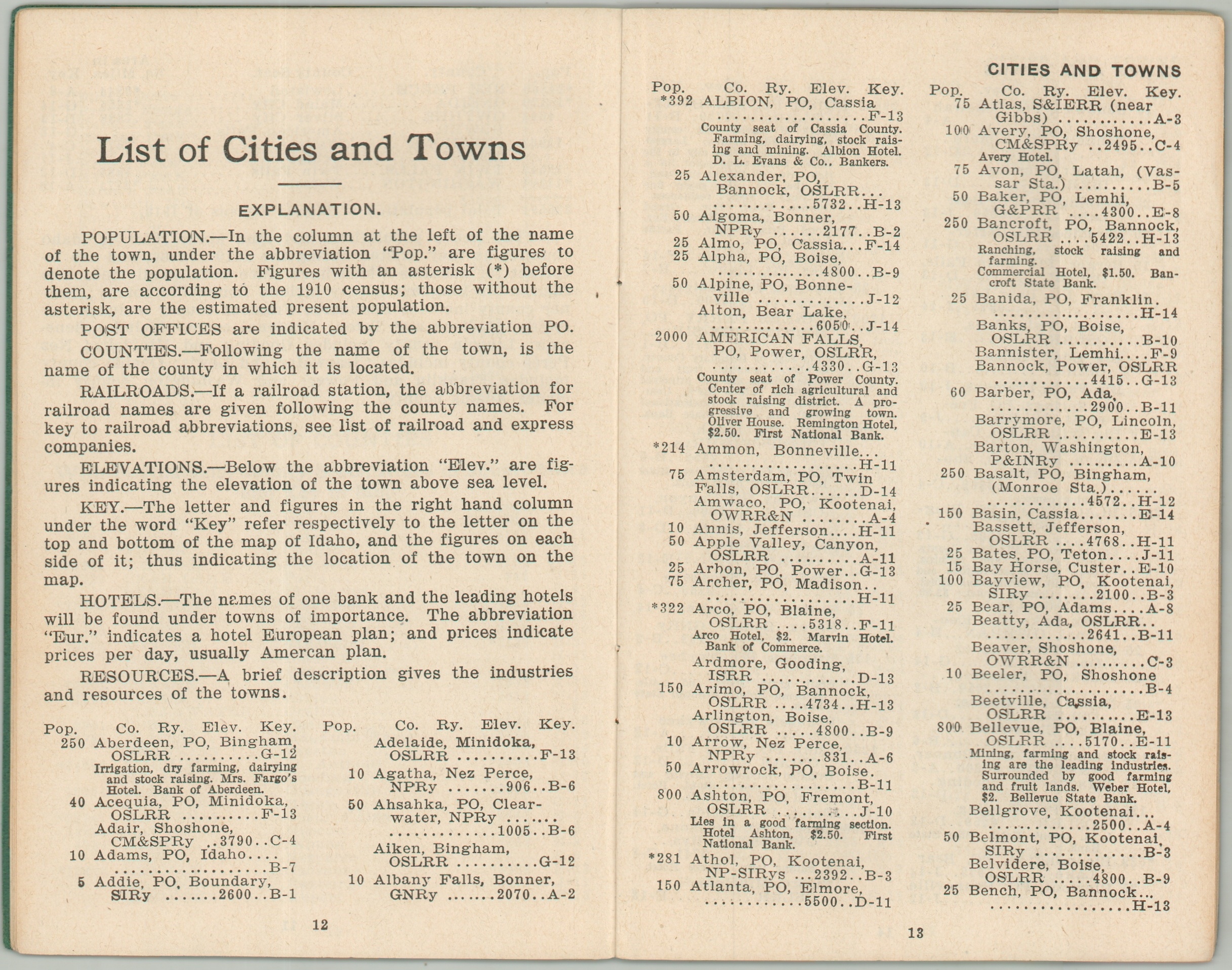
This example is accompanied by its original 32-page descriptive index, a comprehensive geographic census offering mileage tables, topographical data, and population statistics for even the smallest mining and timber communities. The map stands as a premier document of the “Good Roads” era, published a decade before the federal government replaced these named trails with the standardized U.S. Highway System in 1926
Map Details
Publication Date: 1916
Author: Clason Map Company
Sheet Width (in): 18.75
Sheet Height (in): 27.00
Condition: B
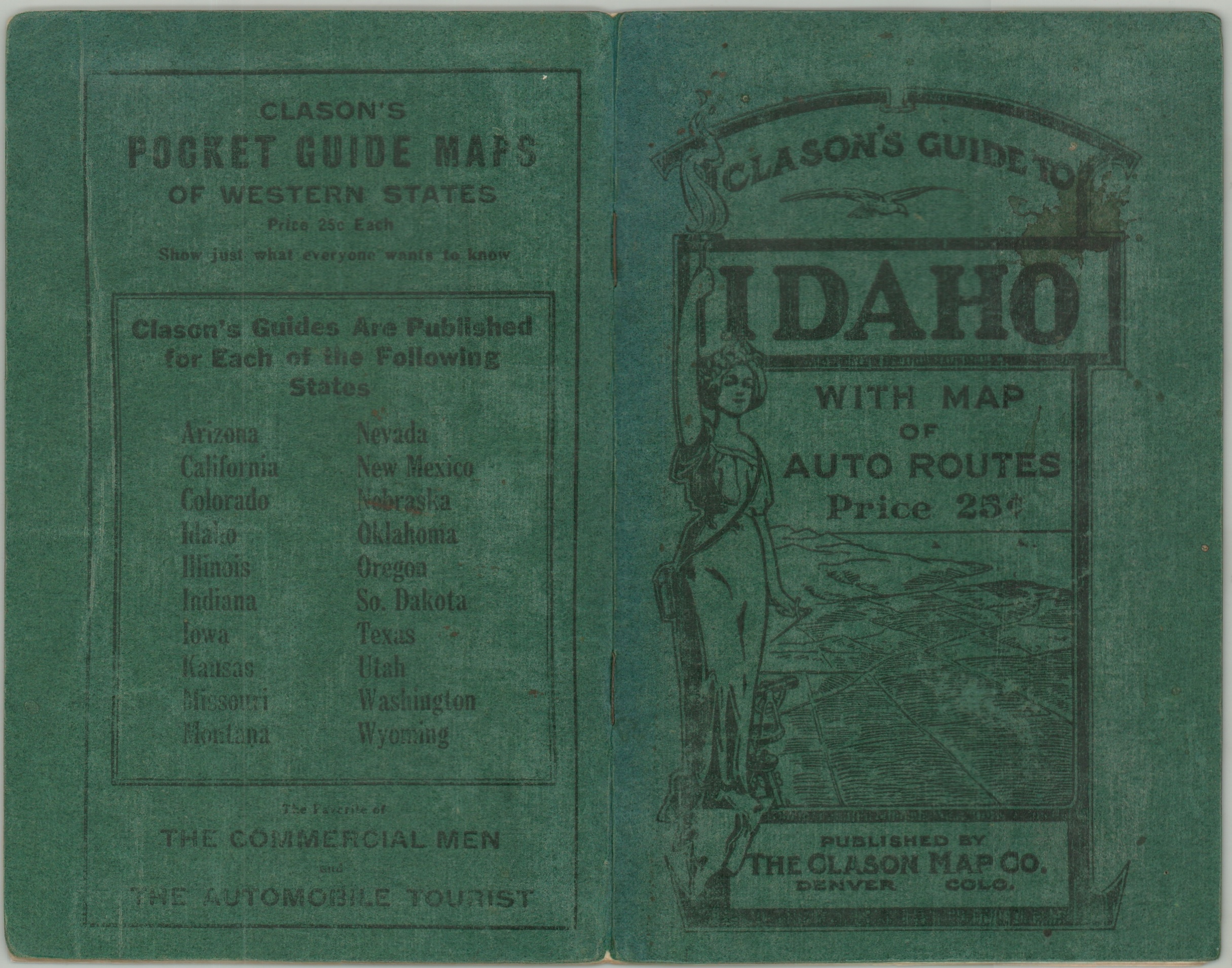
Condition Description: Large color printed map extracted from accompanying guidebook. Creased and moderately worn along folds, with a few small splits repaired on the verso. Large chip in the upper left were roughly extracted. Includes the guidebook, 32 pp. with stapled binding and original green wraps.
$135.00
1 in stock