
Claim Map of Calico Mining District Showing Claims That Have Been Consolidated
$175.00
The end of the mining era in Calico, California
1 in stock
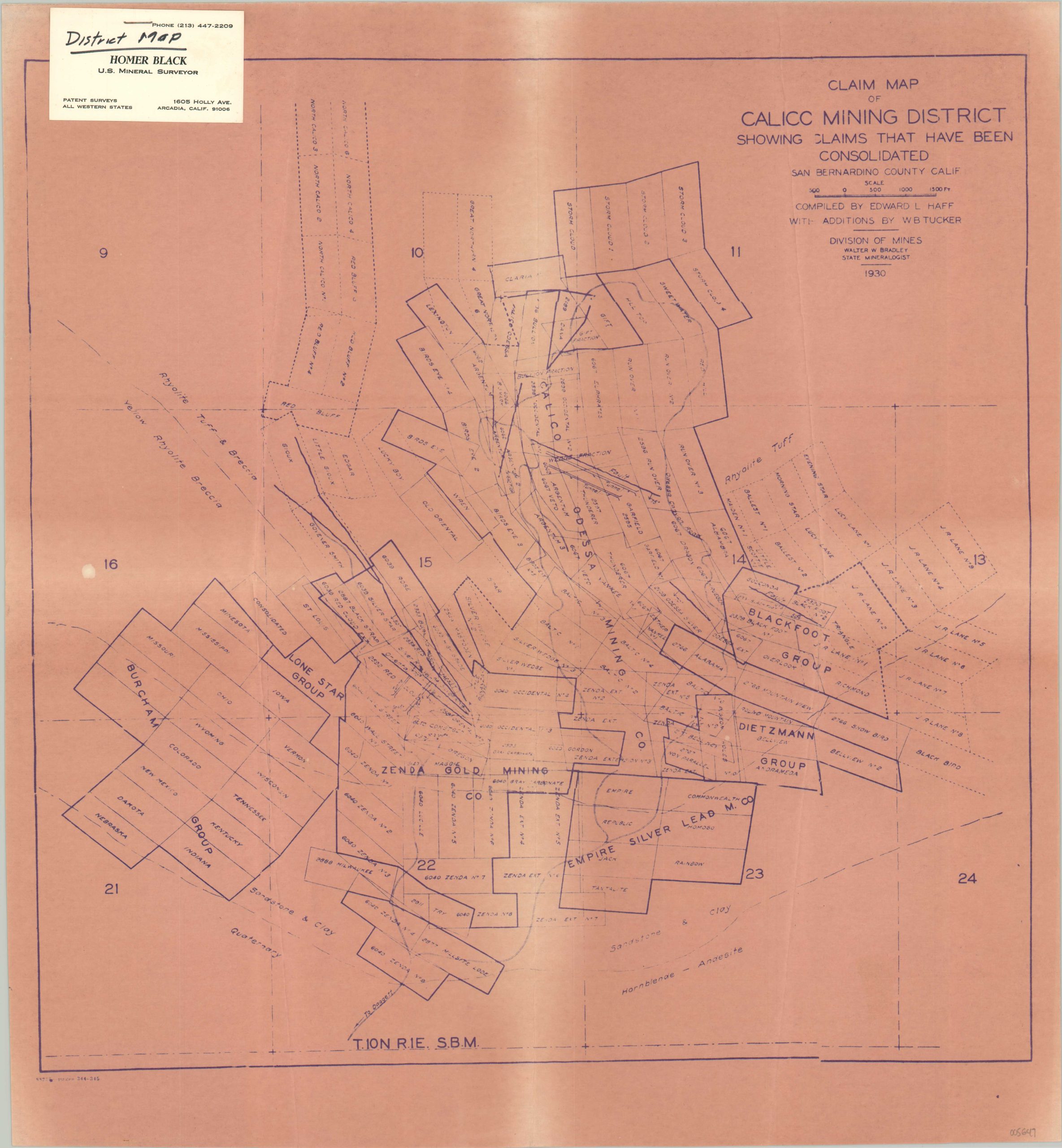
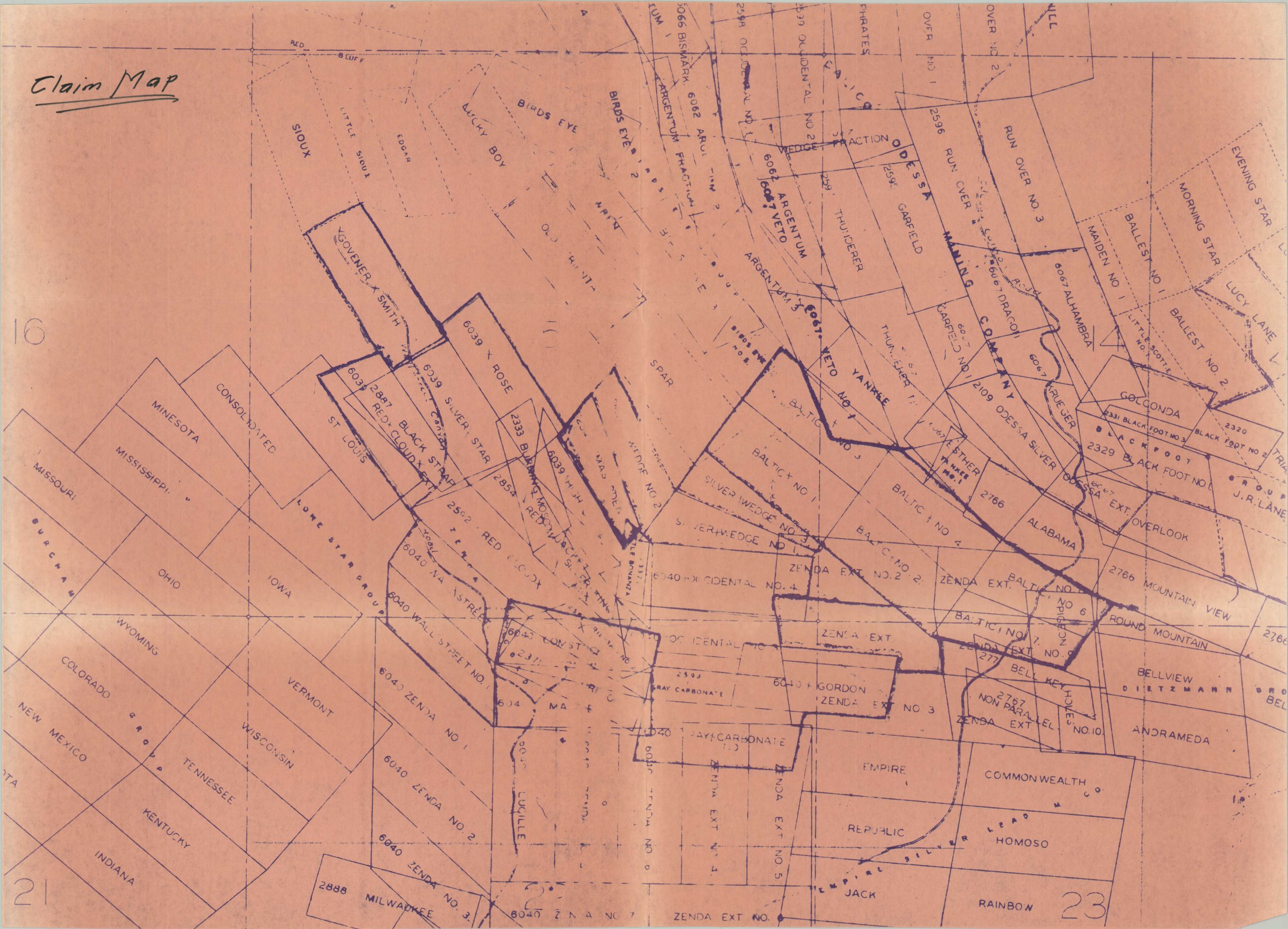
Description
Calico, California, a historic ghost town situated in the Mojave Desert, witnessed a fascinating resurgence in the 20th century. Originally founded in 1881 during the California Silver Rush, Calico flourished as a thriving mining town, hosting a population of approximately 1,200 residents and a variety of businesses. However, the early 1900s brought a decline in the town’s prosperity as the silver mines began to deplete. Calico gradually transformed into a ghost town as its residents sought opportunities elsewhere.
Economic activity was primarily non-existent until Walter Knott, of Knott’s Berry Farm, purchased the town in the hopes of restoring its former glory. He meticulously brought Calico back to life, transforming it into a tourist attraction that preserved its Wild West history and remains a popular destination today.
This pair of claim maps of the Calico Mining District appears to have been originally created by Edward L. Haff of the California State Department of Mines in 1930. They were likely issued somewhat later by Homer Black, a U.S. Mineral Surveyor based in Arcadia, whose business card is stapled to the first sheet.
Map Details
Publication Date: c. 1930s?
Author: Edward L. Haff
Sheet Width (in): See Description
Sheet Height (in): See Description
Condition: A
Condition Description: A pair of maps that appear to be early photostatic reproductions. Each shows light toning and wear along old fold lines. Old business card stapled to one sheet, and Claim Map written on the second in black ink. Very good condition overall.
$175.00
1 in stock