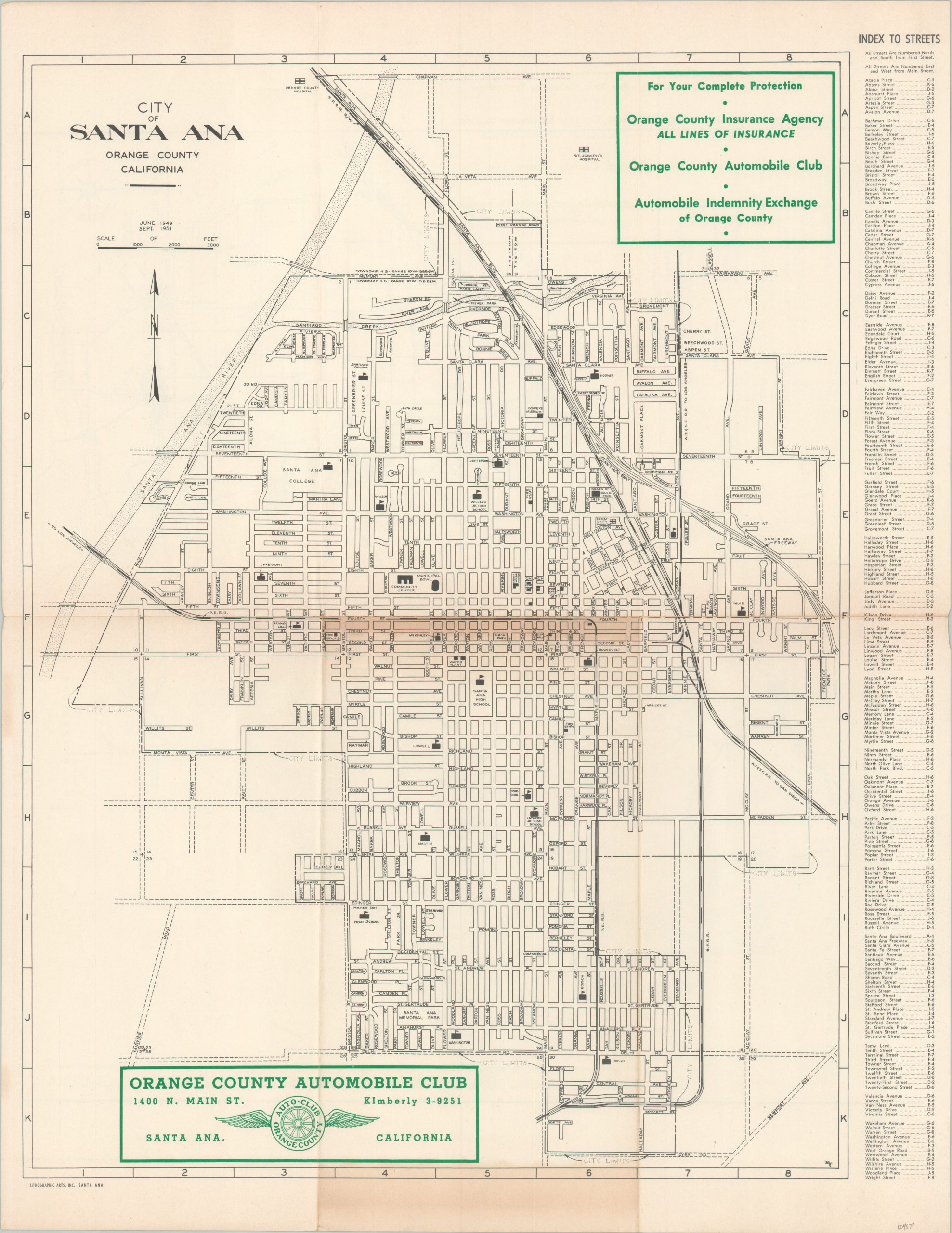
City of Santa Ana Orange County California
$80.00
Mid-century street plan of a historic city in Orange County, California.
1 in stock
Description
This legible map of Santa Ana, California shows the city in the midst of a prosperity boom in the years following World War II. Local agricultural and manufacturing industries made the area a center for Orange County’s economic growth in the postwar years. The image shows a simple overview; labeling streets, schools, railroads, and important buildings. A comprehensive street index can be seen in the right margin.
Published locally in September of 1951 by Lithographic Arts, Inc., with distribution sponsored by the Orange County Automobile Club. A road map of Orange County, with corresponding population estimates for 1952 and 1953 (predicting growth) can be found on the verso.
Source: Orange County History
Map Details
Publication Date: 1951
Author: Lithographic Arts, Inc.
Sheet Width (in): 17
Sheet Height (in): 22
Condition: B
Condition Description: Creased along old fold lines and a strip of moderate discoloration visible in the center of the sheet. Some lighter toning also visible in the lower margin. About good condition.
$80.00
1 in stock

