
City of Niagara Falls, N.Y.
$75.00
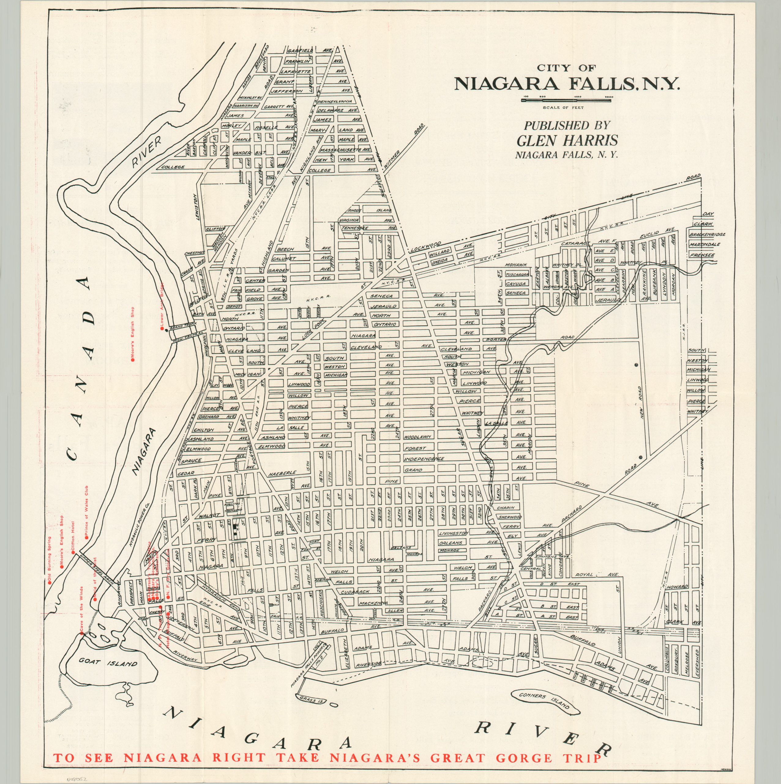
A locally-produced map of Niagara Falls from the 1920s.
1 in stock
Description
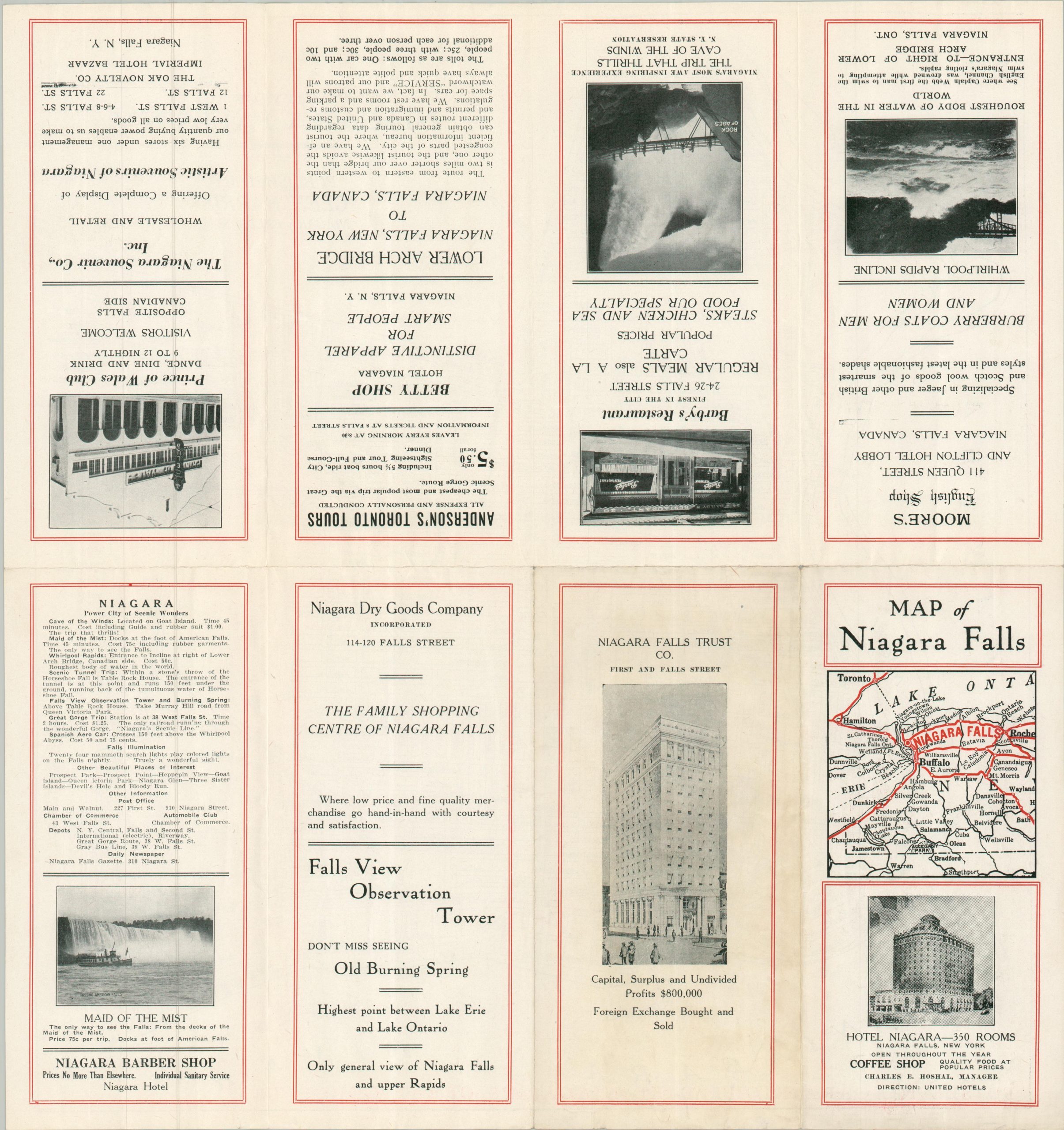
This antique street plan of Niagara Falls, New York, was issued while the city was developing a nationwide reputation for falls tourism, hydroelectric power, and Prohibition-era rum running. Red overprinting identifies several local businesses and attractions, including several on the Canadian side. Advertisements for these firms can be found on the verso, along with several facts about the ‘Power City of Scenic Wonders’ and a small map of regional automobile routes.
The map is signed Moreau in the lower right and was published by Glen Harris. Issued likely around 1926, after the completion of Hotel Niagara and the Michigan Central Railway bridge (1925), but prior to the renaming of several city streets in the late 1920s.
Map Details
Publication Date: c. 1926
Author: Moreau
Sheet Width (in): 16.90
Sheet Height (in): 17.90
Condition: B+
Condition Description: Double-sided map brochure with light wear along the outer edges of the sheet and a few small splits along the folds. Good condition overall.
$75.00
1 in stock