
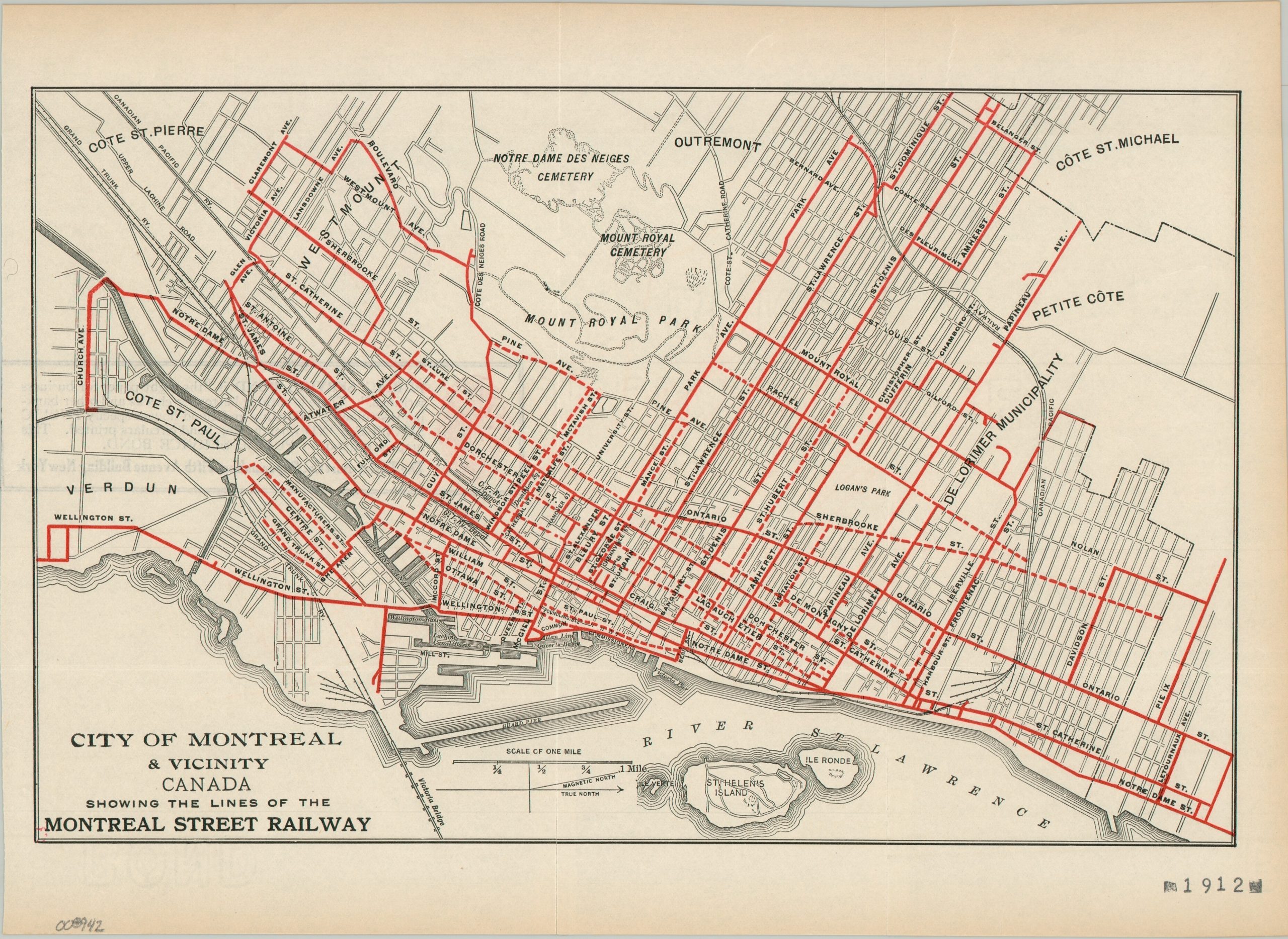
City of Montreal & Vicinity Canada Showing the Lines of the Montreal Street Railway
$125.00
Montreal Street Railway Company shortly before consolidation.
1 in stock
Description
This early 20th-century map, oriented with west at the top, highlights the operational lines of the Montreal Street Railway. The coverage is extensive, with a heavy concentration downtown that thins out as it reaches outer suburbs like Cote St. Michael, Cote St. Pierre, and Verdun. Dotted lines are presumably proposed or jointly operated.
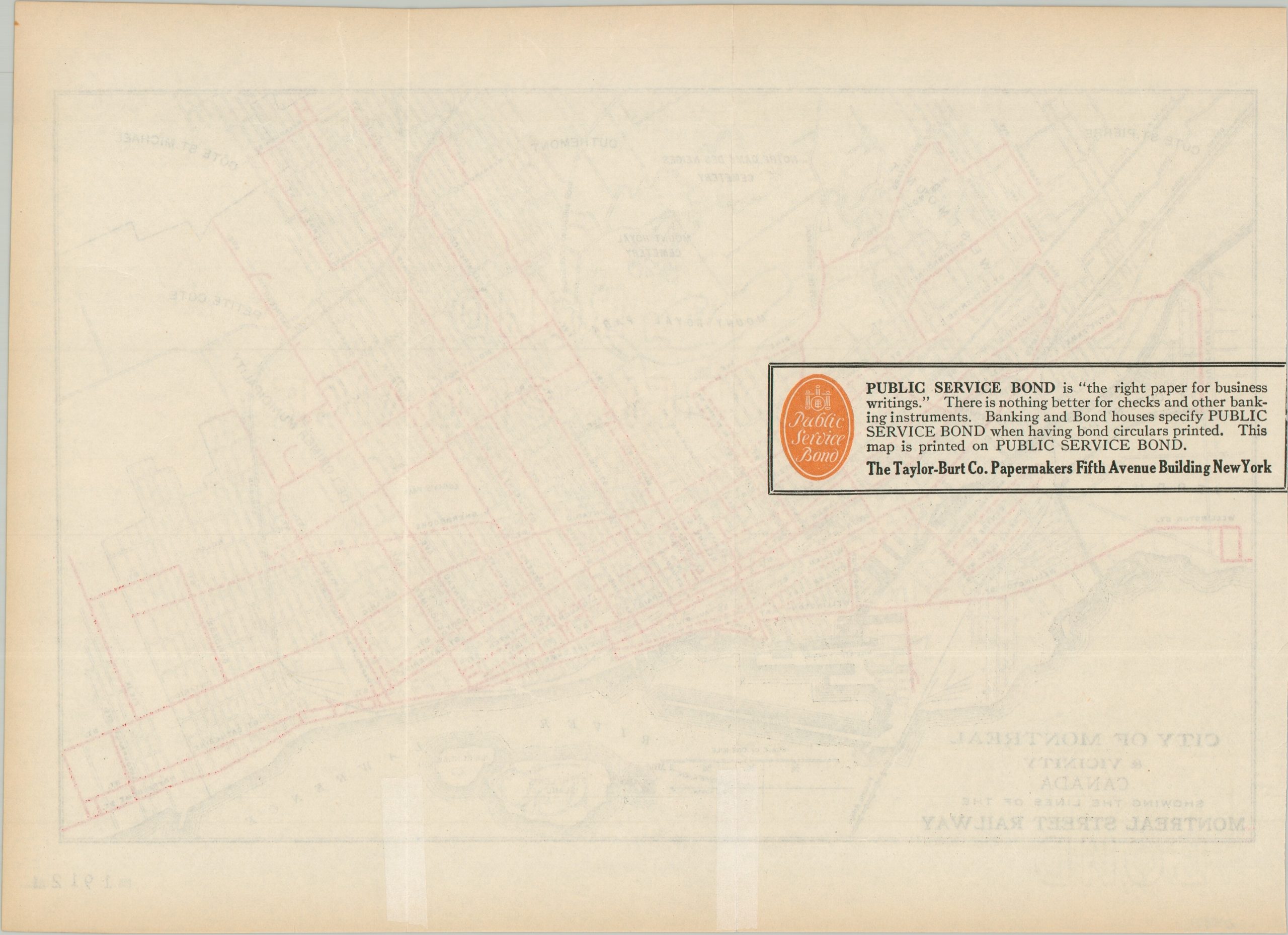
The map is undated, but likely issued around 1907 or 1908 based on the content. A stamp in the lower right shows the date 1912, but by then the Montreal Street Railway had been incorporated into the Montreal Tramways Company. Promotional text on the verso indicates the sheet was printed on Public Service Bond paper by the Taylor-Burt Company of New York.
Map Details
Publication Date: c. 1908
Author: Montreal Street Railway
Sheet Width (in): 12.25
Sheet Height (in): 9.00
Condition: A-
Condition Description: Promotional map on watermarked paper formerly folded into thirds, with small splits repairs on the verso. Light wear, consistent with age. Very good condition overall.
$125.00
1 in stock