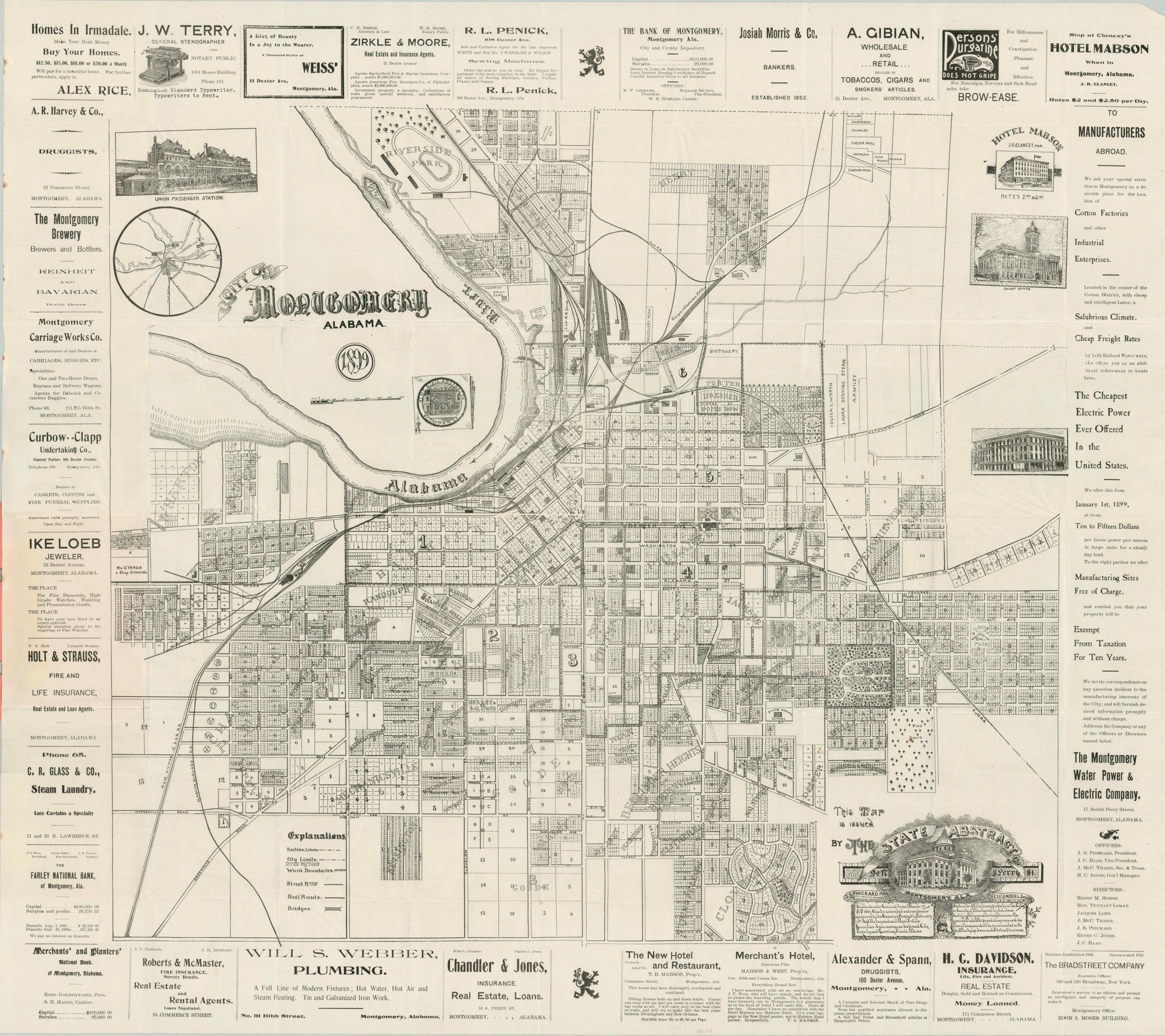
City of Montgomery, Alabama 1899
$775.00
Montgomery at the turn of the century.
1 in stock
Description
“This little sketch of the city is necessarily imperfect, as it is circumscribed by the small space assigned to it. We hope, however, it may serve to call attention to Montgomery as a field for investment and as a location for the home seeker.” – The Publishers.
This detailed pocket map of Montgomery, Alabama was published locally in 1899 by The State Abstract Company, a real estate and title firm established twelve years prior. Montgomery’s industrial potential is on full display, with a robust system of railroad facilities and numerous businesses; including (but not limited to) a distillery, brickyard, ice factory, slaughterhouse, cotton mills, water and gas works, and an oil refinery. The city’s ultra-modern electric streetcar network, one of the first in the nation when introduced, is proudly shown facilitating urban expansion into the growing suburban areas. Recreational opportunities include numerous parks, a baseball diamond, and the Capital City Gun Club. Over a dozen contemporary advertisements surround the image, with the entire right side occupied by promotional text by the Montgomery Water Power & Electric Company.
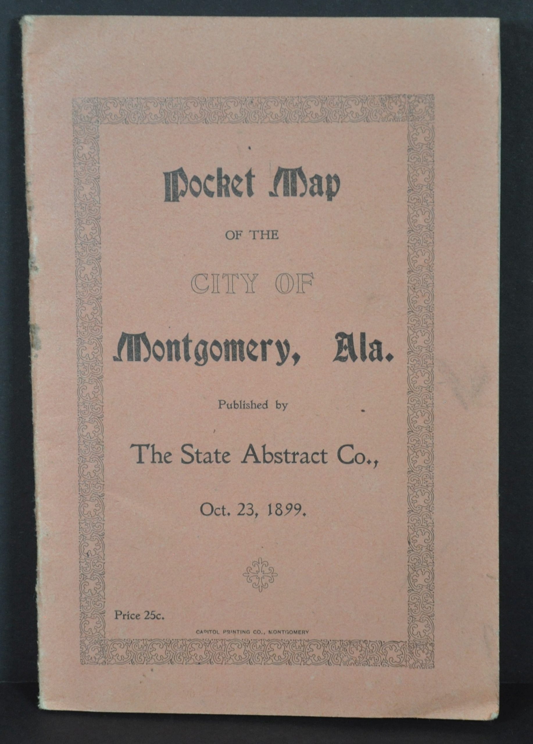
The map folds into a sixteen-page guidebook to the city which offers a brief history and information on local services, amenities (including a list of fireboxes), transportation, agriculture, etc. Montgomery’s contemporary racial attitudes are also referenced, with an excerpt from the ‘Population and Prospects’ section reading, “The population of Montgomery is divided almost entirely between the pure Caucasian and the African races; the foreign element numbering hardly more than two and one-half percent. The white race is in absolute control of the City Government, and proposes to remain so.”
The map is uncommon on the market and listed in 4 institutions in WorldCat, at Samford University, the University of Southern Maine, Harvard University, and Vanderbilt University. OCLC# 1141782047.
Map Details
Publication Date: 1899
Author: The State Abstract Company
Sheet Width (in): 35
Sheet Height (in): 31
Condition: A-
Condition Description: Large pocket map folded into 45 segments and affixed to a 16 pp. guidebook with stapled binding and original red paper wraps, as issued. The map is printed on somewhat thin paper that is sharply creased along folds. A few small spots from the staples, rusted on the spine. Very good condition overall.
$775.00
1 in stock