City Map Tokyo
$75.00
Tokyo after the U.S. military occupation of Japan.
1 in stock
Description
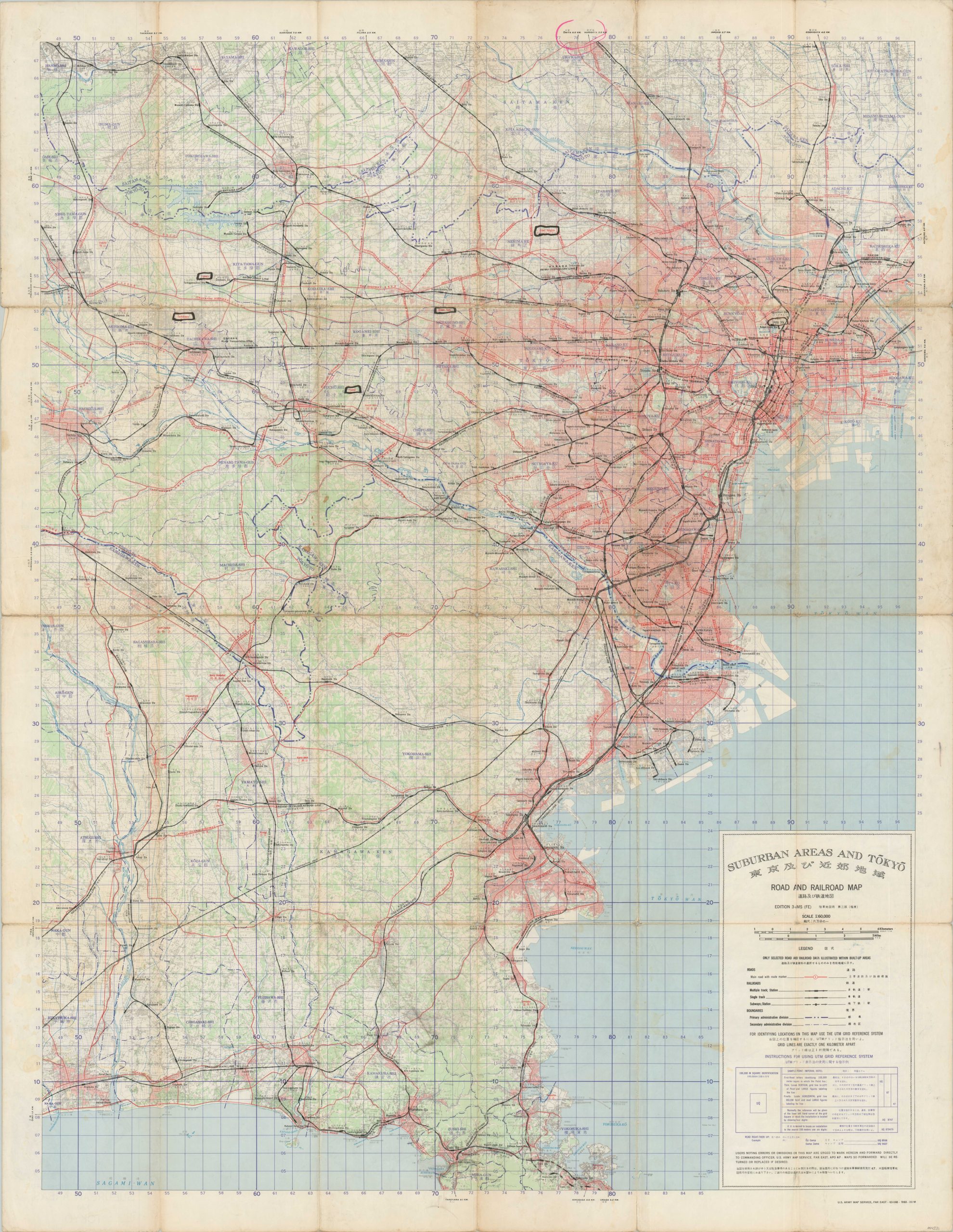
This large and intricately detailed map of Tokyo was originally published in 1958 by the United States Army Map Service, though this example (2nd edition) shows updates to 1963, according to the legend in the lower right. Just over ten years prior, the Treaty of San Francisco restored full sovereignty to Japan and re-established peaceful relations with the Allied powers. However, a significant American military presence would remain by invitation of the Japanese government.
The image shows the system of roads (red) and railroads that connect the greater Tokyo metropolitan area. Of particular interest is the duplicative street names listed, referencing the Japanese terms and those employed by the occupying security forces. The verso shows a similar map of the Tokyo suburbs, with the city’s urban density represented with red shading.
Map Details
Publication Date: 1963
Author: Army Map Service
Sheet Width (in): 34.25
Sheet Height (in):
Condition: B
Condition Description: Double sided map folded into 24 panels. Moderate wear and creasing along fold lines, plus some areas of separation that have been repaired with archival tape. Minor scattered soiling visible in several places (see lower right) and a few scattered annotations made in black ink. About good condition overall.
$75.00
1 in stock


