
City Map Central Tokyo
An American map of Occupied Tokyo that notes the houses of U.S. military dependents.
Out of stock

Description
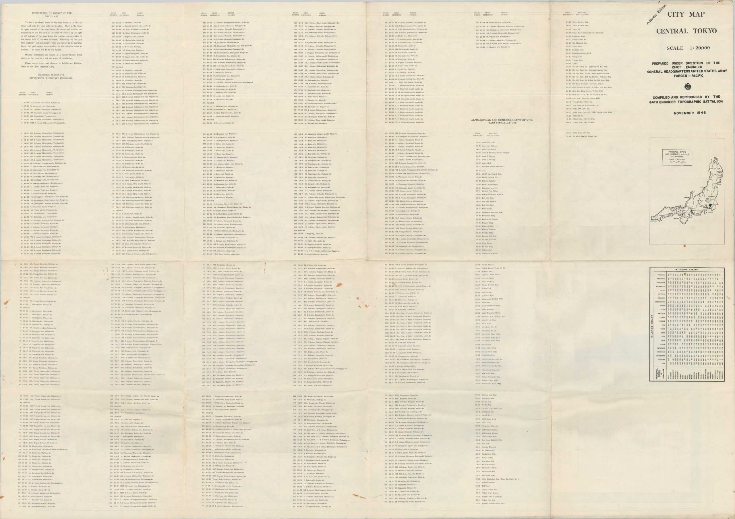
This detailed map of Central Tokyo was published in November 1946 by the 64th Engineer Topographic Battalion of the United States Army. Much of the city was utterly devastated by Allied firebombing raids about a year and a half prior to issue, so the robust transportation network reflects an impressive rebuilding effort (heavily supported by the U.S. occupational government). The plan carefully notes the location of hundreds of houses occupied by dependents of American servicemen, with corresponding addresses provided in an index on the verso.
Map Details
Publication Date: 1946
Author: 64th Engineer Topographic Battalion
Sheet Width (in): 27.25
Sheet Height (in): 38.75
Condition: B+
Condition Description: Color printed map on a single thick sheet that shows moderate creasing and wrinkling along old fold lines. Two folded segments in the center right are moderately toned/soiled and there is some staining (probably rust) near the center of the sheet and in the upper margin. Good condition overall.
Out of stock