Chicagoland Village Maps
Mapping Chicagoland’s changes during the early 1970s.
Out of stock
Description
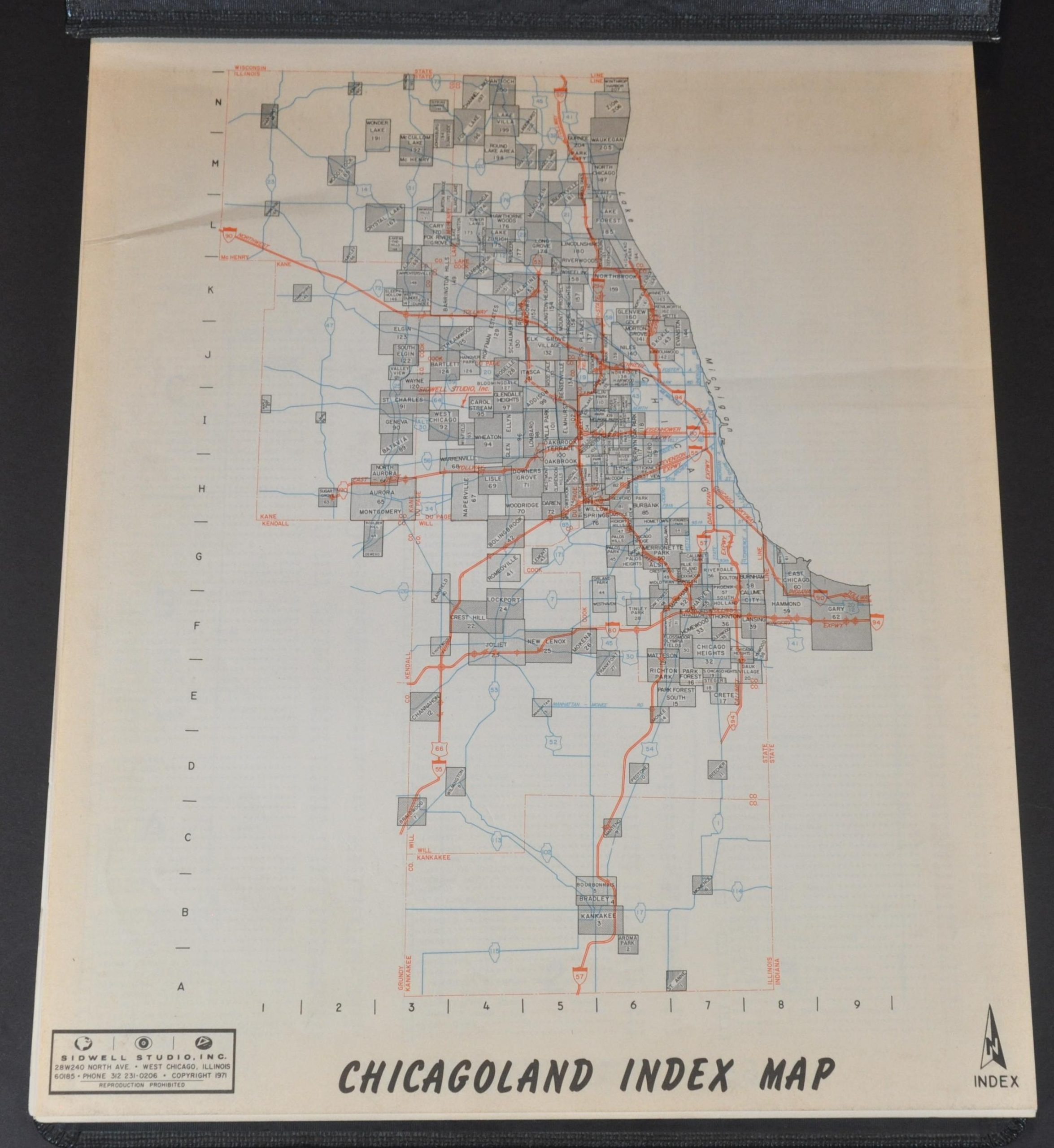
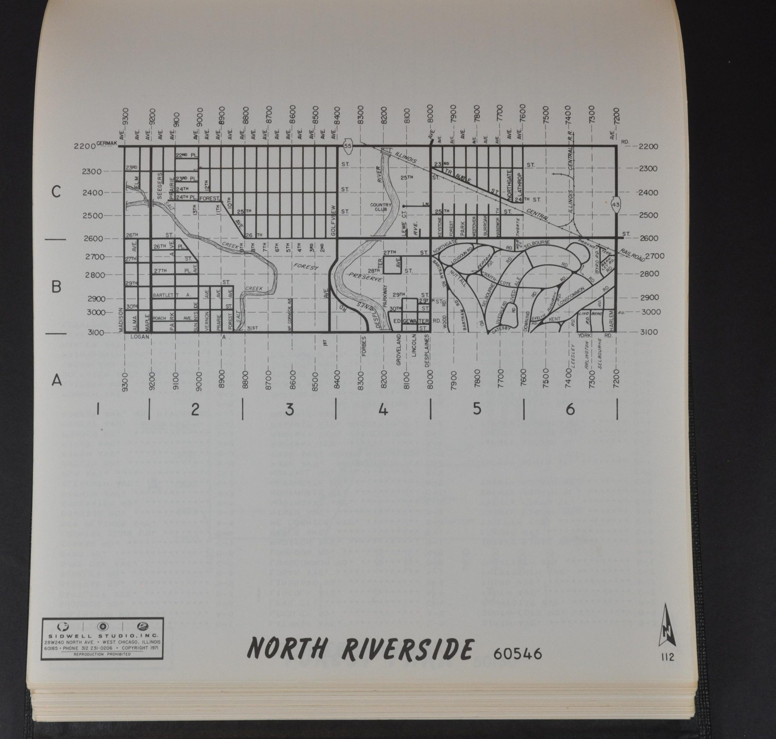
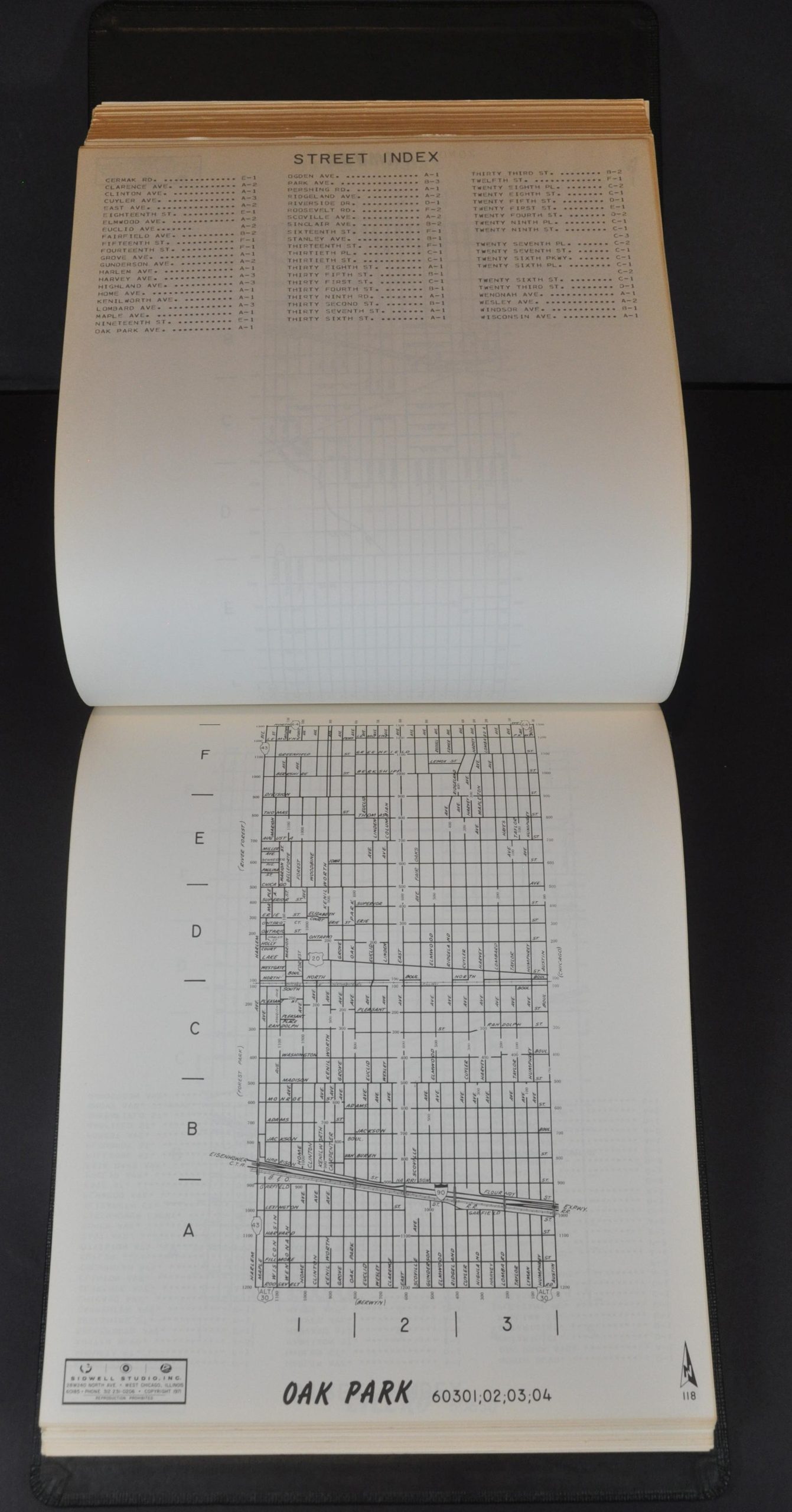
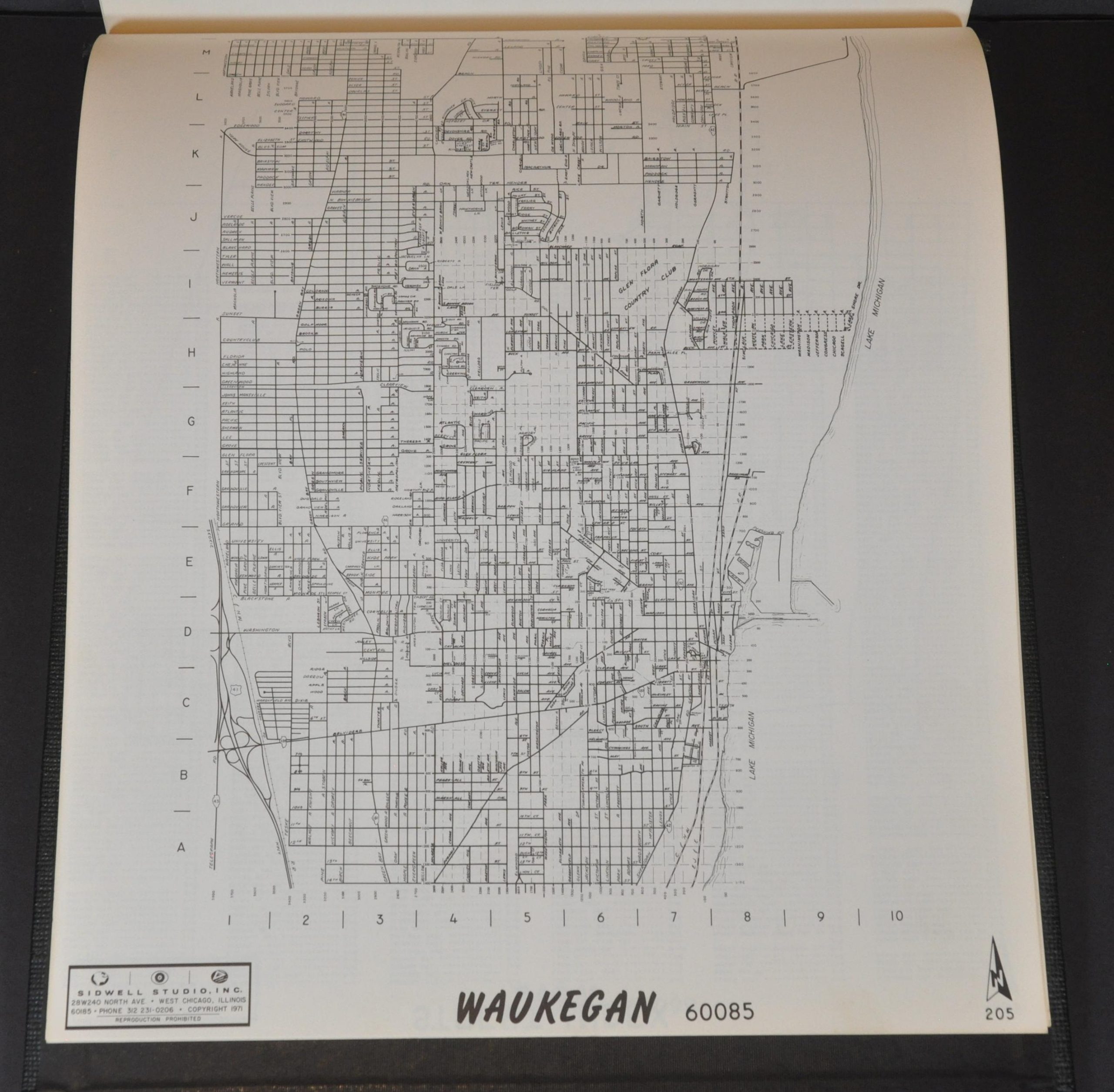
This uncommon collection of Chicago area real estate maps was published in 1971 by Sidwell Studio, Inc. of West Chicago. Each page presents a simple keyed street plan; noting railroads, primary highways, geographic features, and large tracts like cemeteries, golf courses, and campuses. A street index is provided on the verso of each page.
The group of over 200 large-scale maps presents a detailed overview of the Metropolitan Chicago Area near the end of the Great Migration, when suburban growth exploded due in large part to ‘white flight’ from the urban city center. Other immigrant communities – notably Mexicans, Italians, and Poles – also began to carve out their respective niches in Chicagoland around this time in patterns that can still be seen today.
Map Details
Publication Date: 1971
Author: Sidwell Studio, Inc.
Sheet Width (in): 11.1
Sheet Height (in): 13.1
Condition: A-
Condition Description: 208 pp. real estate atlas bound with metal rivets in original full black cloth covered boards. Contents are lightly toned and worn, consistent with age. Complete, with 207 village maps + index. Very good condition overall.
Out of stock


