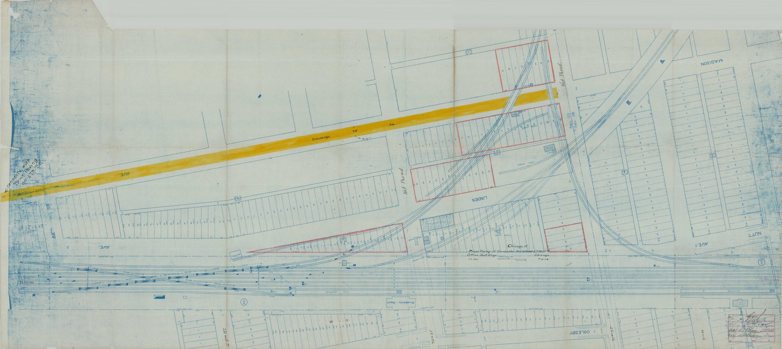
Chicago, Ill. Prop’d Paving of Dorchester Ave Between 67 – 71st St.
$250.00
Improving Chicago’s South Side during the Progressive Era.
1 in stock
Description
This unusual plan, drawn to a scale of 1″ = 50′, presents a stretch of Dorchester Avenue between 71st and 68th Streets, on Chicago’s South Side. It highlights the area’s gradual industrial development during the early 20th century, noting several streets as ‘Not Paved.’ The Brookdale Depot and 72nd St. Depot are captured within the image. A series of signed and dated approvals can be seen in the lower corner.
Map Details
Publication Date: 1915
Author: Baltimore & Ohio Railroad Office of Assistant Engineer?
Sheet Width (in): 57.2
Sheet Height (in): 23.6
Condition: B
Condition Description: Large mechanically printed blueprint with manuscript annotations, including red outlines, yellow color, and black ink. Trimmed irregular edges, probably as issued. Creased along old fold lines and several closed tears along the outer edges of the sheet. A few scattered spots along the lower center of the image. Wear consistent with age and prior use. About good condition overall.
$250.00
1 in stock