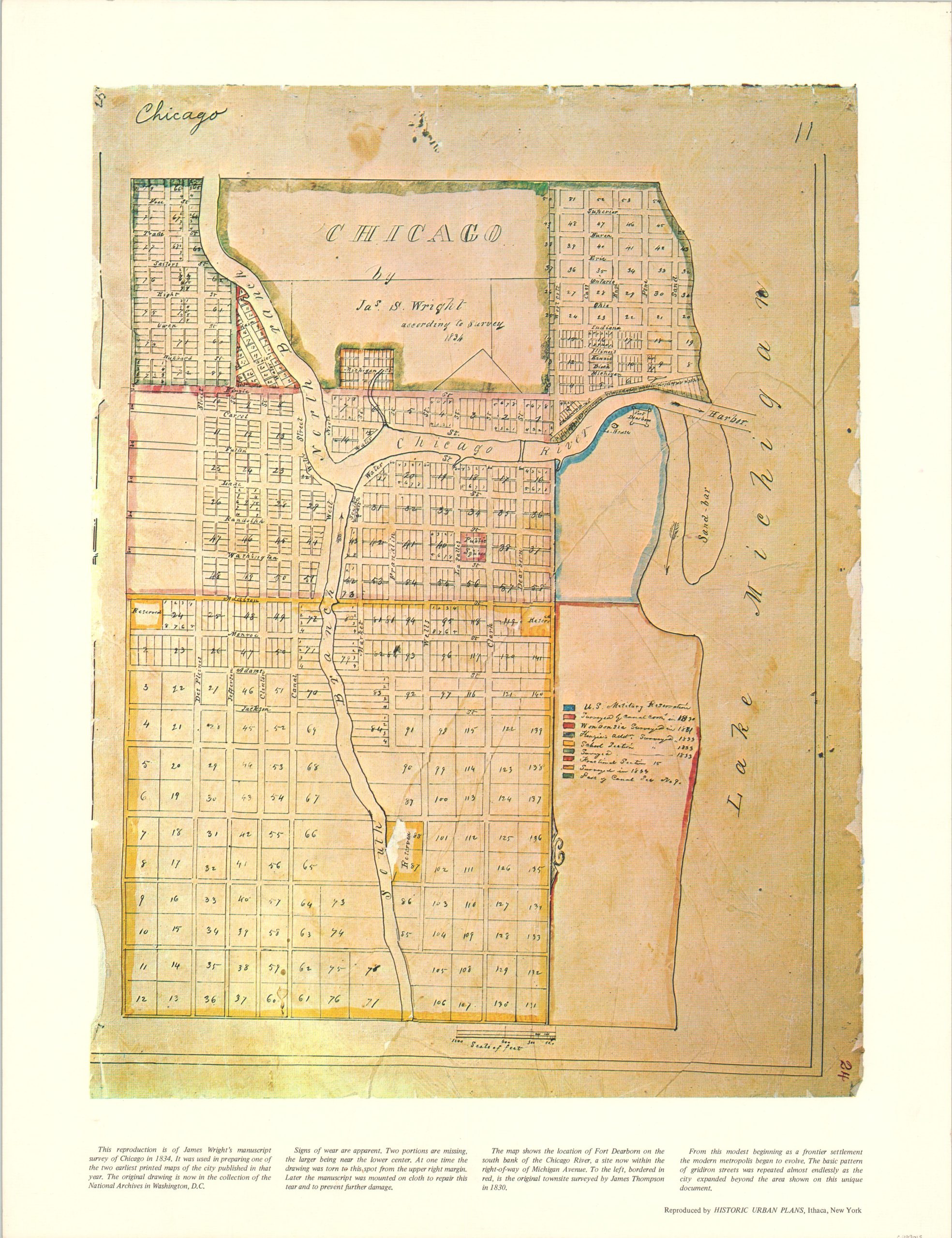
Chicago by James S. Wright
$110.00
Later reproduction of one of the earliest maps of Chicago.
1 in stock
Description
This attractive full-color reproduction of James Wright’s foundational manuscript map of Chicago was published by Historic Urban Plans of Ithaca, New York around 1969. It shows the new city, incorporated the year prior, with its familiar grid pattern along the shores of Lake Michigan.
A new cut has been made through the sandbar (a source of constant irritation) to accommodate river traffic, and both the lighthouse and Fort Dearborn are located. According to the text along the bottom, “from this modest beginning as a frontier settlement, the modern metropolis began to evolve.”
Map Details
Publication Date: c. 1969
Author: James Wright
Sheet Width (in): 16.75
Sheet Height (in): 21.75
Condition: A
Condition Description: Near fine.
$110.00
1 in stock


