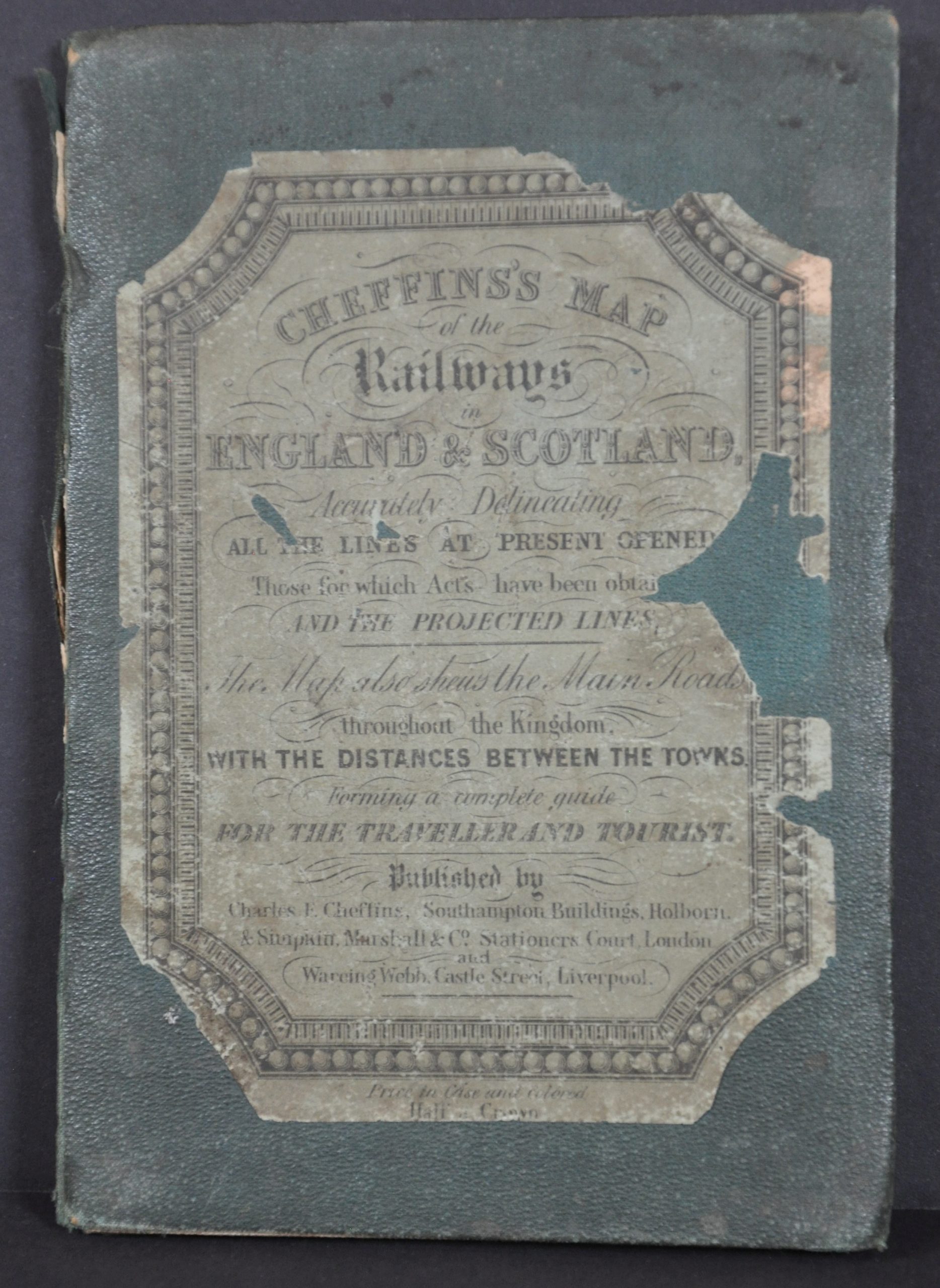
Cheffin’s Map of the English & Scotch Railways
$195.00
The first decade of railway construction across Britain.
1 in stock
Description
“After the opening in 1830 of the Liverpool and Manchester Railway – the first inter-city line in the world – Britain’s railway system exploded into life as engineers, funded by eager investors, wove a system of iron tracks across the land. The excitement and trauma of this new age was everywhere. In 1843 alone more than 200 railway bills passed through parliament. Cheffin’s map shows a nation in flux, illustrating both completed and proposed routes.” – Science Museum Group.
This interesting pocket map shows the rapidly expanding network of railroads across Britain and Scotland, Designed, lithographed, printed, and published by Charles F. Cheffin in Southampton, probably in 1841 or 1842. It appears to be the first edition, as subsequent issues (at least five up until 1850) are identified as such under the title block.
Map Details
Publication Date: c. 1841
Author: Charles F. Cheffin
Sheet Width (in): 23
Sheet Height (in): 27.6
Condition: B+
Condition Description: Pocket map dissected into 20 segments, mounted on original linen, and affixed to original green cloth covered boards. The paper is curling and shows some moderate discoloration along the panels. Scattered areas of soiling visible around the outer edges of the sheet. Good to very good condition overall.
$195.00
1 in stock


