Chart of the Mouths of the Rivers Mersey and Dee with a Map of the Adjacent Country
$125.00
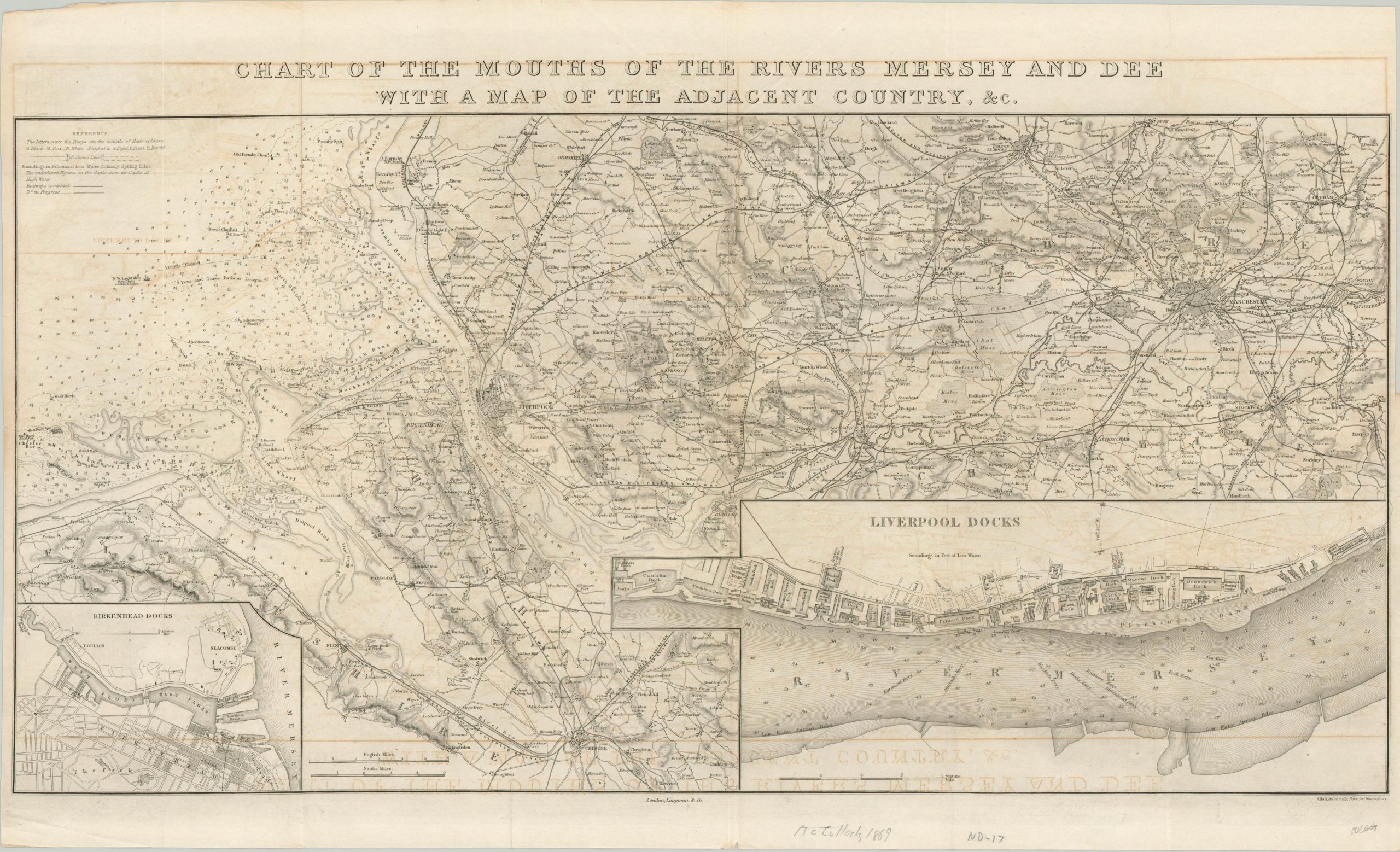
Detailed map of the mouth of the River Mersey and the area around Liverpool.
1 in stock
Description
The relationship between Liverpool and the sea is as old as the city itself, and the River Mersey is the conduit that facilitated the match. The geographic situation is evident on this finely steel engraved map of the region around the city, including nearby Manchester.
Depth soundings reflect a relatively safe passage upriver to the massive dock facilities that stretch along its banks. An inset of the Liverpool Docks in the lower right gives one a sense of their immense scope. Railroads connect the city and coast to towns across England’s interior, while canals facilitate the cheap and efficient transportation of bulk goods and people. A second inset map in the lower left shows the Birkenhead dock facilities, just across the river from Liverpool.
Map Details
Publication Date: 1869
Author: S. Hall
Sheet Width (in): 26.30
Sheet Height (in): 16.10
Condition: B
Condition Description: Moderate offsetting visible throughout the image and light creasing along original fold lines. Heavier creasing along the vertical centerfold, and a few small tears along the outer edges of the sheet.
$125.00
1 in stock

