
Chart of Santa Monica Bay California
$175.00
The famous beaches of Southern California in the late 19th century
1 in stock
Description
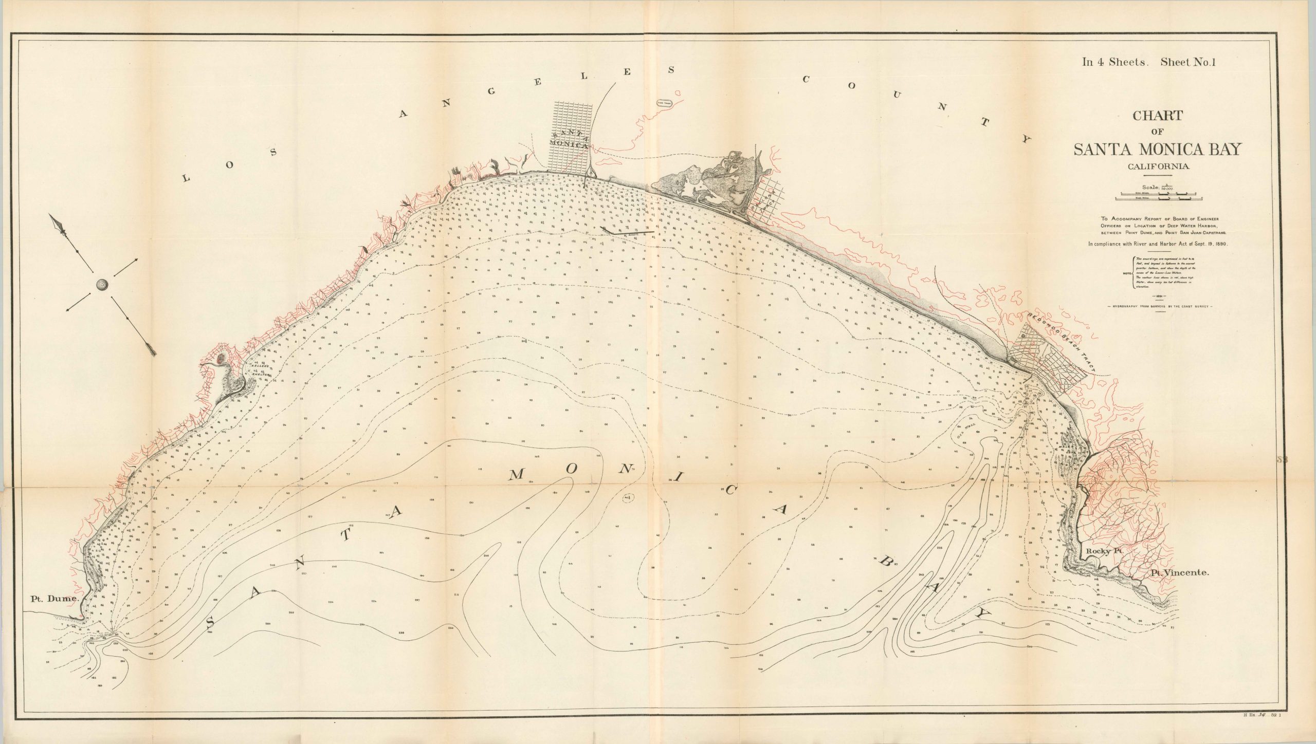
This fascinating coastal survey of Southern California is bounded approximately by Point Dumas in the east and Point Vincente in the west. Between the two are some of the most popular and iconic beaches in the United States- Malibu, Redondo, Manhattan, and Venice. The image predates the vast majority of development that would come to define the region.
Santa Monica is the only town (established in 1875), though there are surveyed tracts for Redondo Beach and La Rancha Ballona. At least one operational railroad is shown, along with an early race track. Depth soundings are noted along the coastline, along with a handful of features like Keller’s Shelter, Malga Cove, and the oil fields that would fuel early economic growth.
Designed by the United States Army Corps of Engineers and published by the Government Printing Office in 1891. One of four sheets originally issued to accompany a Congressional report by the Board of Engineer Office on Location of Deep Water Harbor between Point Dume and Point San Juan Capistrano.
Map Details
Publication Date: 1891
Author: U.S. Corps of Engineers
Sheet Width (in): 43.25
Sheet Height (in): 25
Condition: B+
Condition Description: Two lithographed sheets, joined along a vetical seam that overlaps about 3/4". Several spots of clean separation along former fold lines, repaired on the verso with archival tape. Light toning also visible along the lower horizontal seam. Some show through on the center right from a number (23) stamped on the verso. Narrow left margin, as issued. Good to very good condition overall.
$175.00
1 in stock