
Chapman’s Sectional Map of Wisconsin with the Most Recent Surveys
$475.00
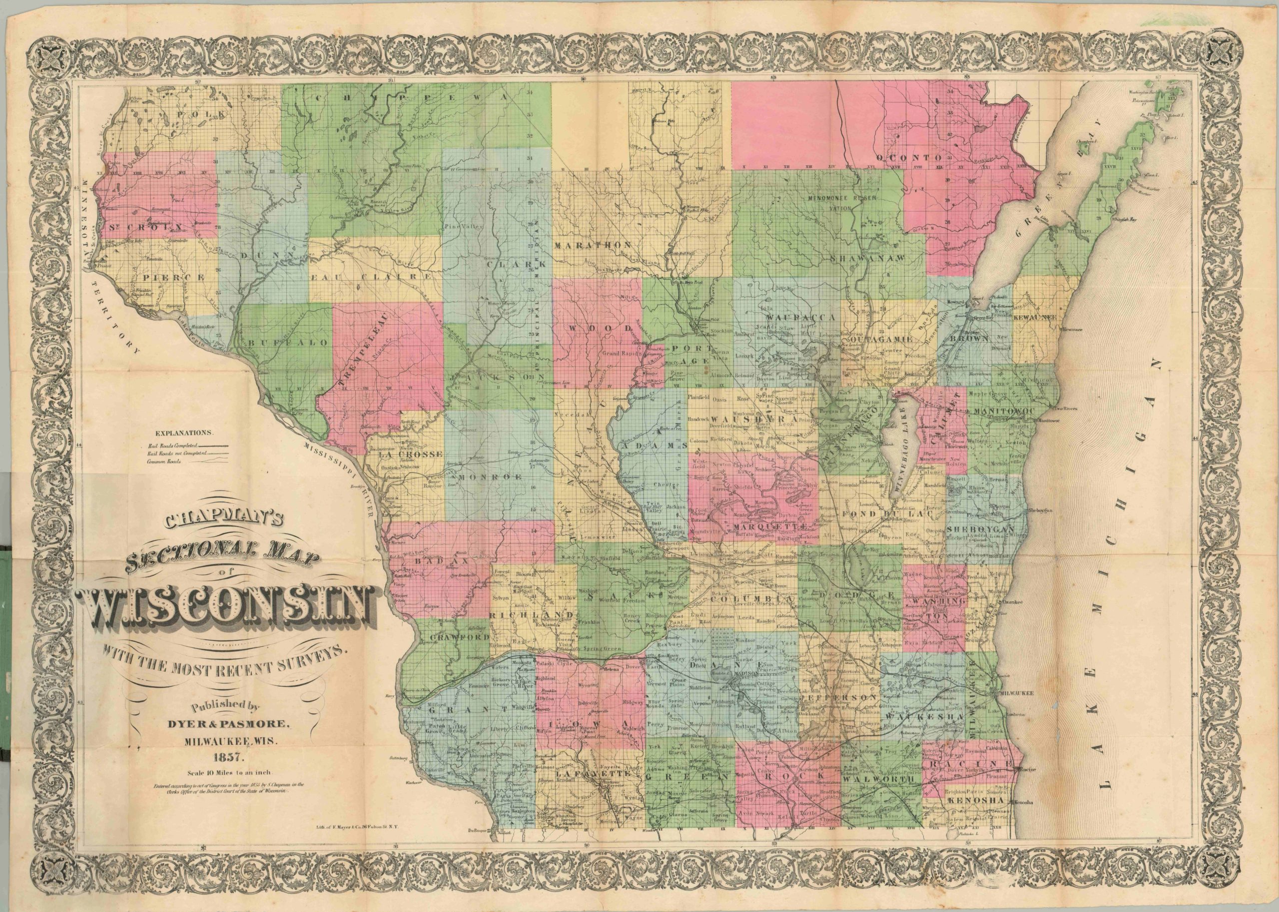
Pocket map showing the progress of settlement in Wisconsin.
Description
This map of the surveyed portion of Wisconsin was issued by Silas Chapman about a decade after the state’s admission to the Union. Division of the former territory into counties and townships has reached the northern extremities of the sheet, and Chapman would create a follow-up for publication the same year that includes the borders of the entire state.
Railroads, both completed and proposed, are noted and the ambitious routes can be seen traveling off the map in several directions. Numerous Native American reservations are identified, and the absence of settlement in the northern portion of the state reflects its largely backwoods composition.
Chapman produced numerous important early maps of Midwestern states between about 1850 and 1870. His partners and successors, Dyer and Passmore, updated and re-published his maps into the 1880’s, and published this example as well. Lithographed by F. Mayer & Co. in New York.
Map Details
Publication Date: 1857
Author: Silas Chapman
Sheet Width (in): 33.00
Sheet Height (in): 23.90
Condition: B
Condition Description: Creasing and some wear along fold lines, including one significant spot in the lower right part of the sheet. A few small holes at fold intersections, and minor soiling in the top margin. Original brown gilt boards are present and in good shape.
$475.00