
Certified Copies of Important Maps Appertaining to the 23rd and 24th Wards, City of New York
$295.00
Detailed property atlas of the Bronx highlighting development during the 19th century.
1 in stock




Description
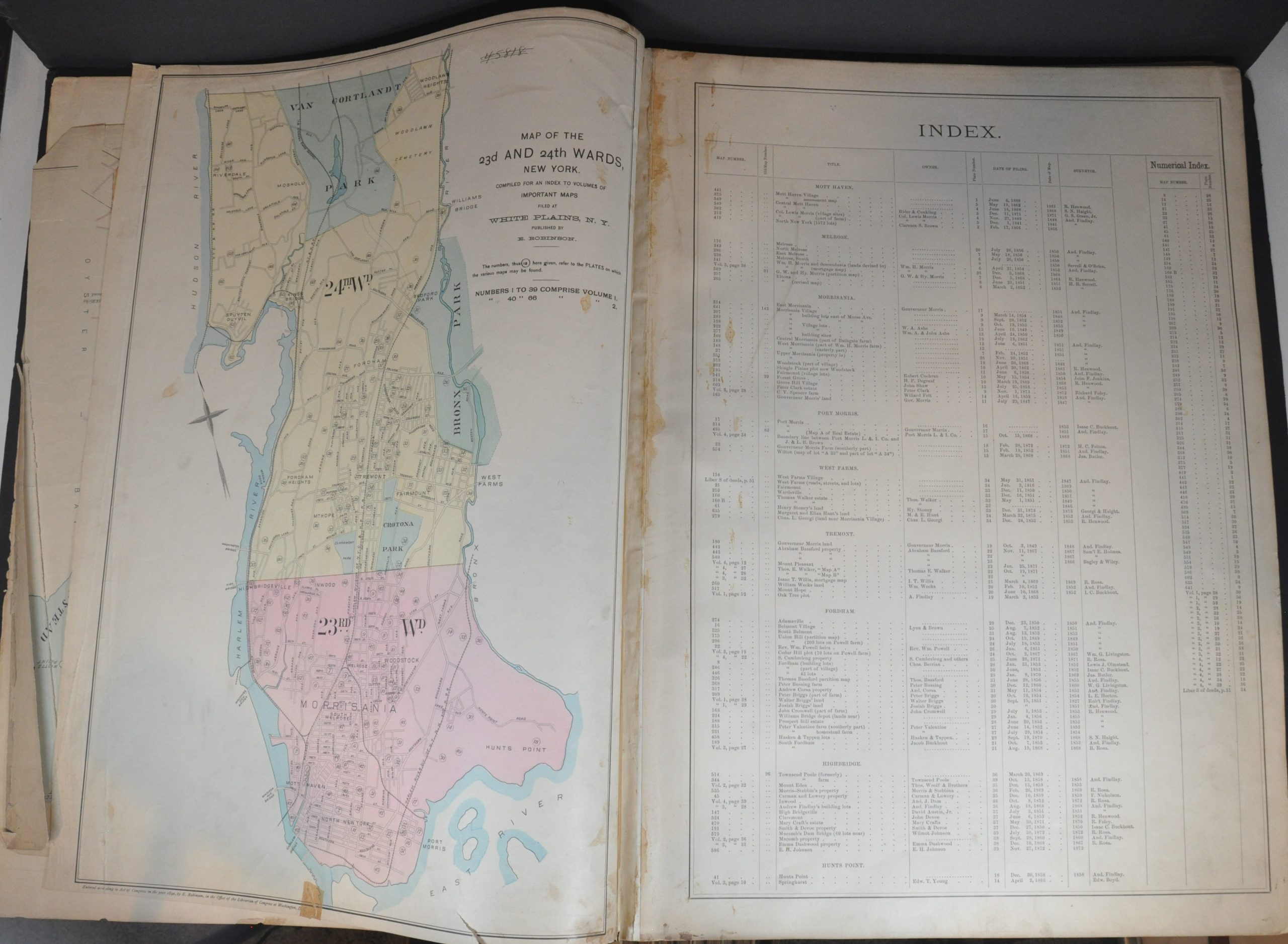
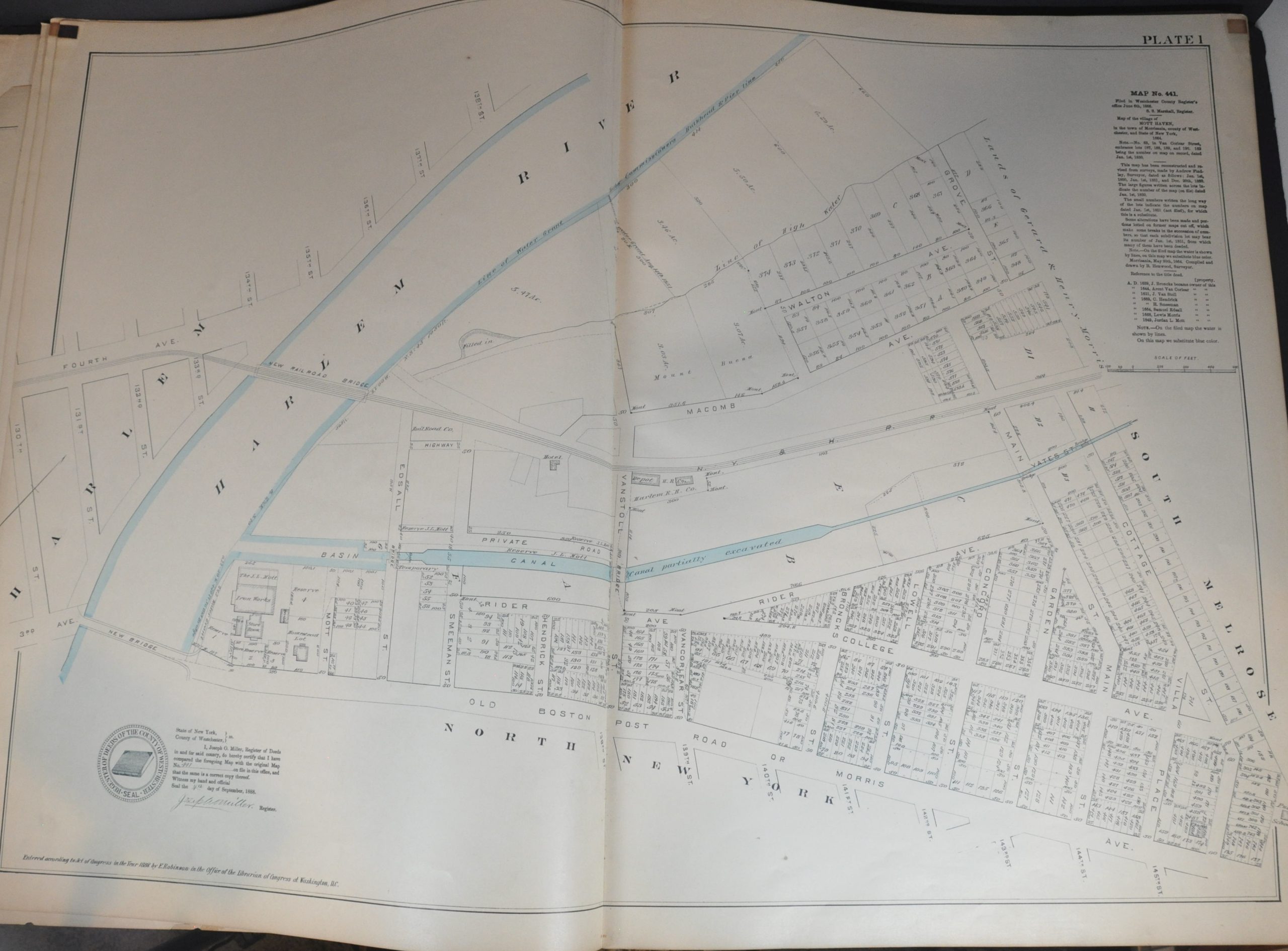
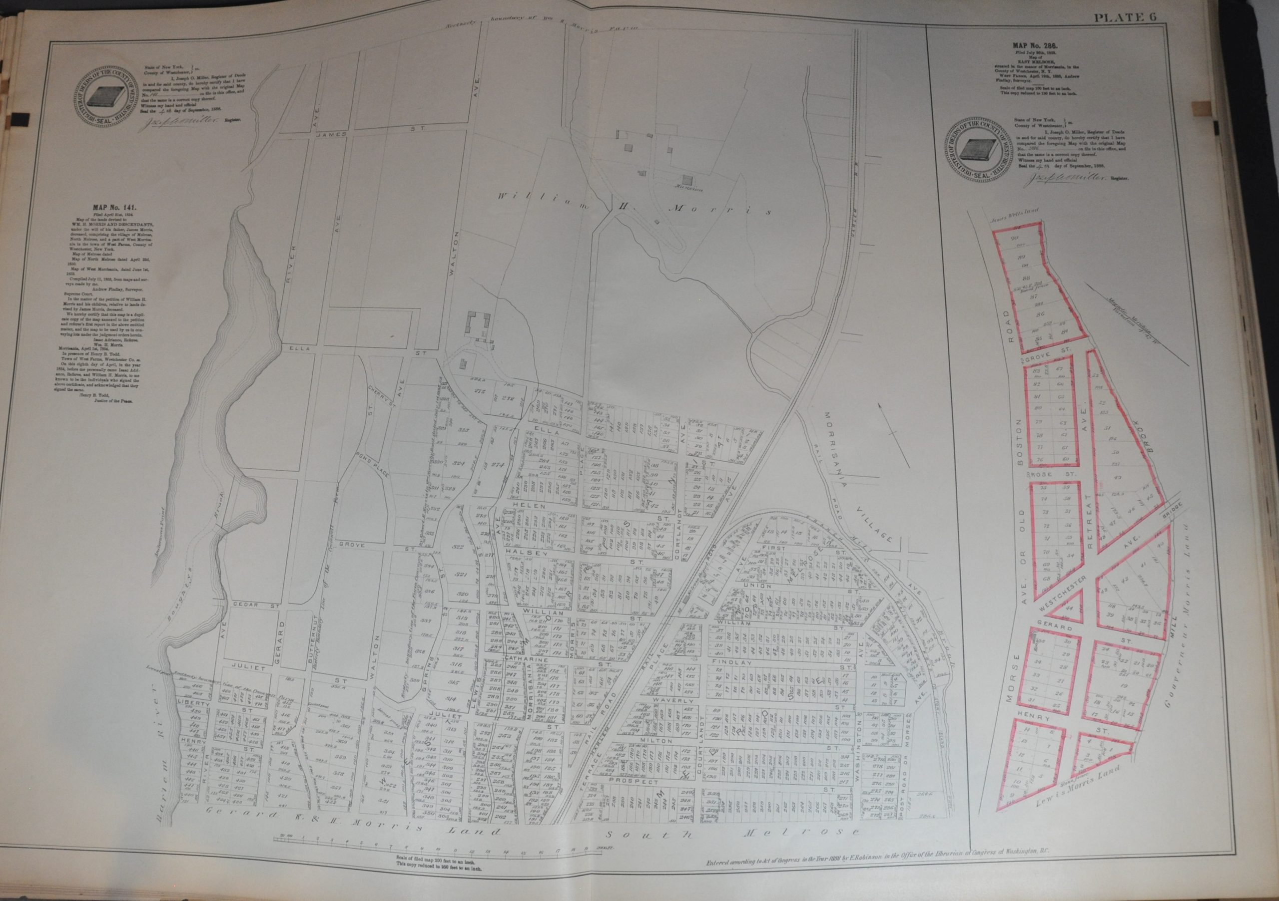
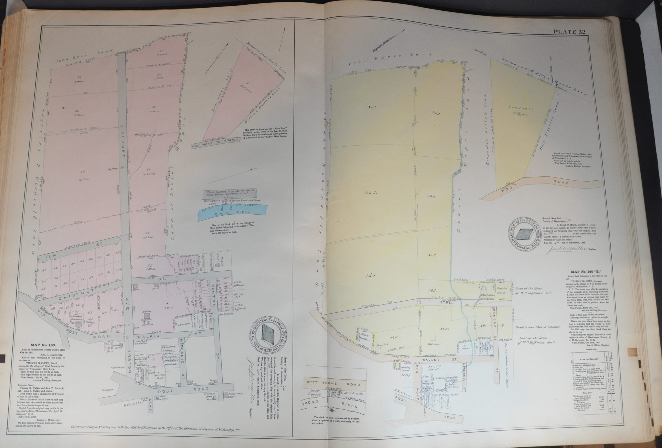
This interesting and uncommon collection of plat maps was compiled and published by Elisha Robinson in 1890 (title page shows a date of 1888, but the key map is dated 1890). The 39 hand-colored lithographed sheets cover much of New York’s 23rd and 24th wards on the northeast side of the Bronx. Each page offers extreme detail on the composition of the represented area, including measurements of lots and roads, landscape features, names of property owners, and important structures. Of particular interest are the newly organized Van Cortlandt and Bronx Parks, both established in 1888.
According to the title page and accompanying index, the atlas contains certified copies of official maps filed at the Land Records Division in White Plains, New York. Each is dated between the late 1840s and the early 1870s, offering insightful detail into the physical development of the borough during the 19th century. The area covered by the atlas was officially annexed by the City of New York in 1874, but it would not be until 1895 that the whole territory east of the Bronx River was added.
Starting in the 1870s, Elisha Robinson (1832-1912) and his publication firm issued several real estate and fire insurance atlases covering New York City and other major urban areas like Chicago, Detroit, and Denver. The large scale and attention to detail make the maps invaluable primary sources for historians, genealogists, urban planners, and more.
Fully scanned example at NYPL available here.
Map Details
Publication Date: 1890
Author: Elisha Robinson
Sheet Width (in): 17.25
Sheet Height (in): 24
Condition: B
Condition Description: Volume I only (of two). Ex-libris from the New York Association of the Bar Library, a deaccessioned duplicate with several rubberstamps. Lacking boards, but the contents are complete - 39 double-page maps, title page, an index, and overall map of the wards. The index and key map show old cellophane tape repairs and the other pages have scattered soiling, concentrated primarily along the fore-edges and in the margins. A handful of closed tears also in the margins as a result of somewhat brittle paper. About good condition overall.
$295.00
1 in stock