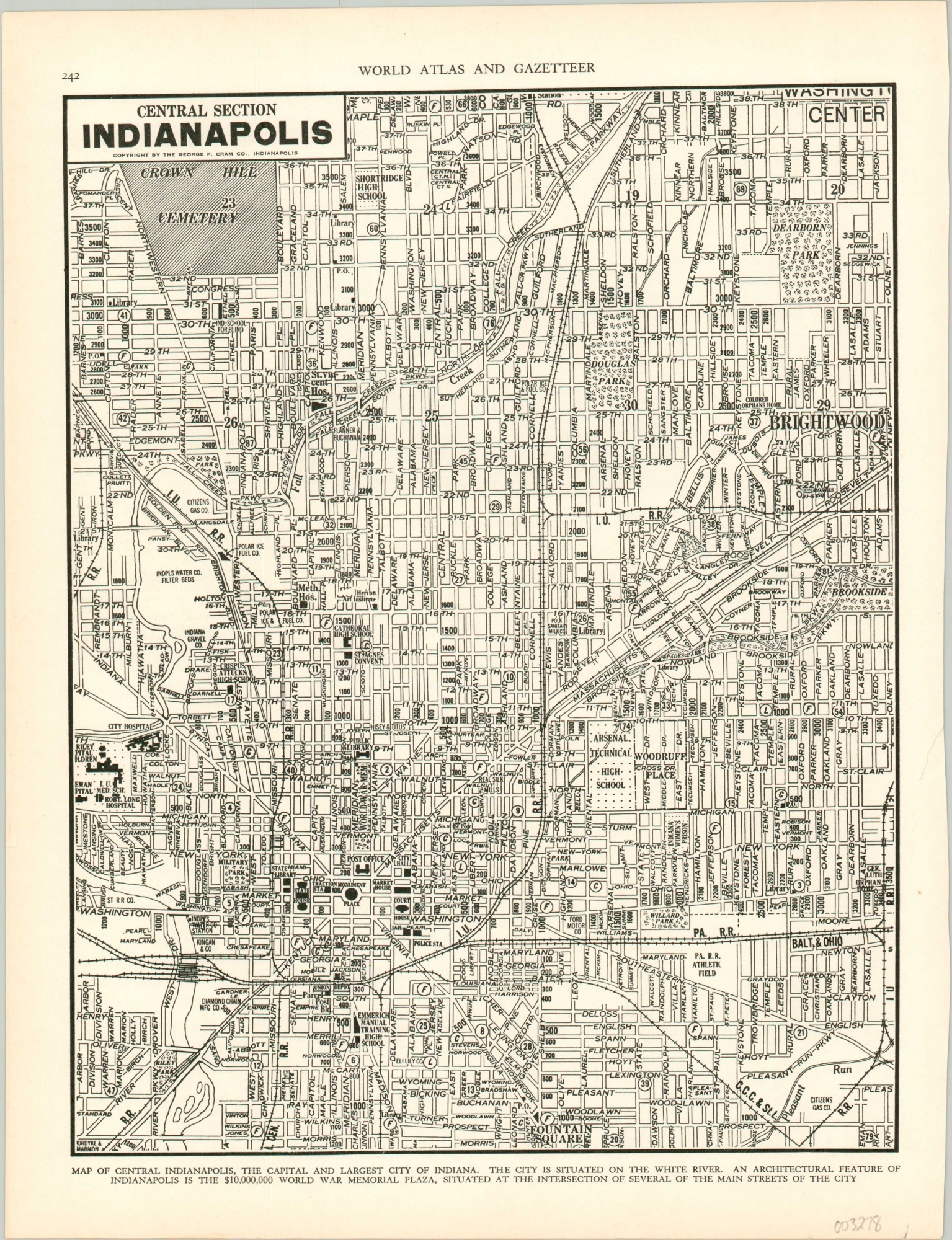
Central Section Indianapolis
$30.00
Prewar map of downtown Indianapolis, Indiana.
1 in stock
Description
This detailed, almost cluttered, street plan of Indianapolis, Indiana focuses on the city’s central business section and northwest sides. Parks, schools, businesses, cemeteries, and more are labeled throughout the image, including the Post Office, Riley’s Children’s Hospital, and Cathedral High School.
Also of interest is the World War Memorial Plaza, finished a few years prior to publication. Notes at the bottom of the sheet indicate the project cost $10,000,000, though omit the fact it was funded by money originally intended as bonuses to World War I veterans.
Published locally by George F. Cram and Company in 1939.
Map Details
Publication Date: 1939
Author: George Cram
Sheet Width (in): 10.60
Sheet Height (in): 13.9
Condition: A
Condition Description: Light toning and wear along the outer edges, consistent with age. Near fine.
$30.00
1 in stock

