
Central Railroad of New Jersey
$200.00
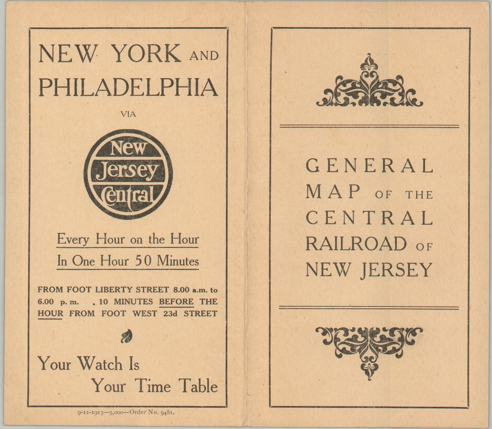
A ‘General Map of the Central Railroad of New Jersey’ – front cover
1 in stock
Description
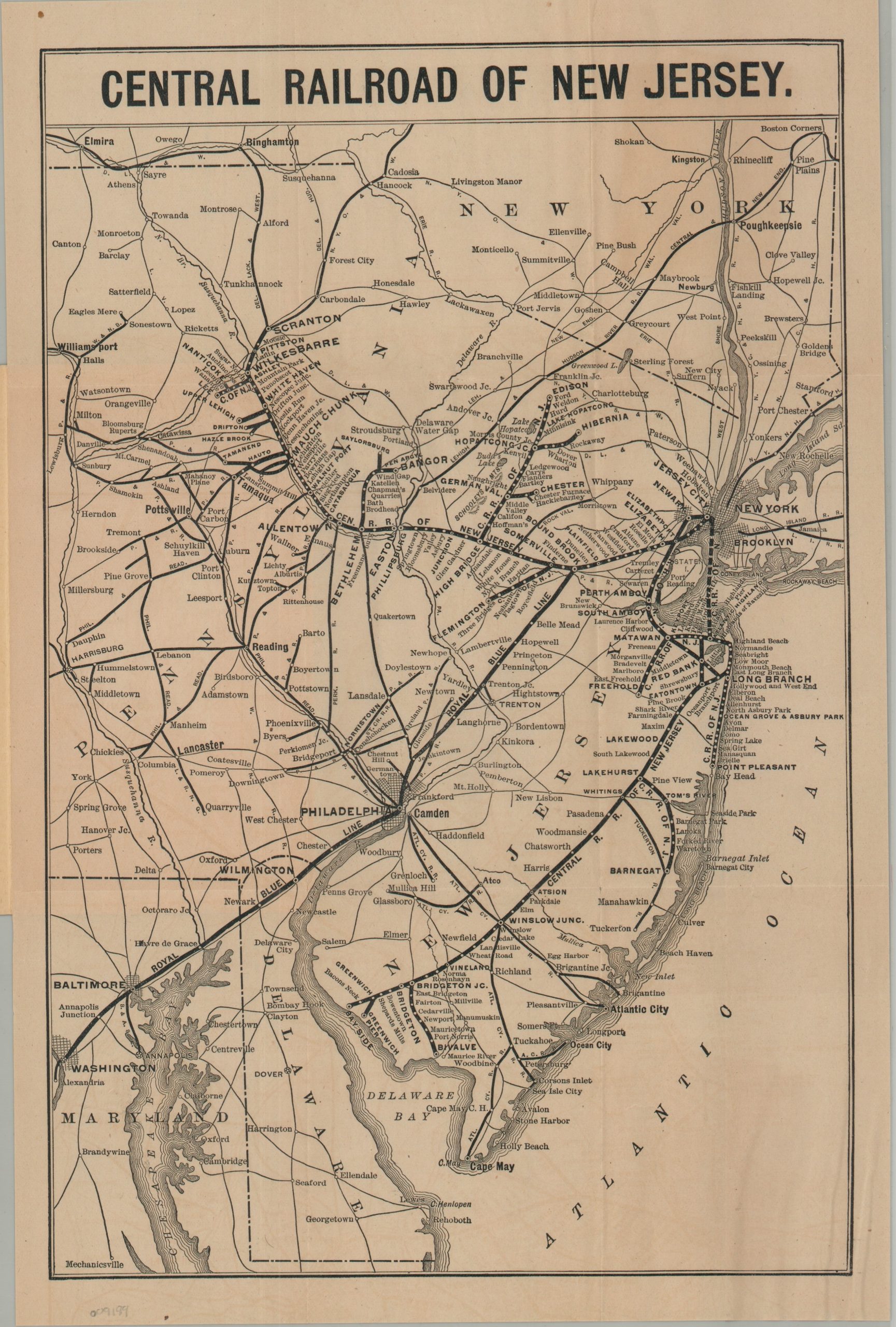
This rather straightforward map of New Jersey and portions of the surrounding states was published in 1913 to advertise the Central Railroad of New Jersey. CNJ lines stretch from Scranton, Pennsylvania, to New York and the Jersey Coast, with branches reaching places such as Bangor, Edison, and Hibernia. Numerous connections are labeled throughout the map, which extends west to Harrisburg and south to Washington, D.C., while also reaching north to Poughkeepsie and Elmira. Of particular interest is the Royal Blue Line, a popular passenger service operated by the Baltimore & Ohio in conjunction with the CNJ and other connecting railroads. Advertisements for Atlantic City, Asbury Park, and Lakehurst, all accessible via the New Jersey Central, are printed inside the front cover.
Map Details
Publication Date: 1913
Author: Central Railroad of New Jersey
Sheet Width (in): 9.60
Sheet Height (in): 14.50
Condition: A
Condition Description: Single-sided map printed on somewhat thin paper, folded, and affixed to original stiff paper wraps. Some very light surface soiling and a small spot in the upper left margin. Faint offsetting visible in the negative spaces. Very good condition overall.
$200.00
1 in stock