Centennial Map of Denver [title on verso]
$70.00
The city of Denver about 95 years after it was founded.
1 in stock
Description
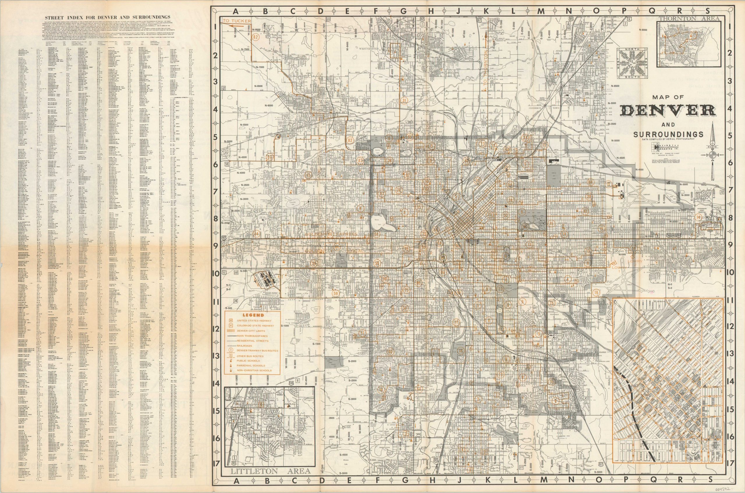
Though this map is titled the ‘Official Centennial Map of Denver’, text on the verso indicates that it published about 95 years after the city’s founding, by the Hotchkiss Map Company on behalf of American National Bank. It continues – “Denver is the political capital of the state of Colorado. It is the commercial, financial, cultural, and the professional capital of a region much larger than any one state. It is the natural capital of the entire Rocky Mountain west, an area containing one-third of the land in the U.S.”
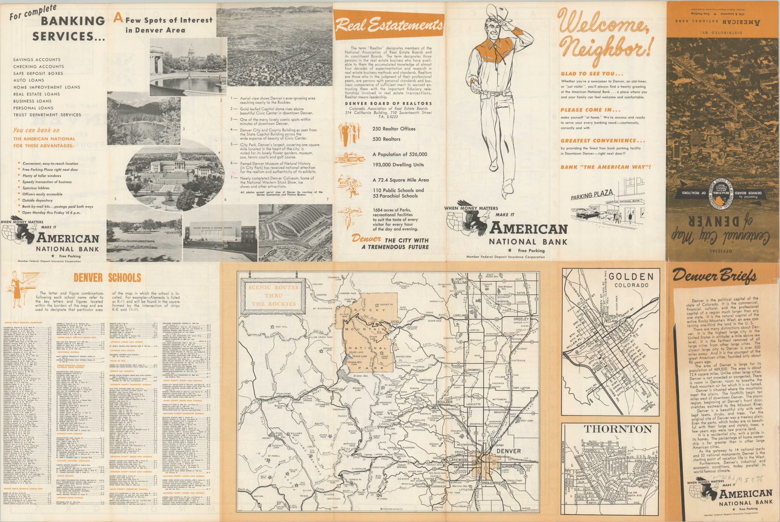
The map presents a mid-century street plan of the Mile High City that identifies schools, primary transportation routes, and notable locations of interest. Three inset plans show the Thornton Area (upper right), Littleton Area (lower left) and downtown Denver (lower right). The left side of the sheet contains a comprehensive street index in alphanumeric order. The verso provides a ‘Real Estatement’ by the Denver Board of Realtors, a list of Denver area schools, advertisements for First American Bank, and maps of Golden, Thornton, and ‘Scenic Routes Thru the Rockies.’
Map Details
Publication Date: 1953
Author: Hotchkiss Mapping Company
Sheet Width (in): 26.5
Sheet Height (in):
Condition: B+
Condition Description: Double sided map folded into 14 segments, with moderate wear and faint discoloration along fold lines. Minor spots of separation at fold intersections and wear along the outer edges of the sheet. Good condition overall.
$70.00
1 in stock


