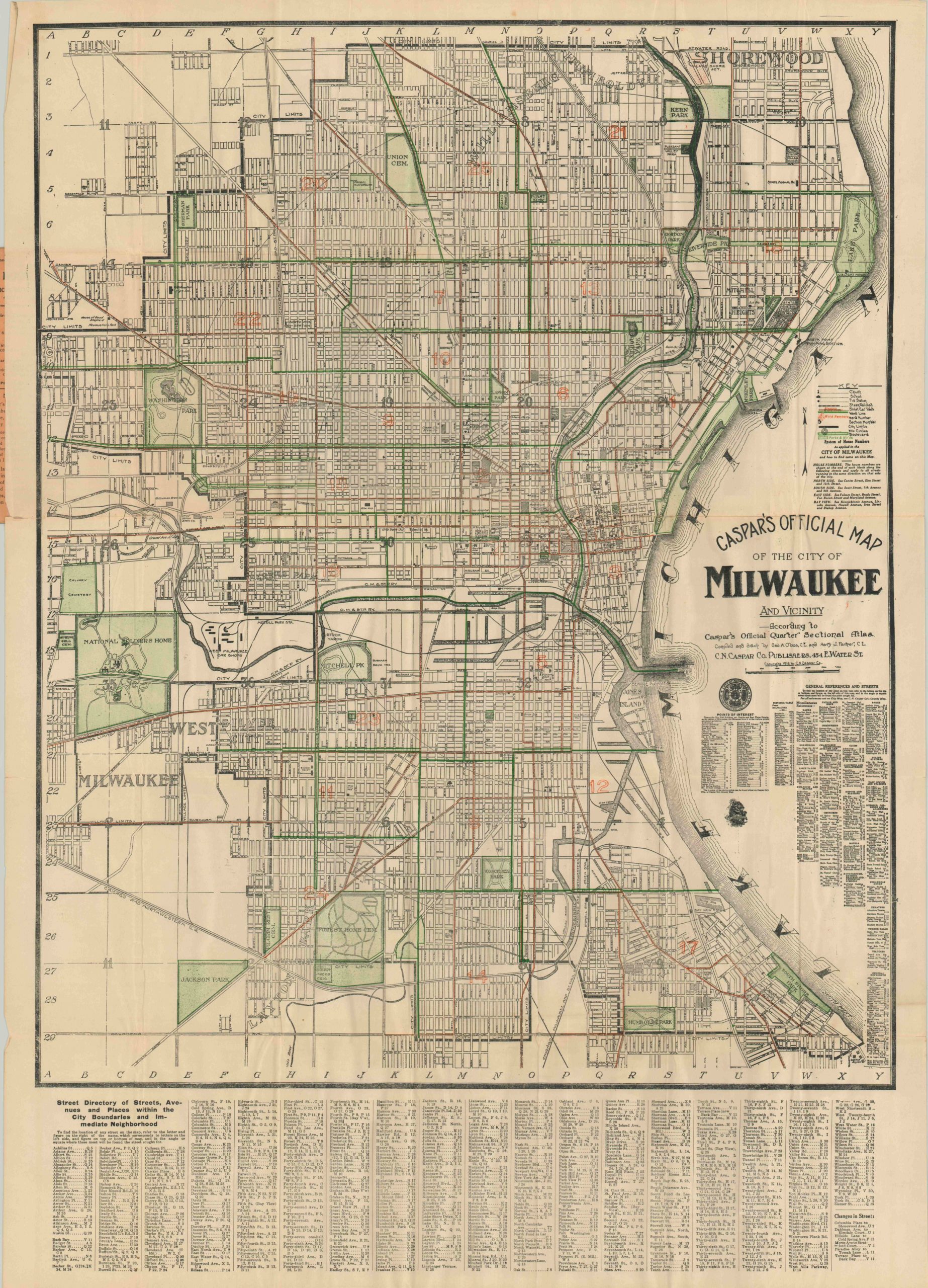
Caspar’s Official Map of the City of Milwaukee
$125.00
Detailed pocket map showing early 20th century Milwaukee.
Description
In the first half of the 20th century, Milwaukee was considered the Socialist capital of the United States. Three socialist mayors were elected between 1910 and 1960, one of the only major cities to do so. Known as “Sewer Socialists” based on their practical approach to sanitation systems, the Milwaukee Socialists spearheaded efforts to improve public education, provide affordable housing and revitalize impoverished neighborhood. In 1916, the year of publication, the Socialist Dan Hoan defeated incumbent Gerhard Bading, who was a dually nominated candidate from the Republican and Democrat parties!
In addition to political tension, Milwaukee also experienced social conflict in the years of WWI. A significant German minority was originally largely supportive of the Kaiser and recriminations from locals were not uncommon, especially after America’s entry to the war in 1917. Many immigrants changed their name in order to appear more American.
It’s within this context that this map of Milwaukee was designed and produced. It shows a city embracing its cosmopolitan identity, with numerous parks and boulevards shaded in green and the primary transportation routes (streetcars and railroads) in black. An accompanying index and street directory provide detailed information on the city’s amenities and include points of interest, businesses (including breweries, as to be expected) and leisure spots.
Map Details
Publication Date: 1916
Author: George Cloos & Harry Farmer
Sheet Width (in): 23.20
Sheet Height (in): 32.5
Condition: A-
Condition Description: This folding pocket map is in excellent condition, with original paper covers. Separation along fold lines repaired on verso and some creasing, otherwise very fine.
$125.00

