
Cartomap Cass Lake Minnesota Showing Cass, Andrusia, and other Lakes in that Vicinity with Historical Data Pertinent to the Area
$150.00
An uncommon pictorial of the area around Cass Lake, Minnesota.
1 in stock
Description
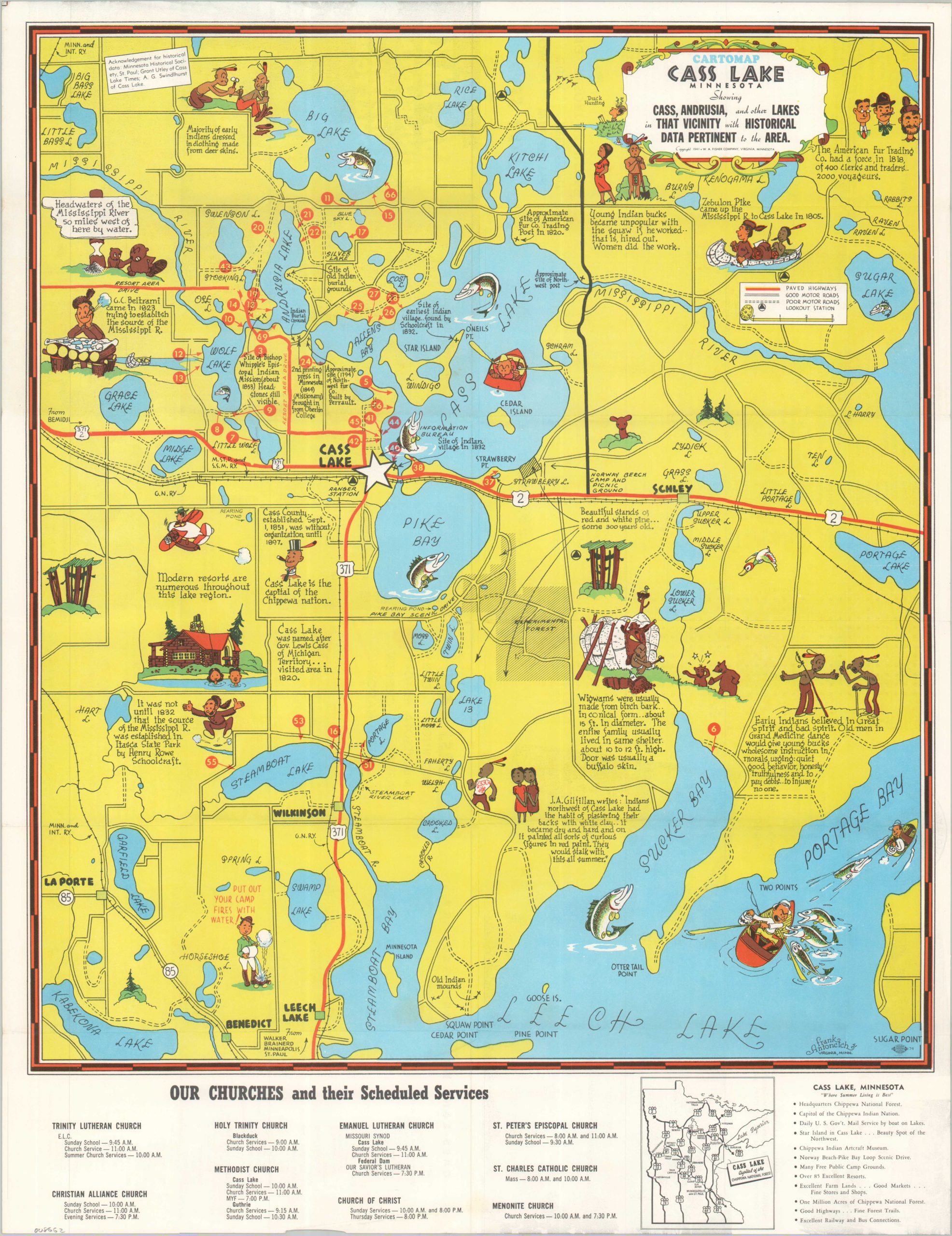
This lively map of Cass Lake, Minnesota, captures an optimistic, leisurely snapshot of the region prior to America’s involvement in World War II. Outdoor recreation is the primary emphasis, with leaping fish, tall trees, and various attractions depicted throughout. History lessons are also provided in the form of surprisingly progressive ethnic vignettes, which recognize the indigenous inhabitants (the area is part of the Leech Lake Indian Reservation) in addition to the white settlers and explorers. Church services are listed along the bottom of the sheet, while over fifty red dots pinpoint the location of various resorts, hotels, and campgrounds. These are listed on the verso, along with their respective amenities and the names of the proprietors.
The map was drawn in 1941 by Frank Antoncich (signed, lower right). It is one of several pictorials he created between the mid 1930s and the 1950s, mostly covering different recreational areas across the Land of 10,000 Lakes. Publication by the Secretary Civic and Commerce Association of Cass Lake, Minnesota.
Map Details
Publication Date: 1941
Author: Frank Antoncich
Sheet Width (in): 17
Sheet Height (in): 22
Condition: A
Condition Description: Double-sided map brochure with light wear along the outer edges of the sheet. Very good to near fine condition overall.
$150.00
1 in stock