
Carte Routiere Pour Automobilistes & Cyclistes – Este de la France Section Nord
$70.00
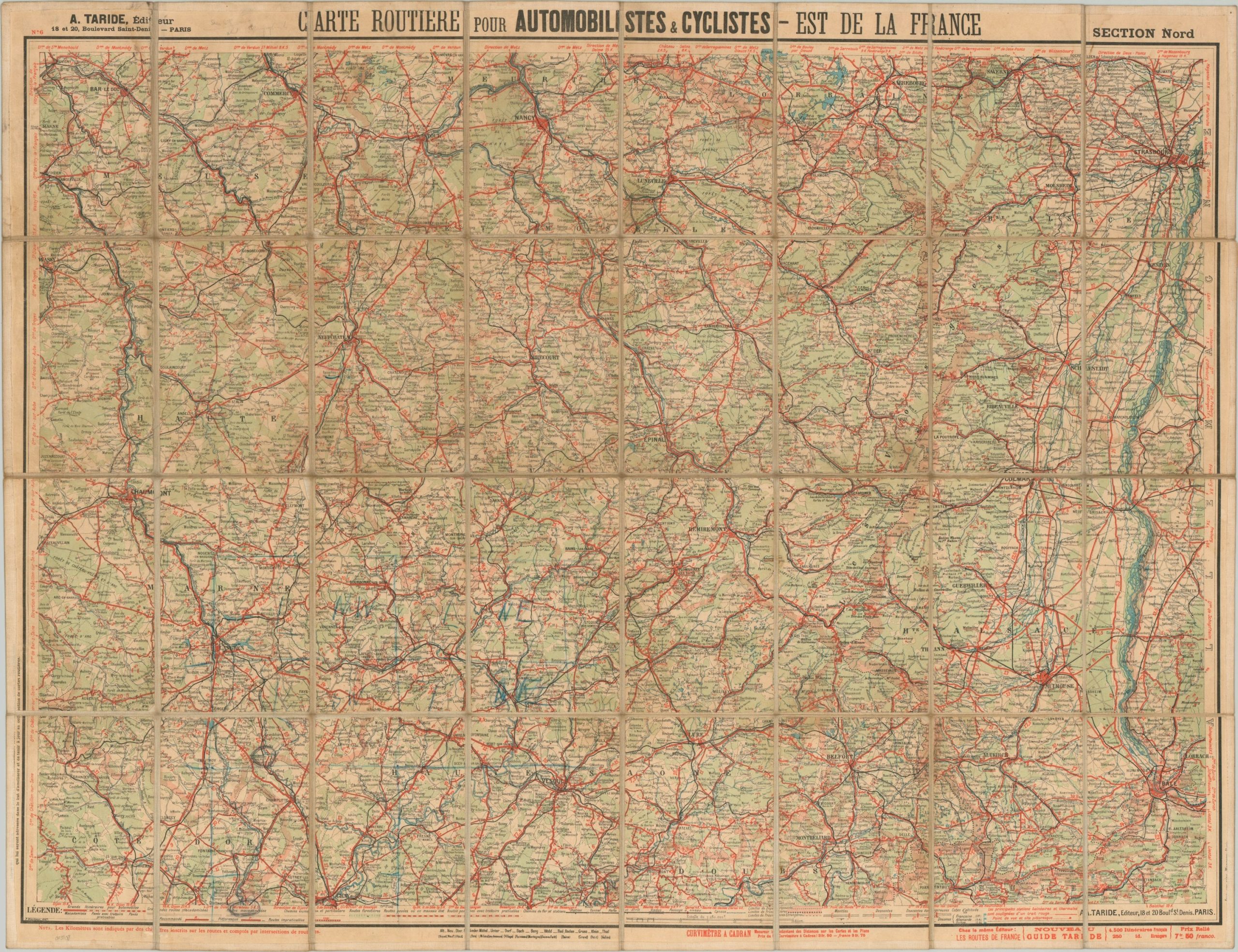
Early 20th century road map of northeastern France.
1 in stock
Description
This multi-purpose road map of northeastern France was published in the early 1920s in Paris by Alphonse Taride. Information of use to cyclists and motorists alike is presented within the image and outlined in the comprehensive key at the bottom of the sheet.
Details on the road network include surface composition, inclines and declines, and even recommended (versus impractical or impassable) routes. International and departmental borders, railroads, canals, and picturesque sites are also identified.
Map Details
Publication Date: c. 1920
Author: Alphonse Taride
Sheet Width (in): 35.75
Sheet Height (in): 27.6
Condition: B+
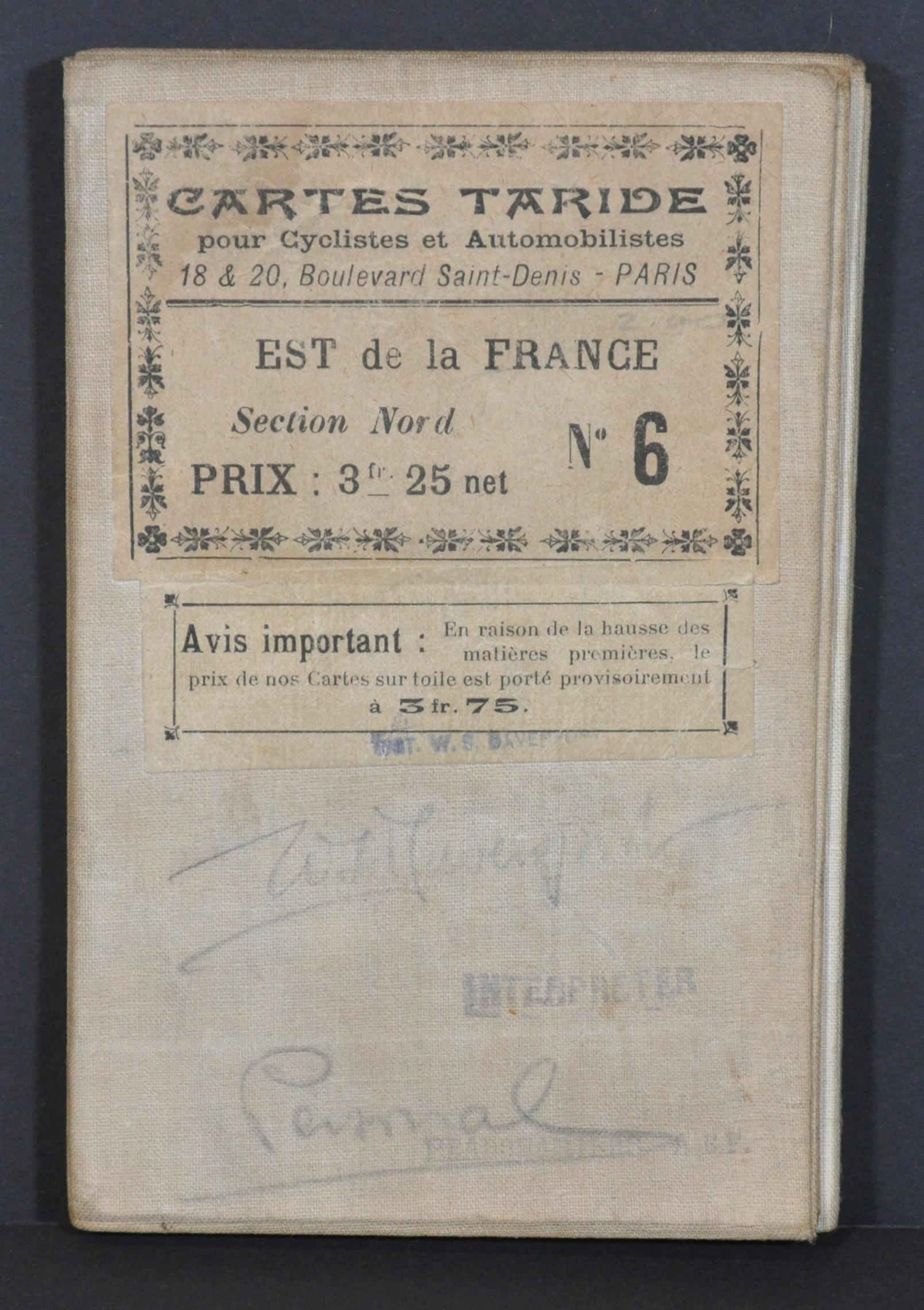
Condition Description: Dissected into 32 panels and affixed to contemporary linen backing. Moderately soiled throughout, consistent with age and use, and several spots circled in pencil across the image.
$70.00
1 in stock