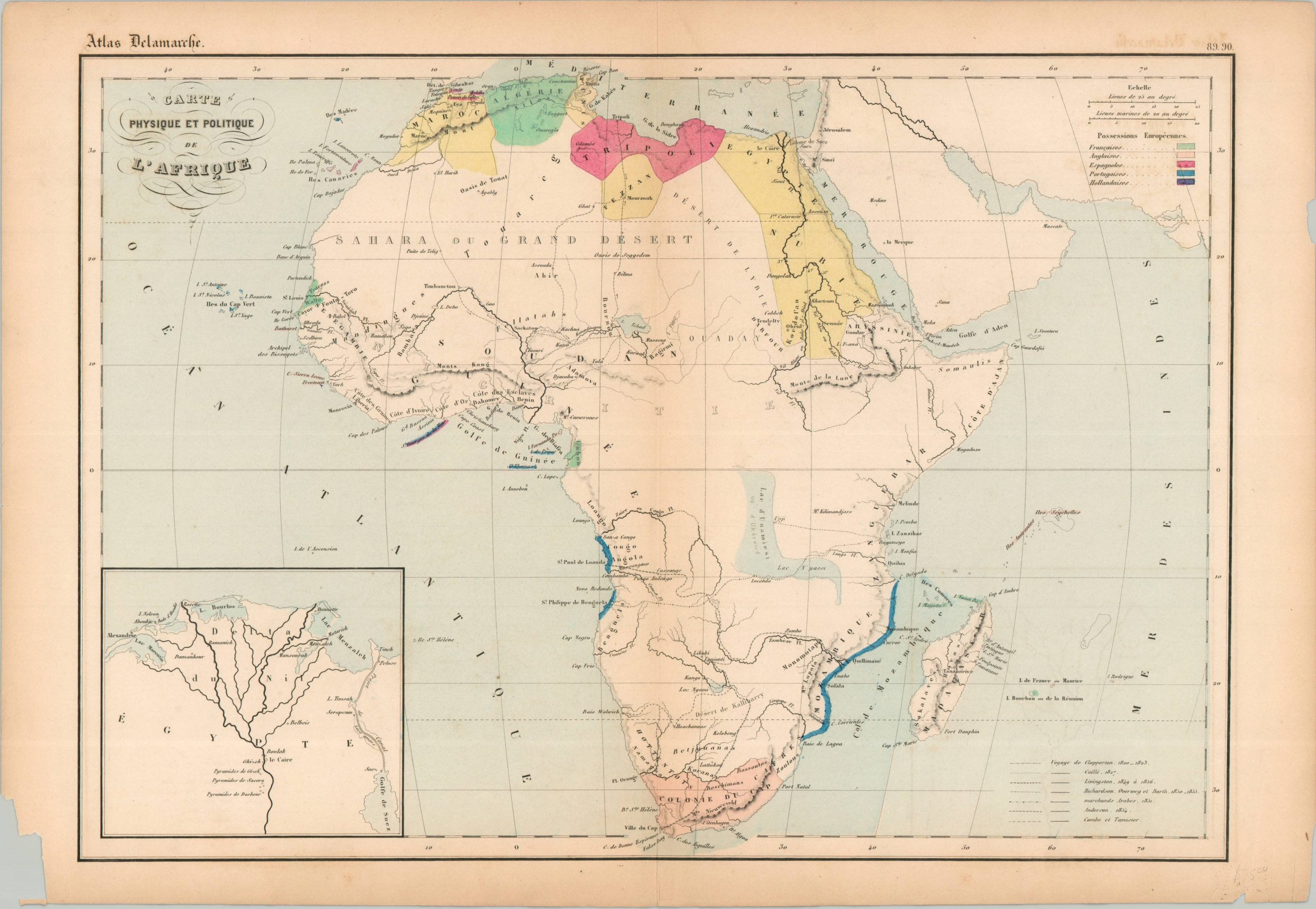
Carte Physique et Politique de L’Afrique
A surprisingly sparse French map of Africa from the mid-19th century.
Out of stock
Description
This fascinating Hand Colored map of Africa was published in Paris around 1860 by Alexandre Delamarche. Issued a few years before the Scramble for Africa, the image reflects European priorities economically confined mostly to coastal enclaves, though French, Spanish, and British influence were expanding at the northern and southern ends of the continent.
The routes of several different 19th-century explorers are noted, though vast swathes of ’empty’ areas highlight how much of Africa remained to be ‘discovered.’ Despite the relative paucity of geographic information shown, several presented details are of questionable validity; notably, the Mountains of Kong, the Mountains of the Moon, and the massive Lake Unamiesi.
Map Details
Publication Date: c. 1860
Author: Alexandre Delamarche
Sheet Width (in): 19
Sheet Height (in): 13.25
Condition: B+
Condition Description: Engraved map with original hand color on a toned and brittle sheet. Several chips and offsetting in the margins, as well as a bit of light toning along the vertical centerfold. Good condition overall. Blank on verso.
Out of stock