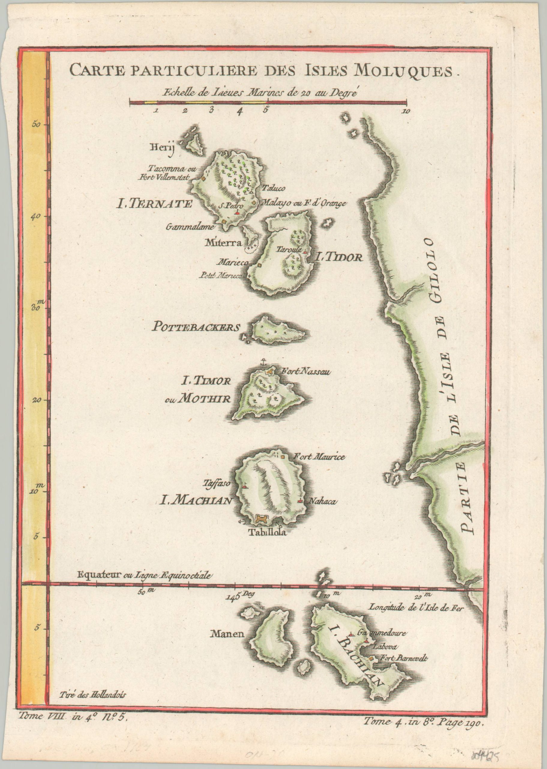
Carte Particuliere Des Isles Moluques
$60.00
Nice example of Bellin’s map of the famed Spice Islands.
1 in stock
Description
This attractive copperplate engraved map was created by Jacques Nicholas Bellin and published in Paris around 1764 as part of Abbe Prevost’s influential Histoire generale des voyages. It shows the Moluccas, an archipelago in modern-day Indonesia that was famed for its production of rare and exotic spices. The islands were one of the few places in the world capable of growing cloves, nutmeg, and mace, and were highly prized by various European powers for their economic potential.
At the time of publication, the Moluccas were controlled by the Dutch East India Company and several of their fortifications and settlements are labeled throughout. Other place names reflect native villages, sources of ongoing resistance against Dutch hegemony and often potential allies for rivals like the British and Portuguese.
Source: Princeton Library
Map Details
Publication Date: c. 1764
Author: Jacques Nicholas Bellin
Sheet Width (in): 6.6
Sheet Height (in): 9.5
Condition: A-
Condition Description: Trimmed left margin, nearly to the neatline. Some darkening from the plate strike visible in the lower margins. Lightly creased in the upper right corner. Very good with attractive hand color.
$60.00
1 in stock

