
Carte Particulere de L’Egypte, de la Nubie, et de L’Abyssinie, Dressée sur les Memoires les plus Nouveaux & les Observations les plus exactes
$250.00
French perspectives on Northwest Africa and the Middle East.
1 in stock
Description
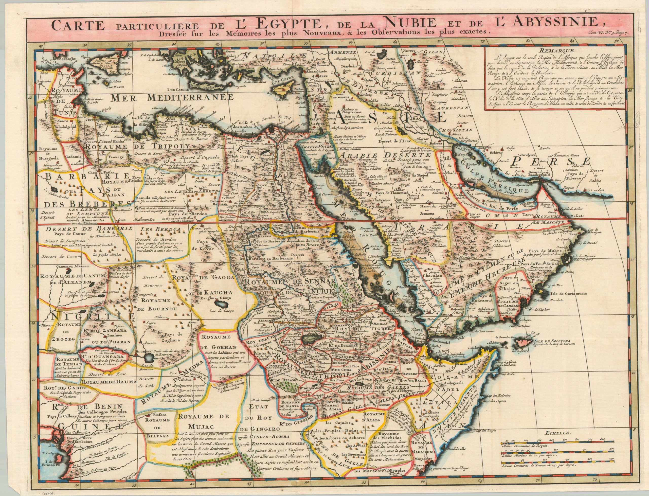
Special Map of Egypt, Nubia, and Abyssinia, Drawn up on the Most Recent Memoirs and the Most Accurate Observations – Approximate title translation.
This gorgeous antique map presents an engaging geopolitical overview of the mostly Muslim world between the eastern Mediterranean and the Persian Gulf. Kingdoms of Africa are clearly labeled and defined with borders in a European style, though the reality was far less rigid and structured. Temian, north of Benin, is noted as the home of cannibals. Toponyms identify a fascinating variety of features, from gold mines and desert oases to the pyramids and nomadic Berber tribes.
The copperplate-engraved sheet was originally published in Paris as part of Henri Abraham Chatelain’s important Atlas Historique. This monumental seven-volume set was first issued in Amsterdam between 1705 and 1720, but was reprinted until the late 1730s. The scholarly, but approachable, work was aimed at a broad audience, eager for new information during the Age of Enlightenment. The breadth of content offers a nuanced synthesis of geography, cosmography, history, religion, ethnology, and political science. The descriptive text (in French) and skillfully engraved maps, diagrams, and illustrations provide a fascinating window into the world of the early 18th century.
Map Details
Publication Date: c. 1720
Author: Henri Abraham Chatelain
Sheet Width (in): 21.5
Sheet Height (in): 16.5
Condition: A
Condition Description: Copperplate engraved map with attractive modern hand color on a strong sheet of watermarked paper. Trimmed margins and a few small spots of foxing, but overall in very good condition.
$250.00
1 in stock