
Carte Geographique, Statistique et Historique de L’Illinois
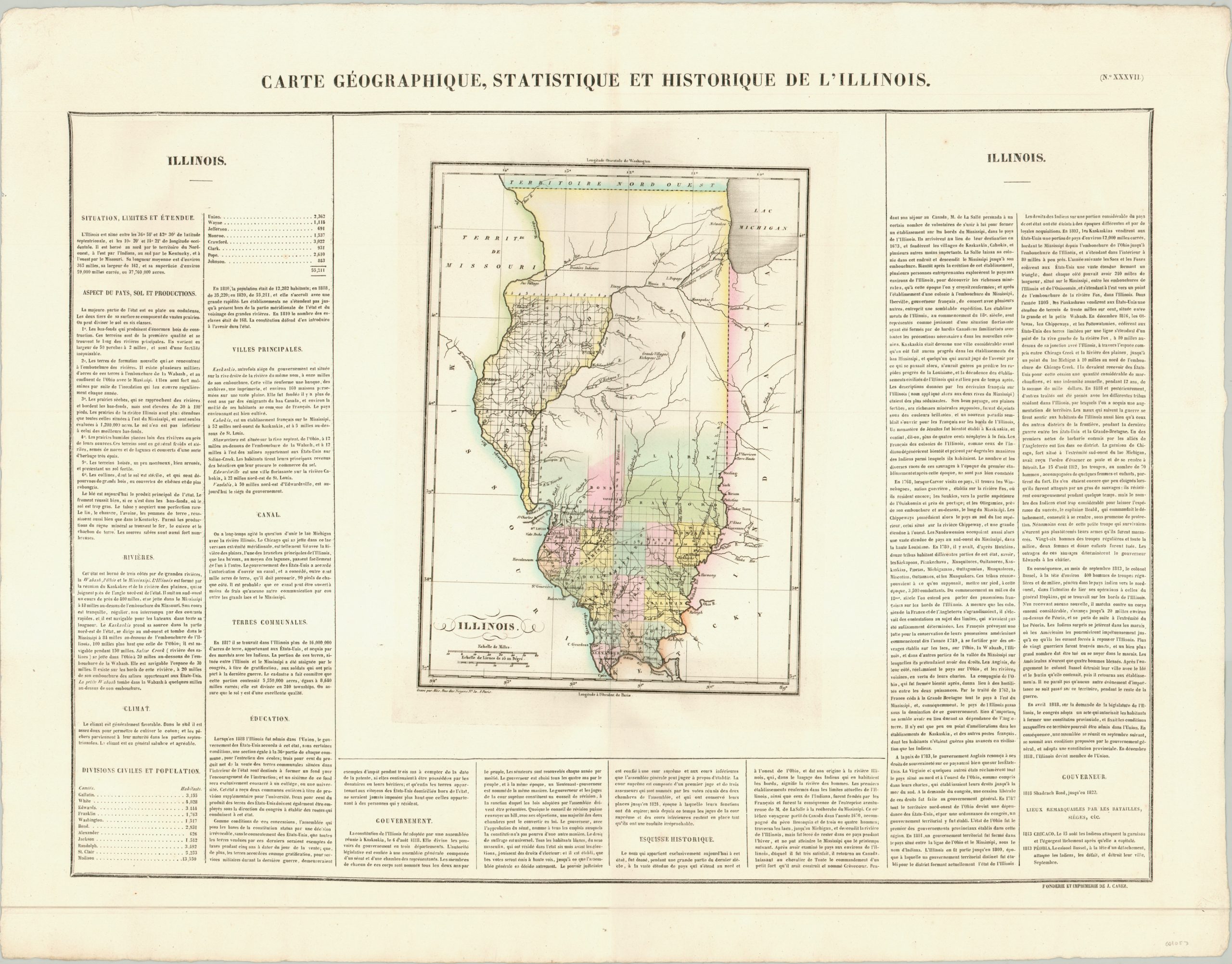
A French look at the sparsely populated state of Illinois in 1825.
Out of stock
Description
This early map of Illinois was published in Jean Alexandre Buchon’s Atlas Geographique, Statistique, Historique et Chronologique; the French edition of Carey & Lea’s atlas of the United States. It shows the state’s slow process of settlement as it moves gradually from south to north and includes an interesting mix of frontier detail from the first quarter of the 19th century.
The surveyed area in the eastern portion of the state (north of the Illinois River) were bounty lands set aside as payment for volunteers from the War of 1812. Native American treaty lines, notably the portage near Chicago, are shown in addition to indigenous villages, forts, post roads and scattered towns. At the time of publication, Chicago was still a backwater and home only to a handful of traders and their families, along with the rebuilt Fort Dearborn, which had been destroyed by Potawatomi during the War of 1812. Surrounding the map are columns of dense text which describe the geography, history, political organization and culture of Illinois.
Map Details
Publication Date: 1825
Author: Jean Alexandre Buchon
Sheet Width (in): 27.00
Sheet Height (in): 21.20
Condition: A
Condition Description: The map in the center of the sheet is somewhat misaligned, but overall is in excellent condition with original hand color on a thick, sturdy sheet.
Out of stock