
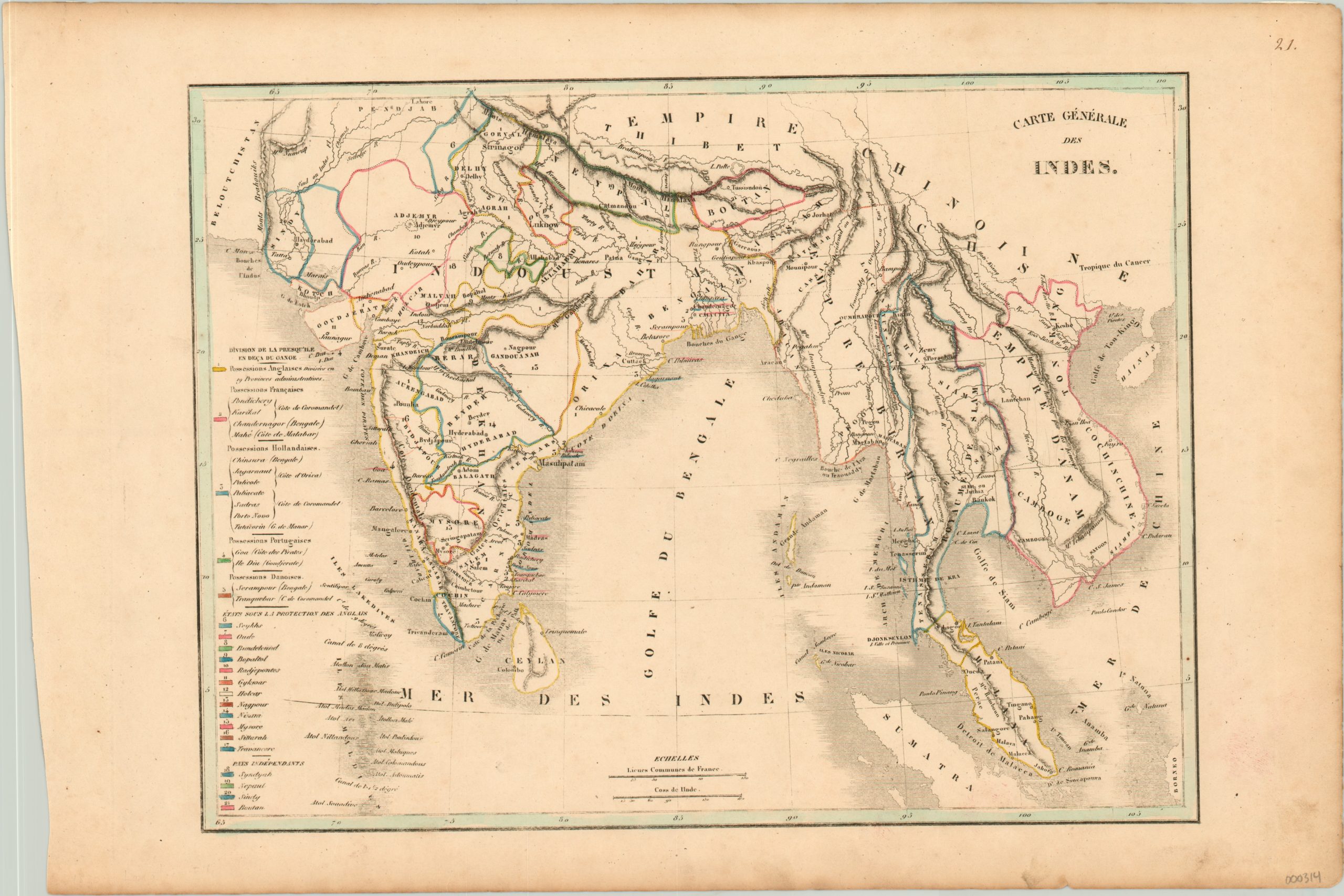
Carte Generale des Indes
$150.00
Hand colored lithograph of India, Burma, Thailand, Cambodia and Vietnam showing regional European colonial possessions.
1 in stock
Description
This French publication shows the political status of numerous states throughout the Indian Ocean region, using color to show the complex nature of colonial relationships. English, French, Dutch, Portuguese and Danish colonies are colored, while British protectorates (through the authority of the British East India Company) are labeled individually. Only four independent countries are listed.
Map Details
Publication Date: 1830
Author: Langlais Fils
Sheet Width (in): 18
Sheet Height (in): 12
Condition: A-
Condition Description: The map is in very good condition, with some soiling consistent with age.
$150.00
1 in stock