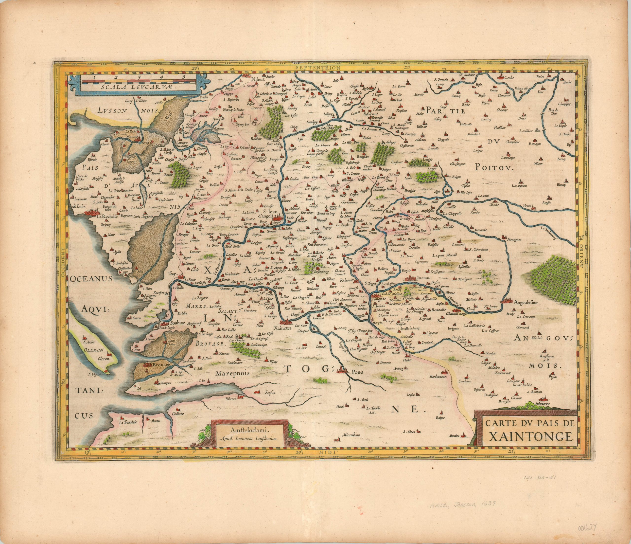
Carte du Pais de Xaintonge
$200.00
17th century French map of a region known for its cognac grapes and medieval pottery.
1 in stock
Description
Xaintonge (also spelled Saintonge) is a historic province in the southwestern corner of France, bordering the Atlantic Ocean. Although its political organization is no longer recognized today, in the mid-17th century (at the time of this map’s publication), the region was an important producer of pottery and grapes.
The map includes the important coastal city of La Rochelle, Saintes (Xaintes), Pons, and of course, Cognac. Today, the region is primarily found within the French department of Charente-Maritime.
Published in Amsterdam by Jan Jansson in 1639.
Map Details
Publication Date: 1639
Author: Jan Jansson
Sheet Width (in): 23.25
Sheet Height (in): 20.00
Condition: A-
Condition Description: The sheet is slightly toned, consistent with age, and features a slightly darkened image from the impression of the plate. Near fine condition, with nice hand color.
$200.00
1 in stock

