
Carte du Gouvernement Civil de France
$95.00
Map of the Civil Government of France – Approximate Title Translation
1 in stock
Description
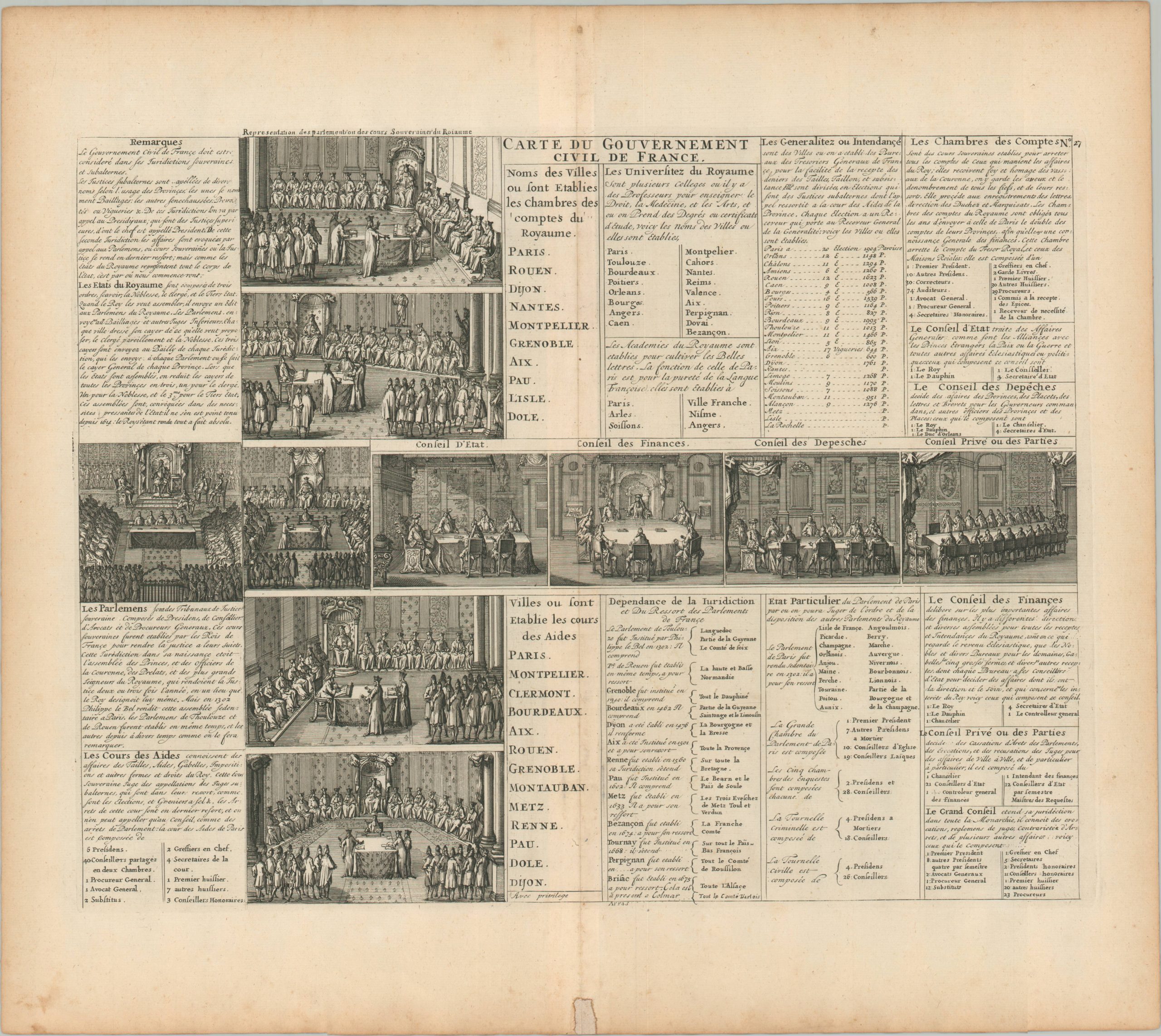
Ten lavish scenes showcase the complex system of political bodies that comprised the French Ancien régime. The copperplate-engraved sheet was originally published in Paris as part of Henri Abraham Chatelain’s important Atlas Historique. This monumental seven-volume set was first issued in Amsterdam between 1705 and 1720, but was re-printed in numerous in several subsequent editions until the late 1730s. The scholarly, but approachable, work was aimed at a broad audience, eager for new information during the Age of Enlightenment. The breadth of content offers a nuanced synthesis of geography, cosmography, history, religion, ethnology, and political science. The descriptive text (in French) and skillfully engraved maps, diagrams, and illustrations provide a fascinating window into the world of the early 18th century.
Map Details
Publication Date: c. 1710
Author: Henri Abraham Chatelain
Sheet Width (in): 19.6
Sheet Height (in): 17.4
Condition: B+
Condition Description: Spotting and separation along the vertical centerfold, the latter of which shows old repairs. Two tiny spots of worming also along centerfold. Soiling and spotting in the margins.
$95.00
1 in stock