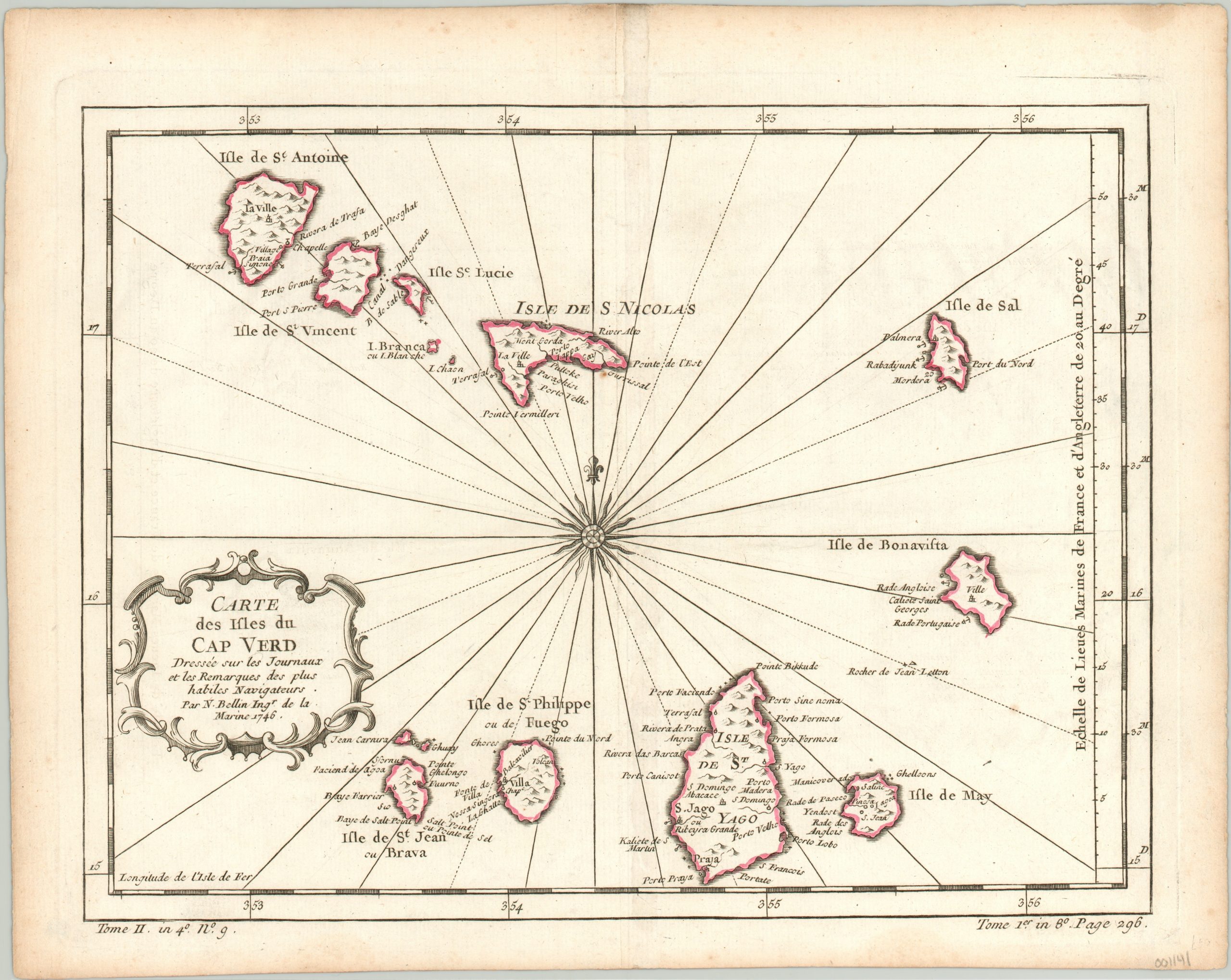
Carte des Ilses du Cape Verd
$55.00
Lovely copperplate engraving of the Cape Verde islands.
1 in stock
Description
This is a lovely map of the Cape Verde Islands; an archipelago comprised of 10 main islands situated approximately 400 miles off the coast of Senegal. The chain was uninhabited until the 15th century, when it was occupied by the Portuguese as an important stopover for maritime exploration and the trans-Atlantic trade. Each island is outlined in hand-applied color while towns, ports, and other locations of interest are labeled individually.
Published by Jacques Nicholas Bellin in 1746 for inclusion in Abbe Prevost d’Exiles’ important book, Histoire generale des voyages.
Map Details
Publication Date: 1746
Author: Jacques Nicholas Bellin
Sheet Width (in): 12.75
Sheet Height (in): 10
Condition: A-
Condition Description: Minor wear along centerfold and faint discoloration along the outer edges.
$55.00
1 in stock

