
Carte des Decouvertes faites dans les Regions Arctiques en 1829, 30, 31, 32, 33
$200.00
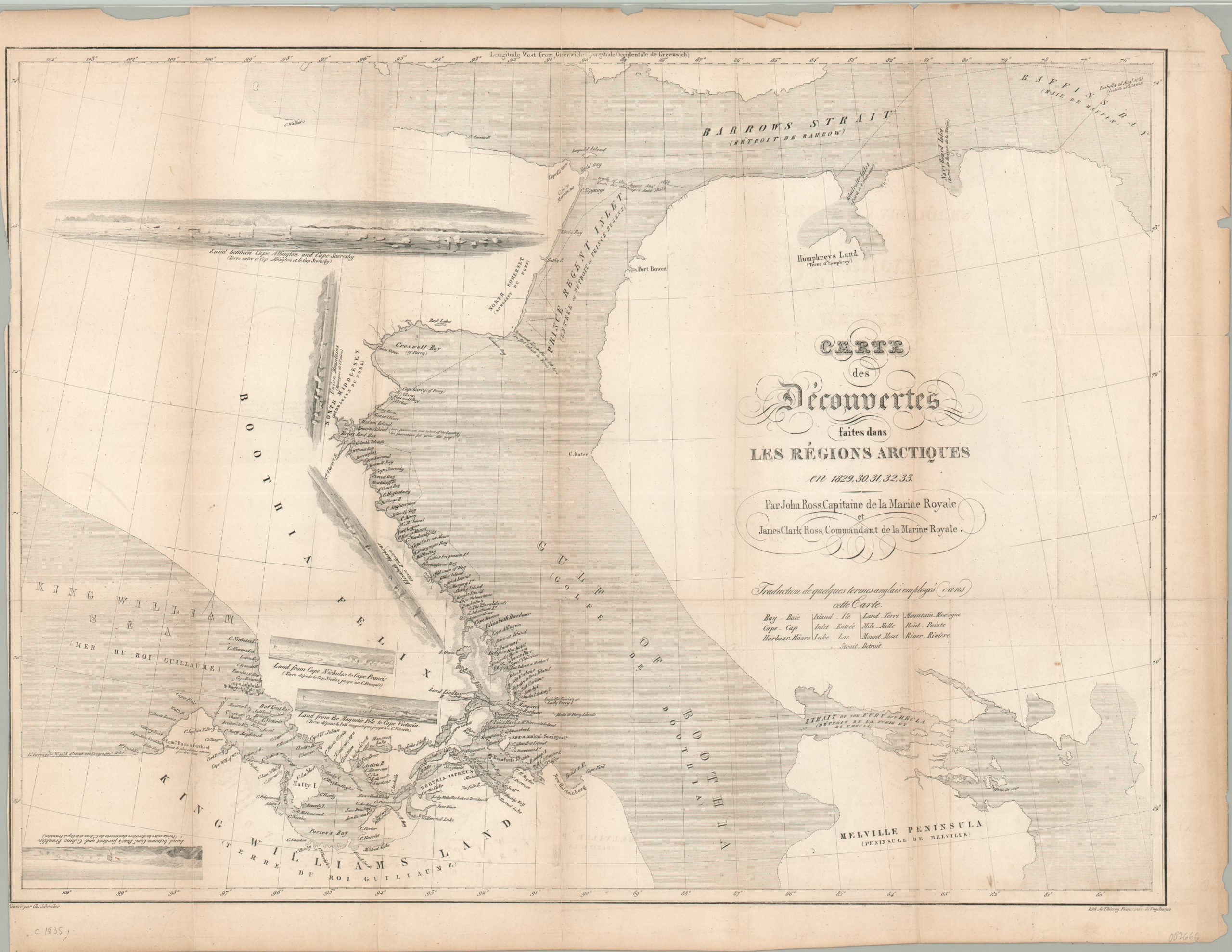
A scarce map of the discoveries made by the Second Arctic Expedition led by John Ross.
1 in stock
Description
The second Arctic expedition of John Ross departed from England in 1829 and would ultimately last nearly four years. During that period, extensive discoveries were made throughout the northern polar region, with Ross expanding upon his earlier findings through Baffin Bay and the Gulf of Boothia. These included a new strait (eventually to be named the John Ross Strait) into the King William Sea.
Of particular interest are the Clarence Islands, seen near the western end of the strait and close to the furthest point reached by Ross’s party. This small island group was originally sighted by James Ross (the captain’s nephew), named the ‘Beaufort Islands’ and only consisted of three confirmed landmasses. However, after returning to England, the newly knighted John Ross wanted to impress King William IV (formerly the Duke of Clarence), so he renamed the archipelago and added a number of fictional islands.
This map, engraved by Charles Schreiber and lithographed by Thierry Freres in Paris around 1835, reflects these changes as seen in the lower left. The image also includes a number of coastal profile views, as well as the tracks of the exploring party. Some of the travel was done overland – as the Victory was caught in the icepack on a number of occasions during the long voyage.
Map Details
Publication Date: c. 1835
Author: Thierry Freres
Sheet Width (in): 24.6
Sheet Height (in): 18.75
Condition: B
Condition Description: Trimmed margins on the left side of the sheet and moderate visible in the other three sides. Discoloration and light creasing along four vertical fold lines. Remains in good condition overall.
$200.00
1 in stock