
Carte des Champs de Bataille de Verdun
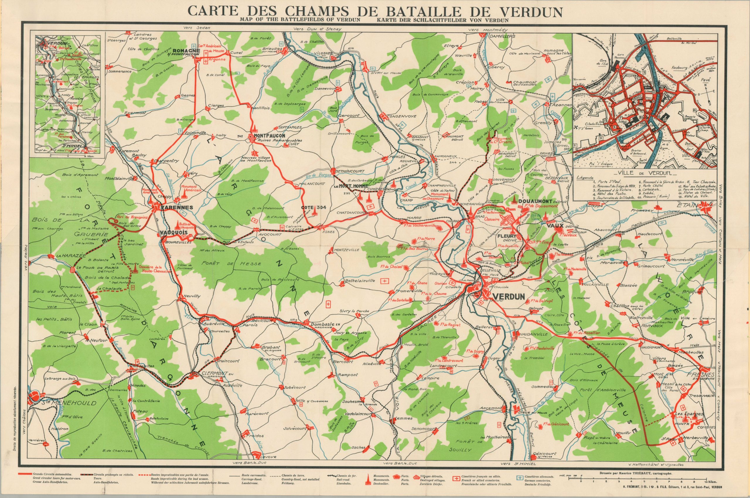
Tourist map of the Battlefield of Verdun from the Interwar Period.
Out of stock
Description
This map of the WWI battlefields around Verdun was designed by Maurice Thiebaut and published locally around 1930 by H. Fremont & Fils. Presented in three languages (French, German, and English), the plan was aimed at the growing audience of ‘war tourists’ visiting the hilly and heavily fortified region in northwestern France. Destroyed villages, forts, monuments, and cemeteries are noted according to the legend at the bottom of the sheet. The last are divided into those for the French and Allies (red) and the Germans (blue).
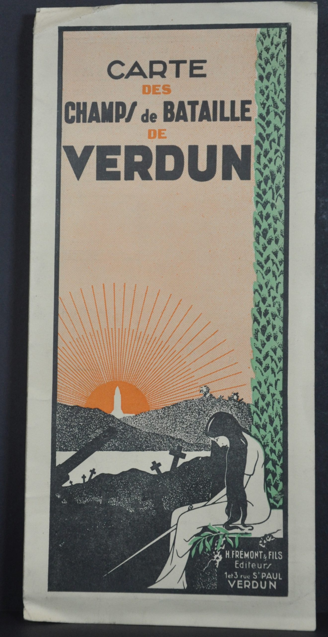
The local transportation network is also highlighted, with an emphasis on automobile accessibility. An inset in the upper right presents a large-scale city plan of the village of Verdun. Advertisements for hotels and other guest amenities can be seen on the covers, contrasting somewhat with the moving welcome to ‘French [and] Foreign Visitors,’ an excerpt of which reads:
“However painful it may be, such a spectacle is worth seeing. To you, Frenchmen, it will remind you that in Verdun was written one of the most glorious pages, but also the bloodiest of your long history. To you, visitors of all nations and our guests, one day it will inspire you with the horrors of war and lead you to the ardent desire for peace between Peoples!”
Battlefield ‘tourism’ in the area around Verdun likely began shortly after the dust cleared from the devastating 9-month engagement in 1916. Intrepid French villagers would have picked through the detritus while journalists reported on the destruction and aftermath of the battle – one of the longest and costliest in human history. The number of visitors increased dramatically after the conclusion of the war, leading to an important local industry that persists to this day.
WorldCat notes 6 entries, only one of which is in the United States (UCLA). An additional example has been identified at SMU. The map is undated and references vary from 1920 to 1931. I’m inclined toward the latter end of the decade, since the front cover, in impactful Art Deco style, shows the distinctive outline of the Douaumont Ossuary, completed in 1932. OCLC# 962492790. An example at SMU available here.
Map Details
Publication Date: c. 1930
Author: Maurice Thiebaut
Sheet Width (in): 33.5
Sheet Height (in): 24.5
Condition: A-
Condition Description: Folded into 14 segments and affixed to two separate folding paper covers. A large irregular closed tear, about 7" long, in the lower right. Repaired on verso with archival tape. Minor wear elsewhere, including creased corners, rubbed edges, faint scattered soiling, and small spots of separation at fold intersections. Good condition overall. Blank on verso.
Out of stock