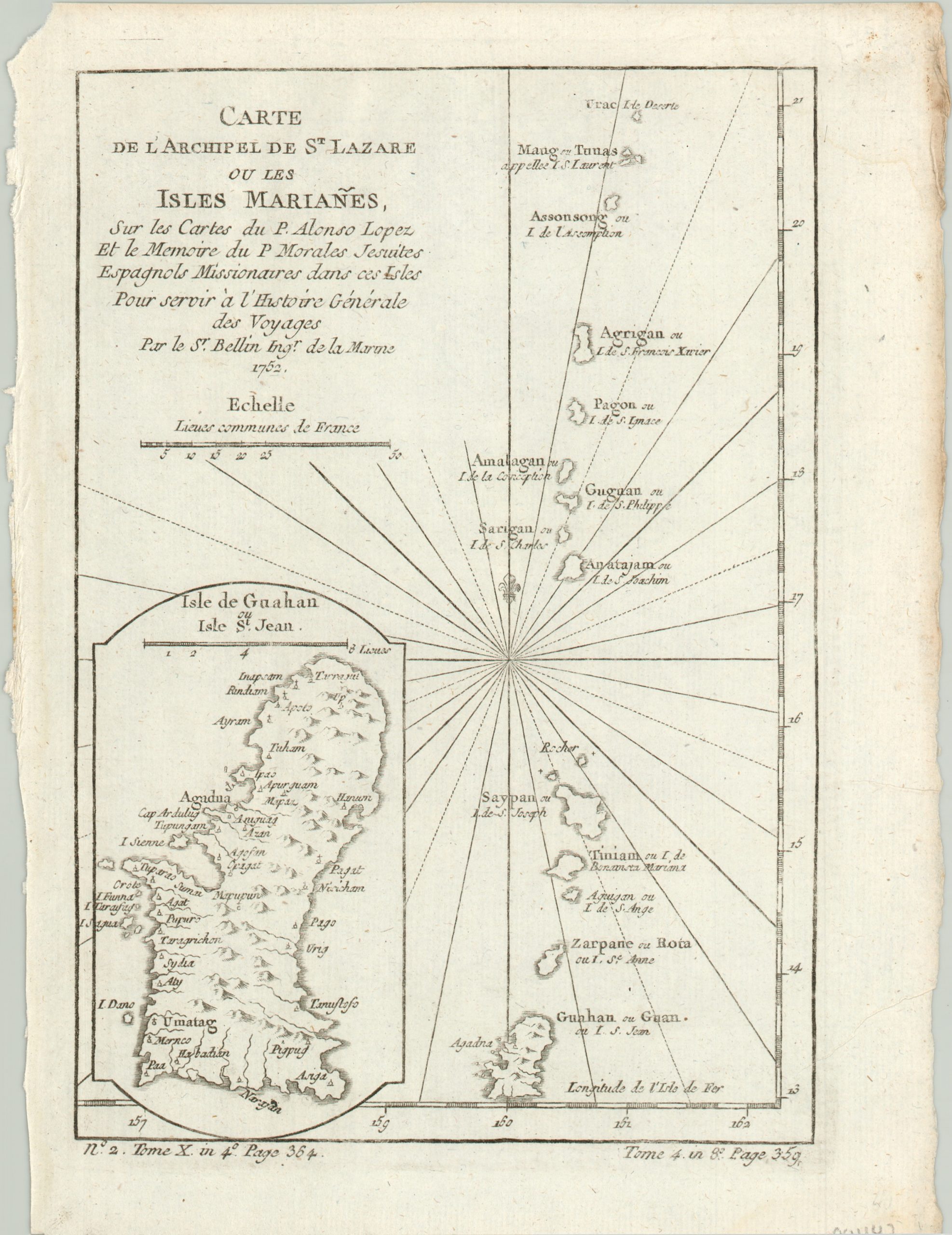
Carte de L’Archipel de St. Lazare ou les Isles Marianes
Bellin’s map of the Marianas Islands, including an inset map of Guam.
Out of stock
Description
This is a lovely map of the Marianas Islands, an archipelago of fifteen islands situated in the North Pacific Ocean. The title alludes to the archipelago of St. Lazarus, which is actually a historical name given by Magellan to the Philippines, which lie just west of the Marianas.
The map shows the island chain from Urac in the north to Guam in the south and includes both European and native names for each island. A detailed inset map of Guam, or the Isle of Saint Jean, is provided in the lower left.
Published by Jacques Nicholas Bellin in 1752 for inclusion in Abbe Prevost d’Exiles’ important book, Histoire generale des voyages.
Map Details
Publication Date: 1752
Author: Jacques Nicholas Bellin
Sheet Width (in): 7.5
Sheet Height (in): 10.1
Condition: A-
Condition Description: Wear around the outer edges and a somewhat faint impression on a bright, clean sheet.
Out of stock

