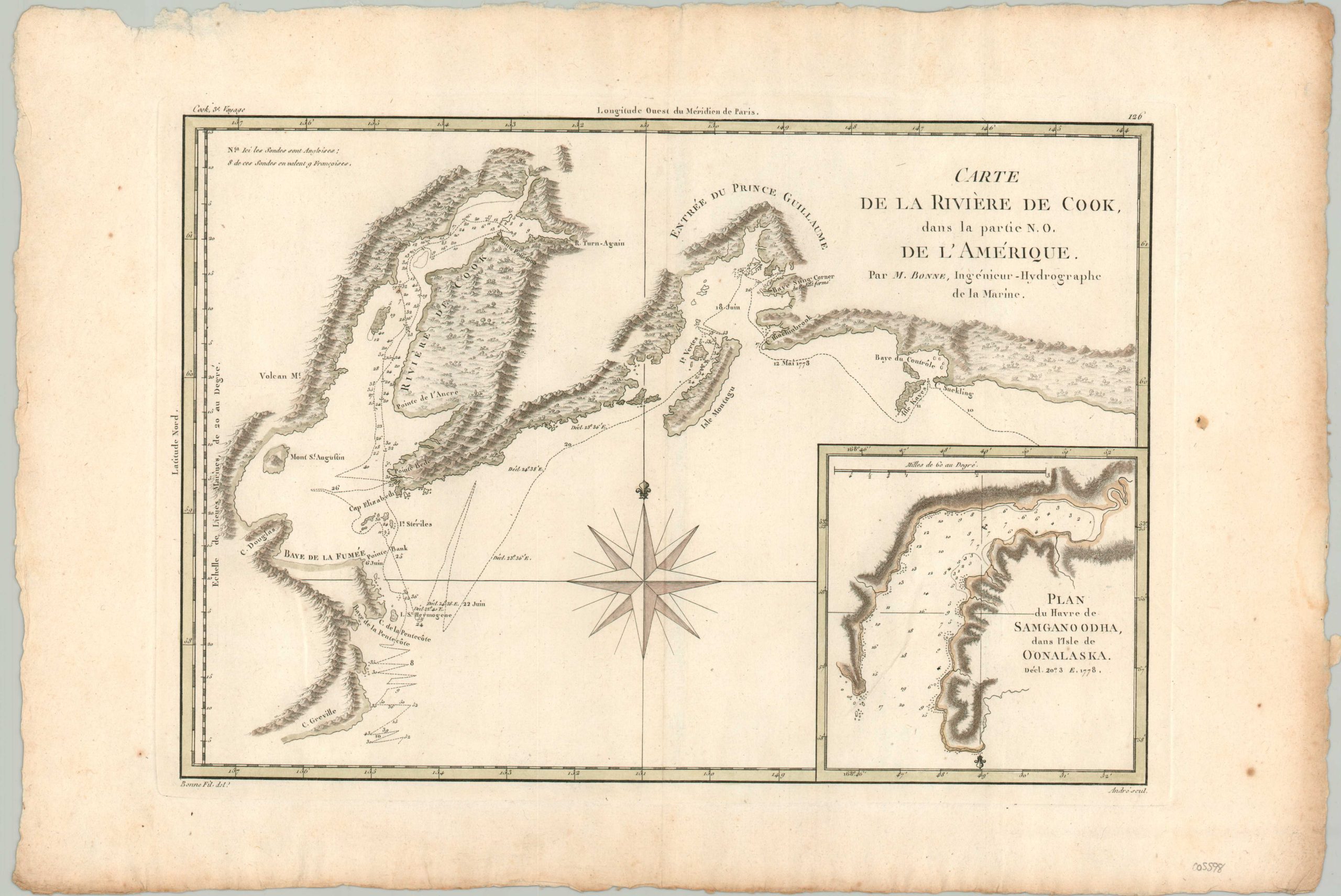
Carte de la Riviere de Cook
$110.00
A French map of Cook’s journey through Prince William Sound.
1 in stock
Description
This fine copperplate engraved map shows the route taken by Captain James Cook aboard the H.M.S. Resolution during his incredible (and last) third voyage.
A portion of the coastline of southern Alaska around Prince William Sound was mapped by Europeans for the first time, exhibited here in a French edition published by Rigobert Bonne as part of the Atlas Encyclopedique around 1787.
Map Details
Publication Date: c. 1787
Author: Rigobert Bonne
Sheet Width (in): 18.25
Sheet Height (in): 12.25
Condition: A-
Condition Description: Printed on laid watermarked paper with ample margins. A few spots along the right edge and soft creasing along vertical centerfold. Original outline color is somewhat faded. Good to very good condition overall.
$110.00
1 in stock

