
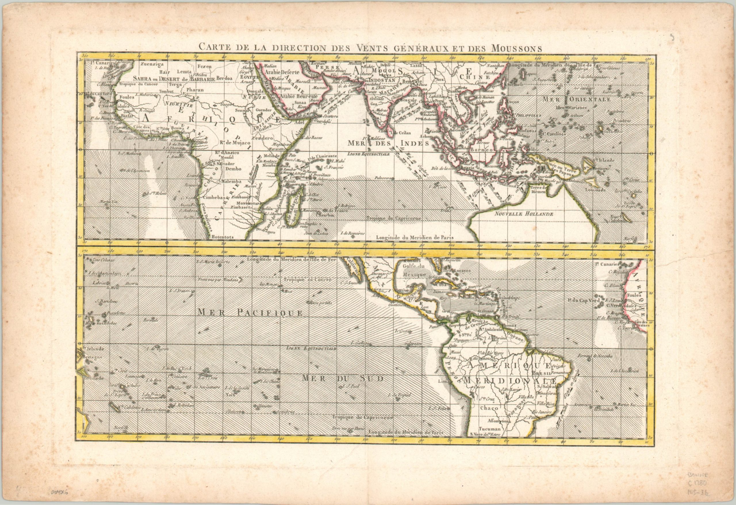
Carte de la Direction des Vents Generaux et des Moussons
$110.00
Global wind patterns during the late 18th century.
1 in stock
Description
This ‘map of the general direction of the winds and monsoons’ was created by Rigobert Bonne and published in Paris around 1780. The image is split into two panels, each of which uses lines and arrows to represent the wind directions north of the Tropic of Capricorn. A few instances denote seasonal variations.
The upper map shows Africa, southern Asia, and northern Australia, while the lower map shows Central and South America, West Africa, and the South Pacific (after Cook). Numerous islands are labeled, though the veracity of some, like the Isle de Sebastian Lopez, continues to be debated. An interesting and visual representation of the primary means of overseas conveyance for about another century.
Map Details
Publication Date: c. 1780
Author: Rigobert Bonnes
Sheet Width (in): 15.75
Sheet Height (in): 10.75
Condition: B+
Condition Description: Scattered spotting visible in the outer margins, though only a few small spots within the image. A hard crease in the sheet runs diagonally from the right center into the lower third of the page. Remains in good to very good condition overall and issued on thick paper with attractive outline color.
$110.00
1 in stock