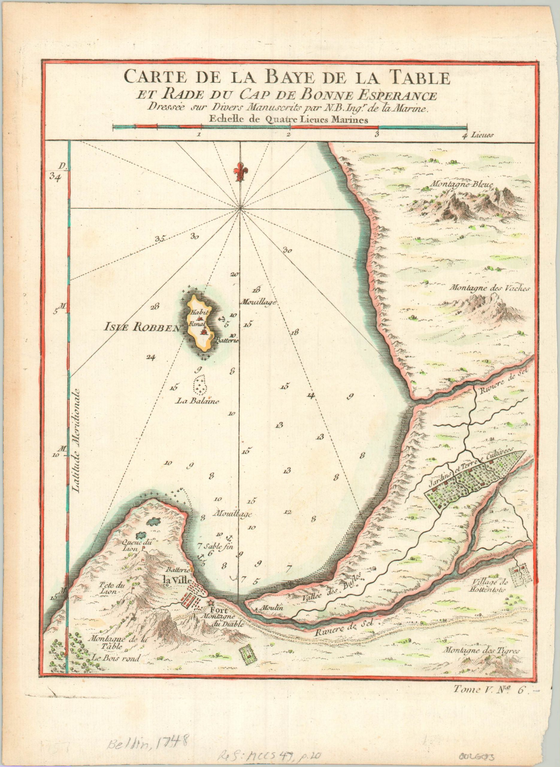
Carte de la Baye de la Table et Rade du Cap de Bonne Esperance
$100.00
An early French map of the Dutch Cape Colony in South Africa.
1 in stock
Description
This lovely little map of Table Bay in South Africa was published in 1748 by Jacques Nicholas Bellin as part of “Le Petit Atlas Maritime Recueil de Cartes et de Plans des Quatre Parties du Monde.” The image provides a vibrant sense of the region’s rugged topography, and depicts Table Mountain and the Lion’s Head in a somewhat stylistic manner.
The city (what would become Cape Town), fort, and cultivated gardens, and structures on nearby Robben Island (the infamous home of Nelson Mandela’s apartheid-era prison) are all also illustrated and individually labeled.
Map Details
Publication Date: 1748
Author: Jacques Nicholas Bellin
Sheet Width (in): 7.30
Sheet Height (in): 10.00
Condition: A-
Condition Description: Slight toning visible in the margins and a small tear in the lower right corner, well away from the image. Very good overall, with attractive hand color.
$100.00
1 in stock

