
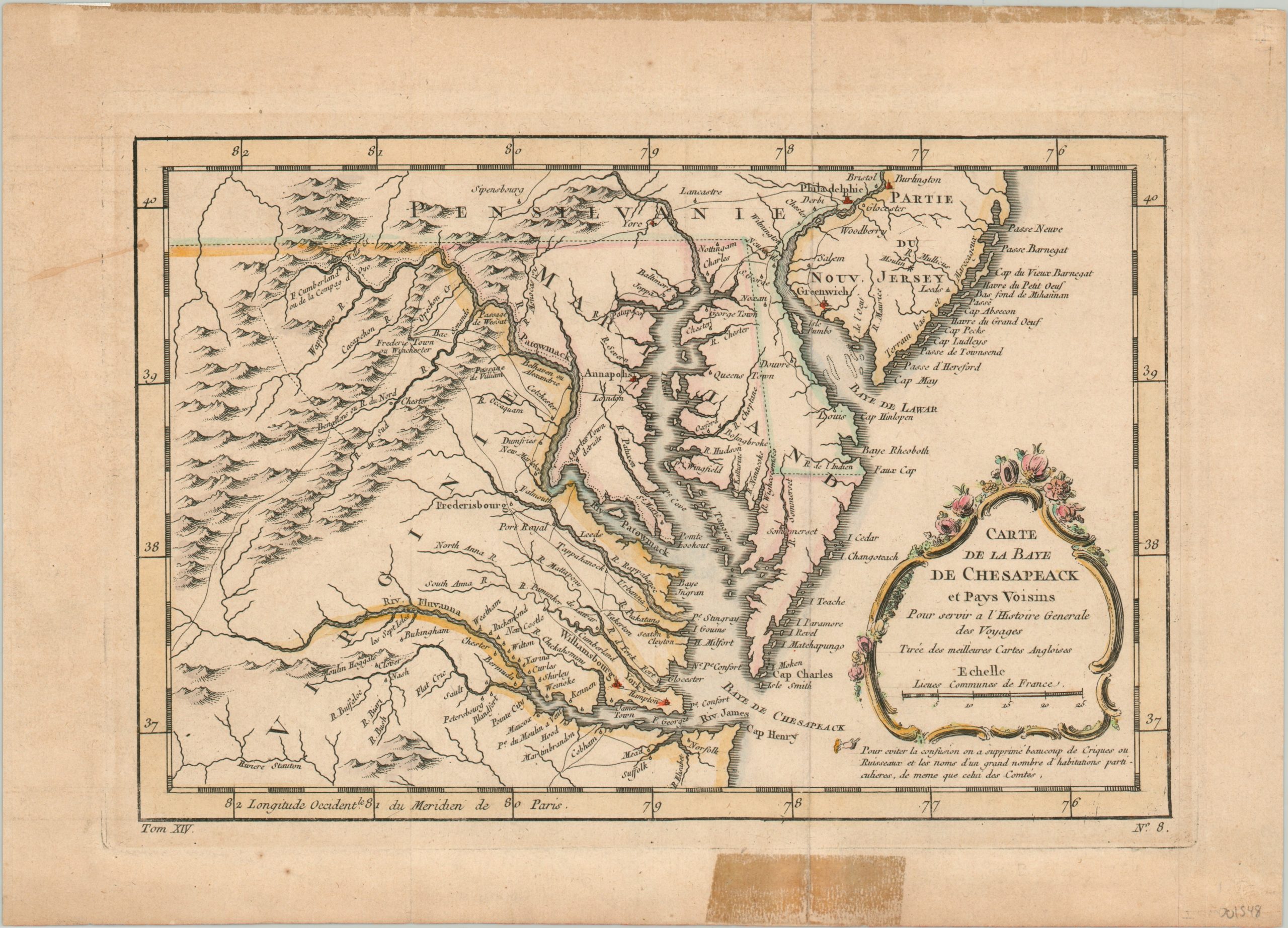
Carte de la Baye de Chesapeack et Pays Voisin
Original price was: $275.00.$225.00Current price is: $225.00.
First edition of Bellin’s map of the Chesapeake Bay and surrounding area.
1 in stock
Description
This lovely copperplate engraved map shows portions of the English colonies of Pennsylvania, Virginia, Maryland and New Jersey. Delaware is absent, as it was still organized as part of Pennsylvania until the outbreak of the American Revolutionary War less than a decade after publication. T
owns and settlements are shown concentrated along the shores of the Chesapeake and Delaware Bays and their numerous navigable river branches. A few roads are noted, but much of the local transportation was facilitated by water.
The map was published by Jacques Nicholas Bellin in 1757 for inclusion in Prevost’s influential publication, Histories des Voyages, as noted in the cartouche. To add authority, text also explains that the image was created using the best English maps available. This is the first edition of the map, identifiable by a small hand pointing to a further annotation immediately below the cartouche.
Map Details
Publication Date: 1757
Author: Jacques Nicholas Bellin
Sheet Width (in): 14.00
Sheet Height (in): 10.00
Condition: B
Condition Description: Old tape repairs have left an unwelcome discoloration in the upper and lower margins, and there is some wear along a vertical fold line. The sheet is slightly toned, consistent with age. The image remains in very good condition, with lovely hand color.
Original price was: $275.00.$225.00Current price is: $225.00.
1 in stock