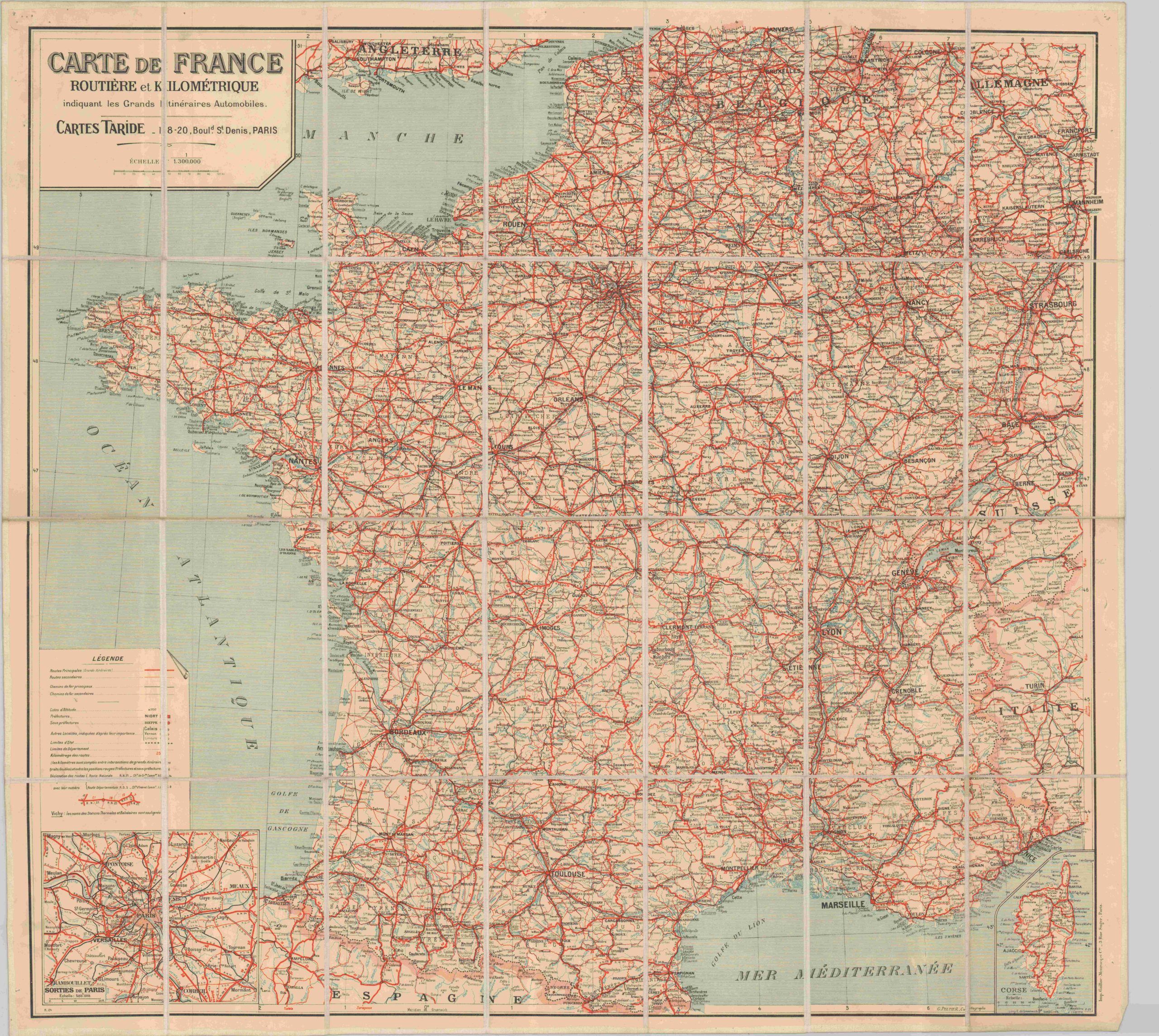
Carte de France Routiere et Kilometrique
$150.00
Early road map of France published shortly after WWI.
Description
This foldout map of France shows the primary and secondary routes of automobile (and cycling) navigation throughout the country, shortly after the end of WWI saw the repatriation of Alsace & Lorraine. State boundaries are not the only symbols labeled in the key. Route numbers are provided for each road, along with typeface corresponding to city size and other information, like altitude, that may be of use to a traveler. Inset maps of Paris and Corsica are also present.
Although this peacetime publication is ostensibly a tool of leisure and recreation, commercially published maps that were readily available such as this one made for easy intelligence gathering and strategic planning by the Germans. Tour guides, like Baedeker’s, were also popular sources of such information.
Map Details
Publication Date: c. 1925
Author: G. Peltier
Sheet Width (in): 34.50
Sheet Height (in): 31.50
Condition: B+
Condition Description: Some minor soiling, waviness on a few panels and pinholes in the corner margins are the only visible defects. Otherwise very good.
$150.00

