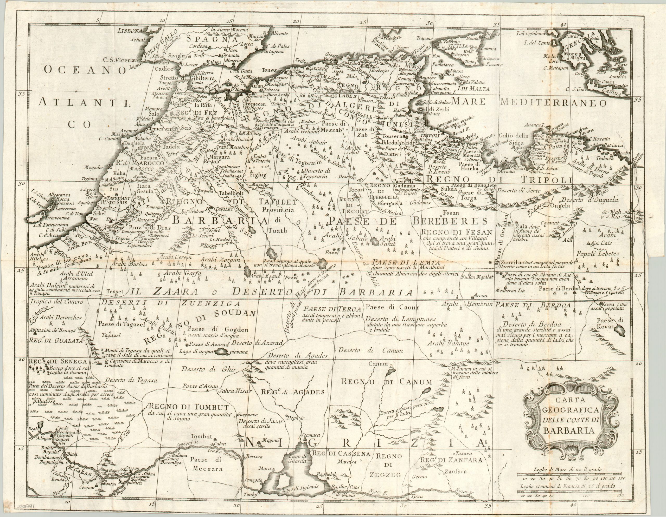
Carta Geografica delle Coste di Barbaria
Interesting Italian map of North Africa and the Sahara Desert.
Out of stock
Description
This detailed copperplate map of North Africa was published c. 1740 in Giambattista Albrizzi’s Atlas Novissimo. It covers the area historically known as The Maghreb, or Barbary: the predominantly Muslim region along the coast of the Mediterranean that penetrates deep into the heart of the continent. The area translates to today’s modern Algeria, Libya, Mauritania, Morocco and Tunisia.
Because of the remote terrain and unforgiving climate, the details present within the interior of the image are largely spurious and based on second hand accounts from travelers and merchants. However, interesting bits of information such as deserts rife with thieves, powerful and rich kingdoms, and underground lakes provide fascinating contemporary historical context on the region.
Map Details
Publication Date: 1740
Author: Giambattista Albrizzi
Sheet Width (in): 17.50
Sheet Height (in): 13.50
Condition: B
Condition Description: A clean imprint on bright paper. Fold lines, as issued, several of which show moderate discoloration. Narrow right and lower margins, with a 3 inch tear along the right side that has been repaired on the verso.
Out of stock

