
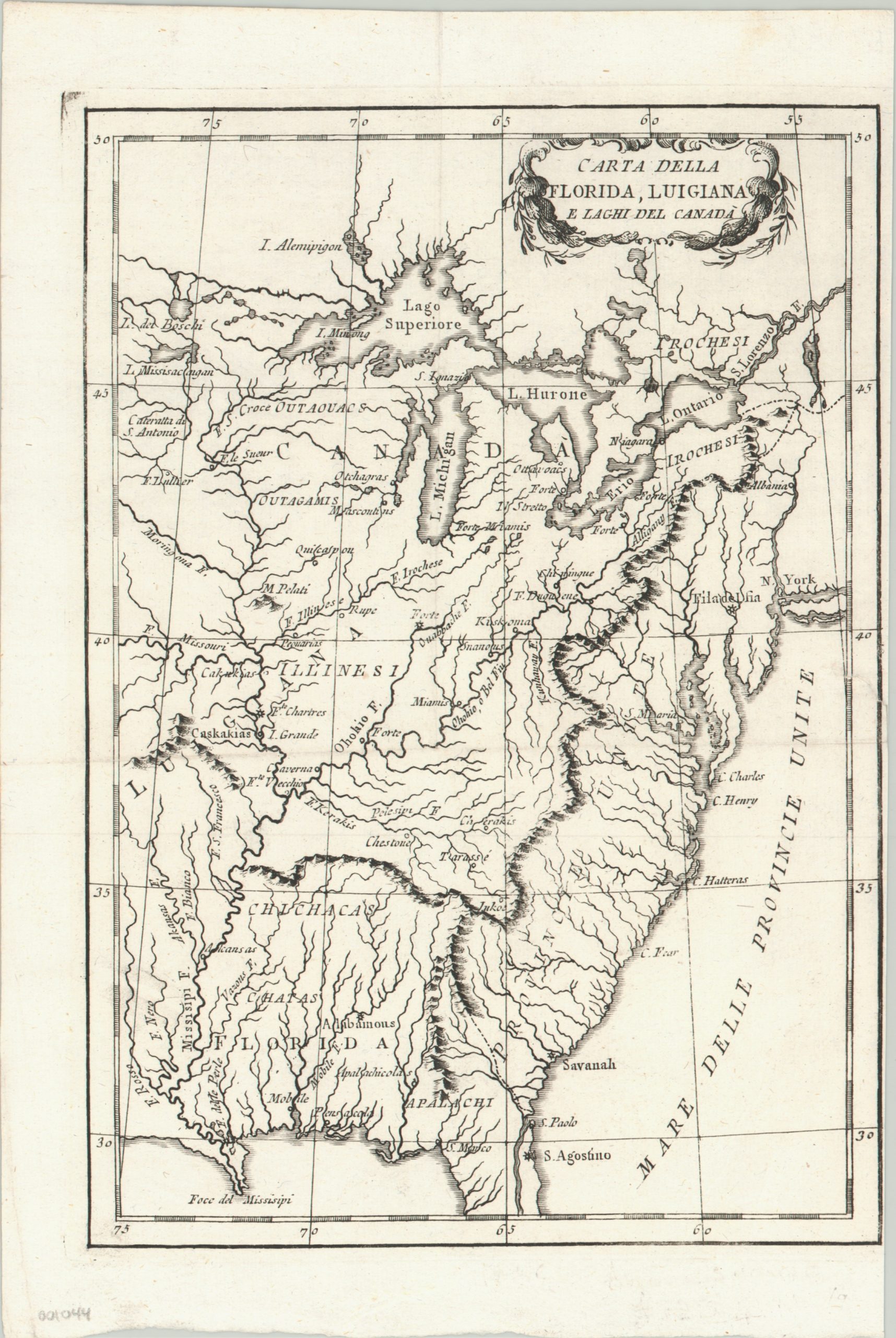
Carta Della Florida, Luigiana e Laghi del Canada.
$200.00
Uncommon Italian map issued during the American Revolutionary War.
1 in stock
Description
The “Province Unite” seen on the eastern side of the Appalachians reflects the newly proclaimed “United States” that had either just won, or were in the midst of fighting for, their independence at the time this map was published.
The image shows exaggerated mountain ranges and river systems, labels numerous European and Native American settlements, and identifies several forts that played important roles during the conflict. This fantastic look at early America was designed by Jean-Francois La Harpe for the Italian version of his book, Compendio della Storia Generale de’ Viaggi Opera.
Map Details
Publication Date: c. 1780
Author: Jean-Francois La Harpe
Sheet Width (in): 7.50
Sheet Height (in): 11.20
Condition: A
Condition Description: The map is in excellent condition. The right margin is narrowed nearly to the neatline, and there are a few ceases along fold lines. Overall a bold impression on clean, strong paper.
$200.00
1 in stock