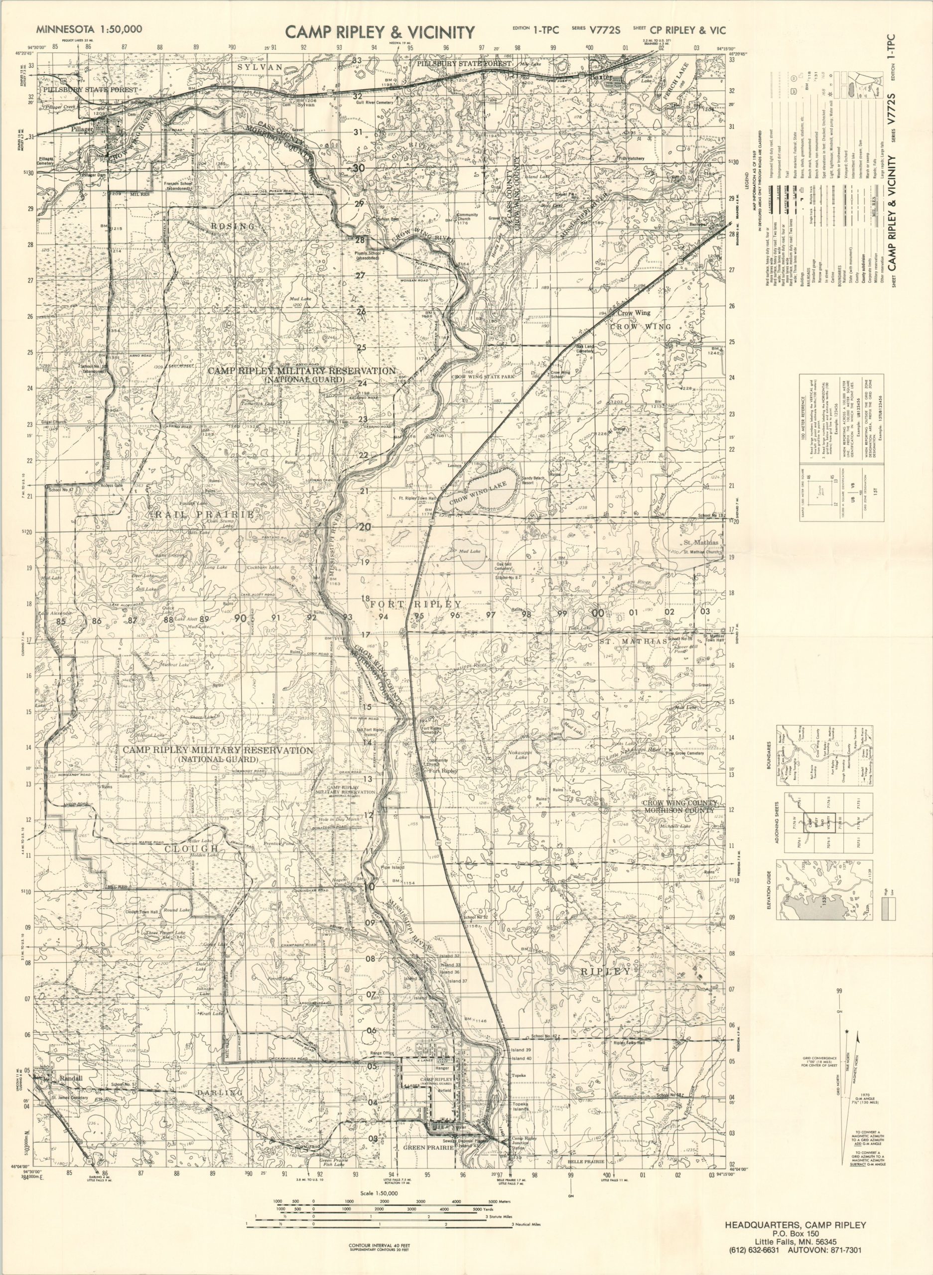
Cantonment Area Camp Ripley Little Falls Minnesota
Double-sided map of Camp Ripley, located in Little Falls, Minnesota.
Out of stock
Description
This Cold War-era map of Camp Ripley in Minnesota was published by the Department of Military Affairs in 1981.
One side shows a ground plan of the military garrison, home to part of the Minnesota National Guard. Dozens of buildings are numbered and identified in the reference in the lower left, while the legend in the upper right shows the symbols used to denote various structures across the camp.
The verso shows a topographic map of the area around Little Falls in central Minnesota.
Map Details
Publication Date: 1981
Author: Camp Ridley Office of the Architect and Engineer
Sheet Width (in): 20.50
Sheet Height (in): 27.50
Condition: A-
Condition Description: Double sided and printed on thick, treated glossy paper. Minor wear along fold lines and extraneous creasing in a few places.
Out of stock


