Canadian National Railways
$85.00
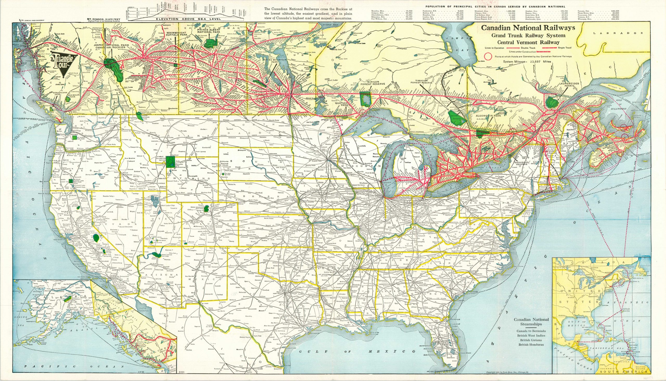
Large promotional folding map of the Canadian National Railway System.
1 in stock
Description
This map of Canada and the United States was aimed at American tourists and riders aboard the Grand Trunk Railway. Published by the Poole Brothers in Chicago, it highlights Canada’s cross country rail routes in bold red lines, showing both those in operation and under construction.
An inset map in the lower left continues the coverage into British Columbia and Alaska, while a second inset in the lower right shows the routes served by the Canadian National Steamships. The latter shows several steamer lines serving British colonies in the Caribbean and South America – presumably in case travelers were looking to get away somewhere just a bit warmer.
Map Details
Publication Date: 1936
Author: Poole Brothers
Sheet Width (in): 32
Sheet Height (in): 18.4
Condition: A-
Condition Description: Originally folded into a 16 panel brochure. Creasing and minor wear along fold lines, including small pinholes at fold intersections. Three small spots of offsetting along the upper margin. Some abrasion visible along the far left edge of the image, but the map remains in very good condition overall.
$85.00
1 in stock