
California’s Mission Trails
$200.00
An uncommonly clever visualization of AMERICA’S MOST BEAUTIFUL 400 MILES.
1 in stock

Description
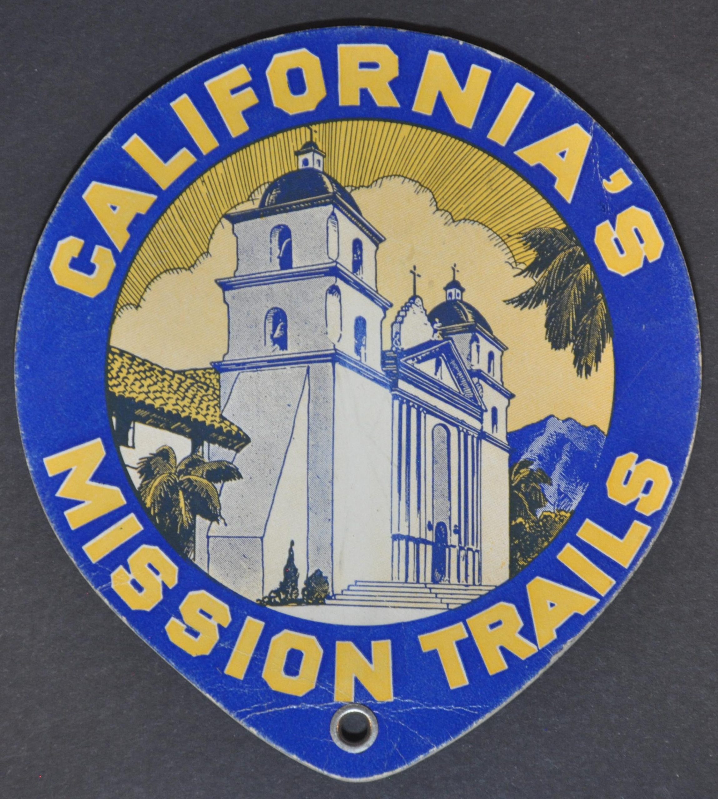
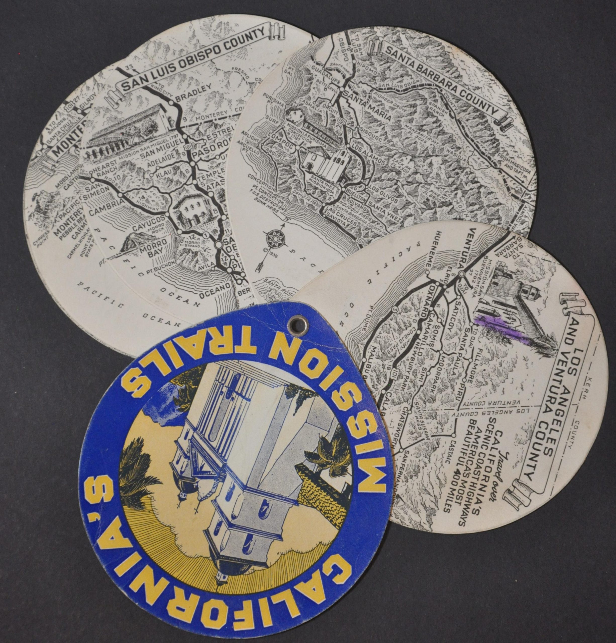
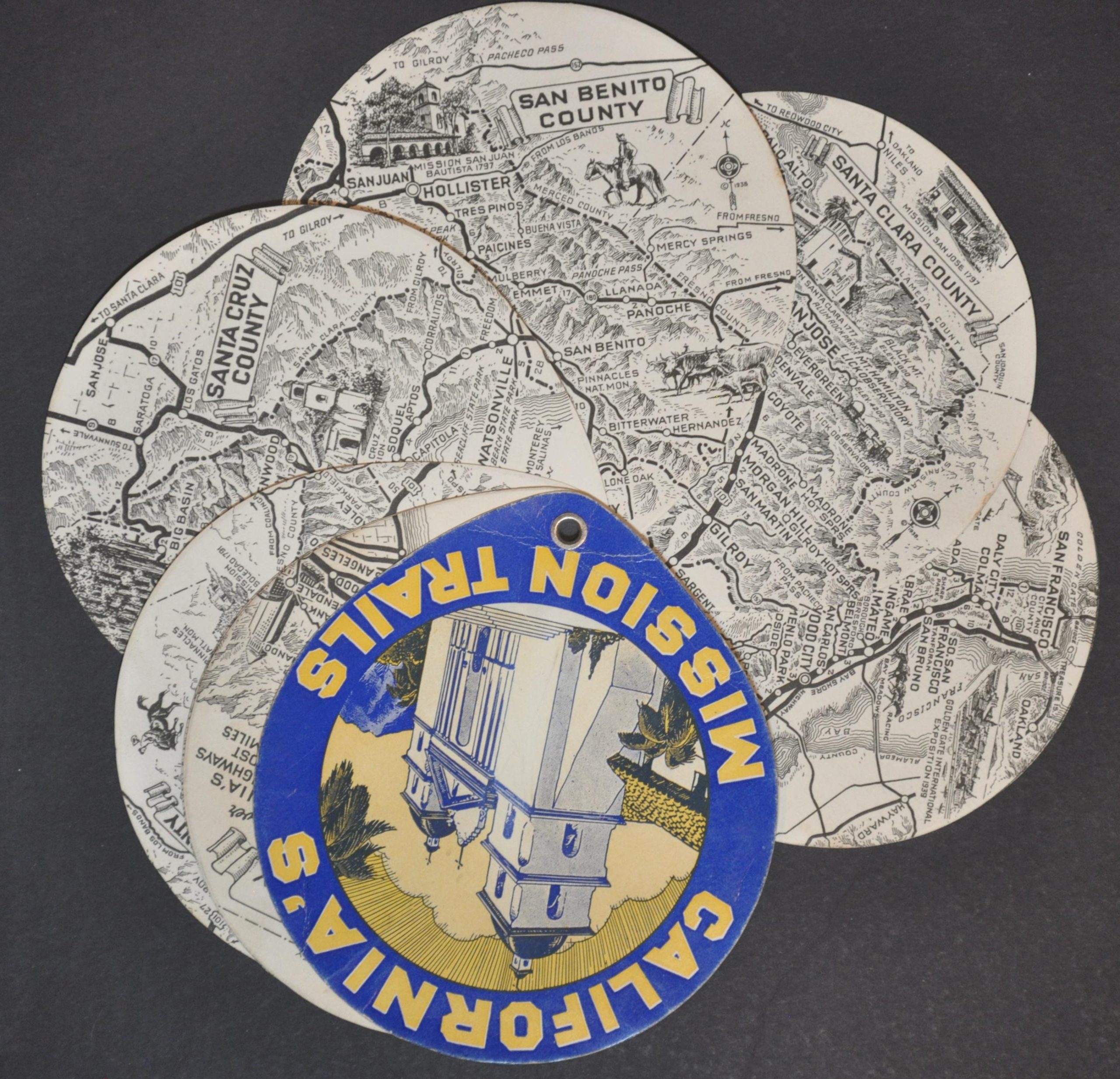
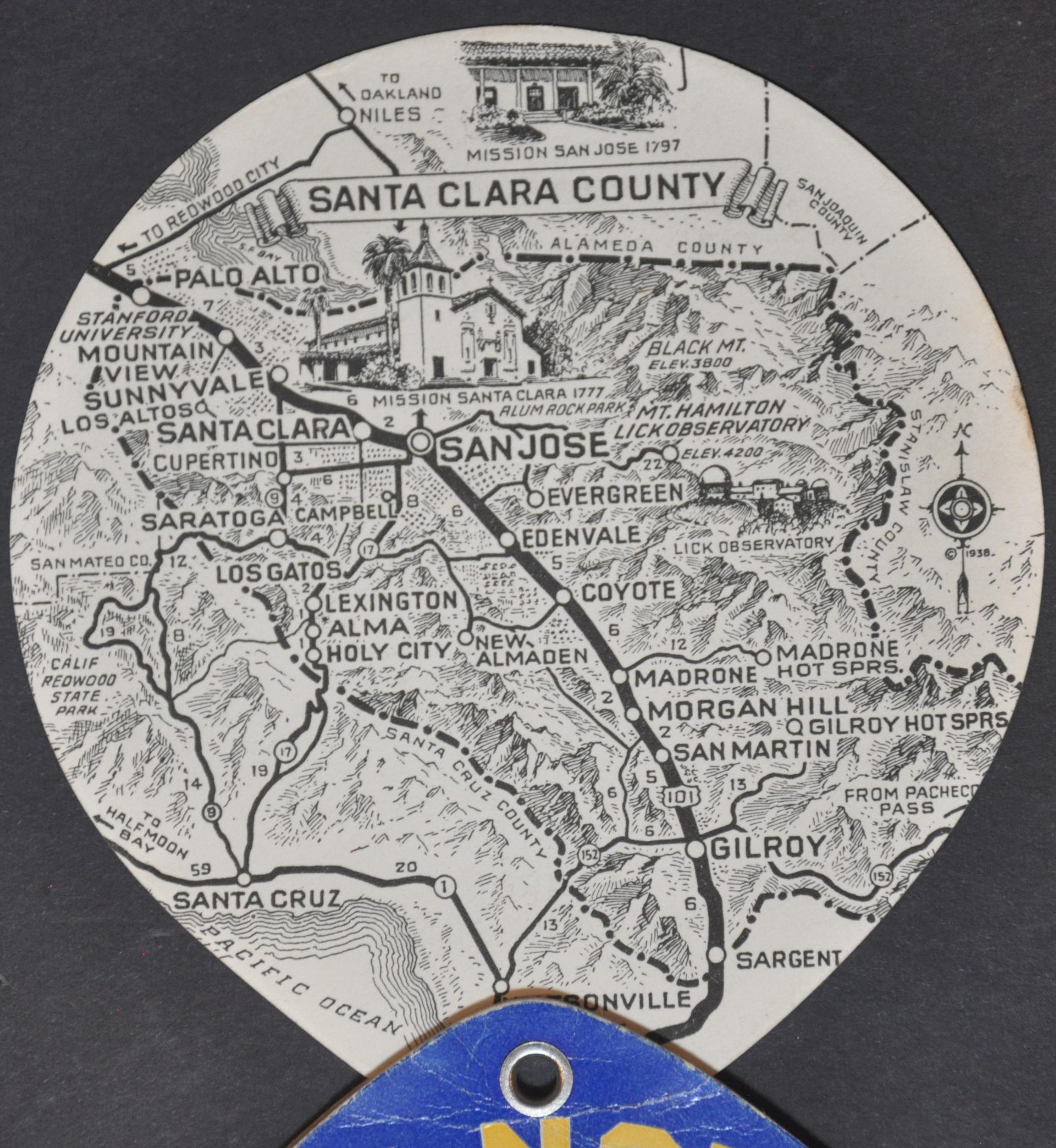
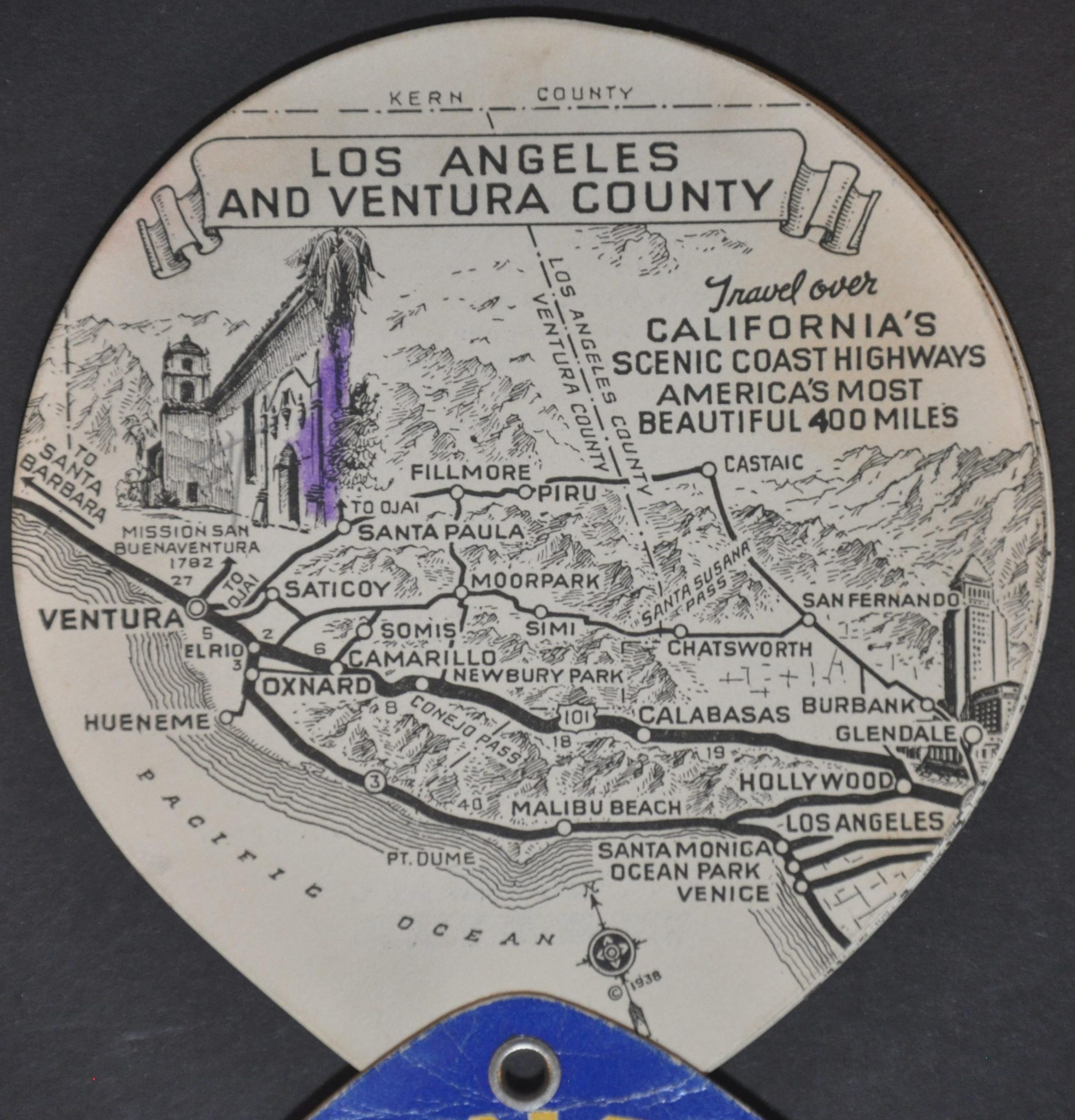
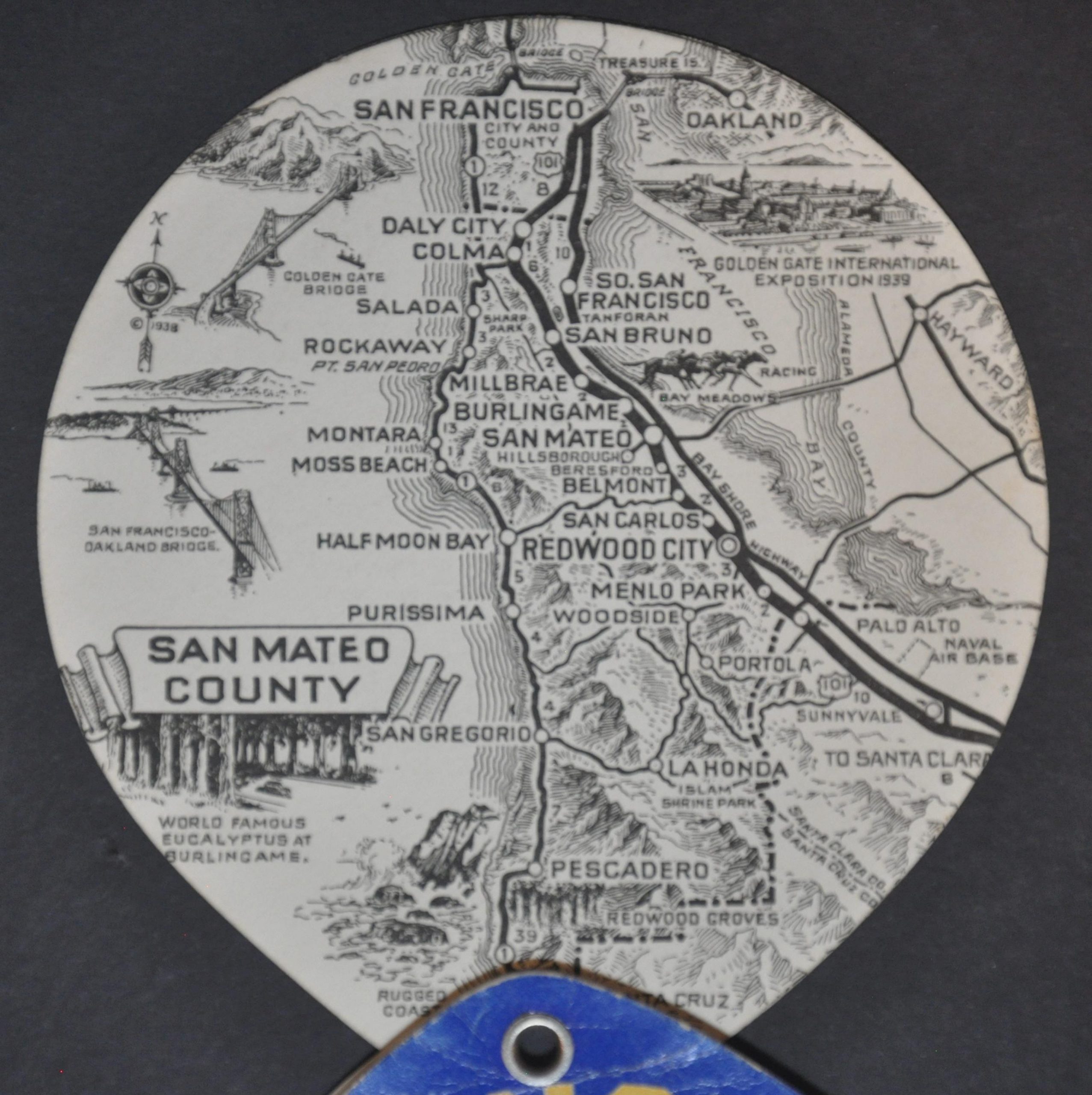
This charming bound collection of eight consecutive county maps presents ‘California’s Mission Trails’ between Los Angeles and San Francisco. While many of the historic Spanish sites can be seen on the route therein, they were primarily a promotional element utilized by the California Mission Trails Association, Ltd. (the publisher of the piece). The non-profit organization was established in the early 1930s to develop the local economy of communities along the California coast – automobile tourism was a major component.
Each of the sheets shows a pictorial topographic map that highlights major roads, towns, and geographic features. Missions are depicted pictorially, as well as a few other sites like downtown Los Angeles, Lick Observatory, and the Golden Gate Bridge. Text on the verso of each page offers a brief description of the respective county.
This is the first edition of the map, copyrighted in 1938 by the talented Gerald Eddy and published by the California Mission Trails Association, Ltd. A vignette of the 1939 Golden Gate Exposition in San Francisco hints at the second edition, which was issued the following year in conjunction with the World’s Fair.
Sources: David Rumsey Map Collection; California Mission Trails;
Map Details
Publication Date: 1938
Author: Gerald Eddy
Sheet Width (in): 4.25
Sheet Height (in): 4.5
Condition: B+
Condition Description: 8 circular paper maps and a glossy illustrated cover attached with a small brass rivet to allow for 'fanning' of the sheets. Creasing on the front, light soiling on the back, and scattered manuscript annotations, including some unfortunate purple crayon on the first page. Very good overall.
$200.00
1 in stock