
California
$100.00
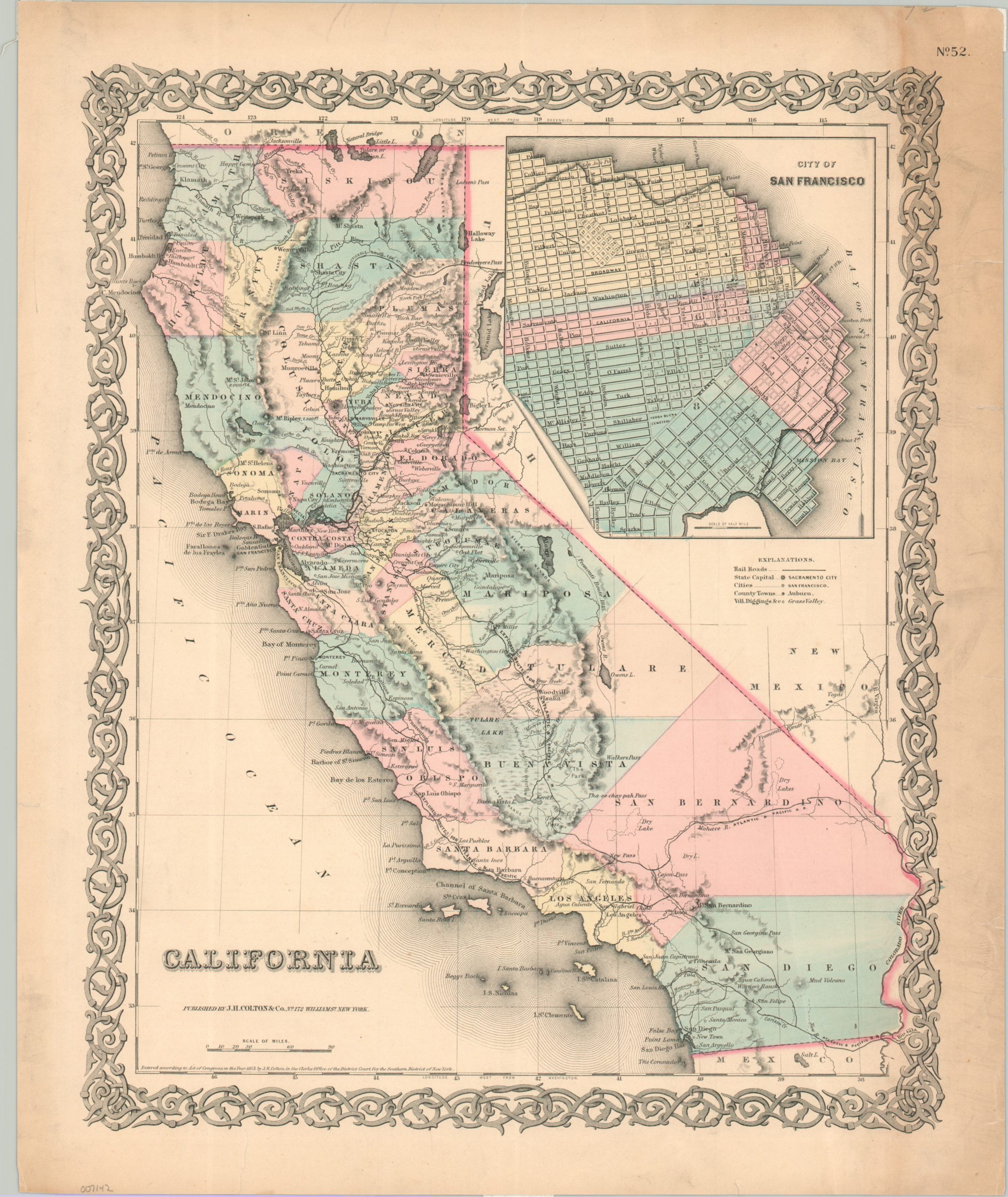
California in the mid-1850s.
1 in stock
Description
This attractive antique map of California was published in 1855 by the New York-based firm of J.H. Colton & Co. A finely engraved image presents a detailed overview of the Golden State just a few years after the source of its nickname (and early wealth) propelled the formerly remote area onto the national stage.
Numerous railroad lines are shown, though they’re all merely proposals – the only operational route (opened the same year as publication) is shown east of Sacramento. Toponyms identify a fascinating variety of landmarks, settlements, ranchos, and geographic features. A cluster of place names in the Sierra Nevada highlights the spread of Gold Rush fever. An inset of San Francisco, upper right, shows the growth of the shoreline.
Map Details
Publication Date: 1855
Author: J.H. Colton
Sheet Width (in): 14.9
Sheet Height (in): 17.75
Condition: B-
Condition Description: An irregular strip of heavy toning visible on the right side of the sheet (see scan). Marginal tears repaired on verso. Nice original color on a sturdy sheet. Between fair and good.
$100.00
1 in stock