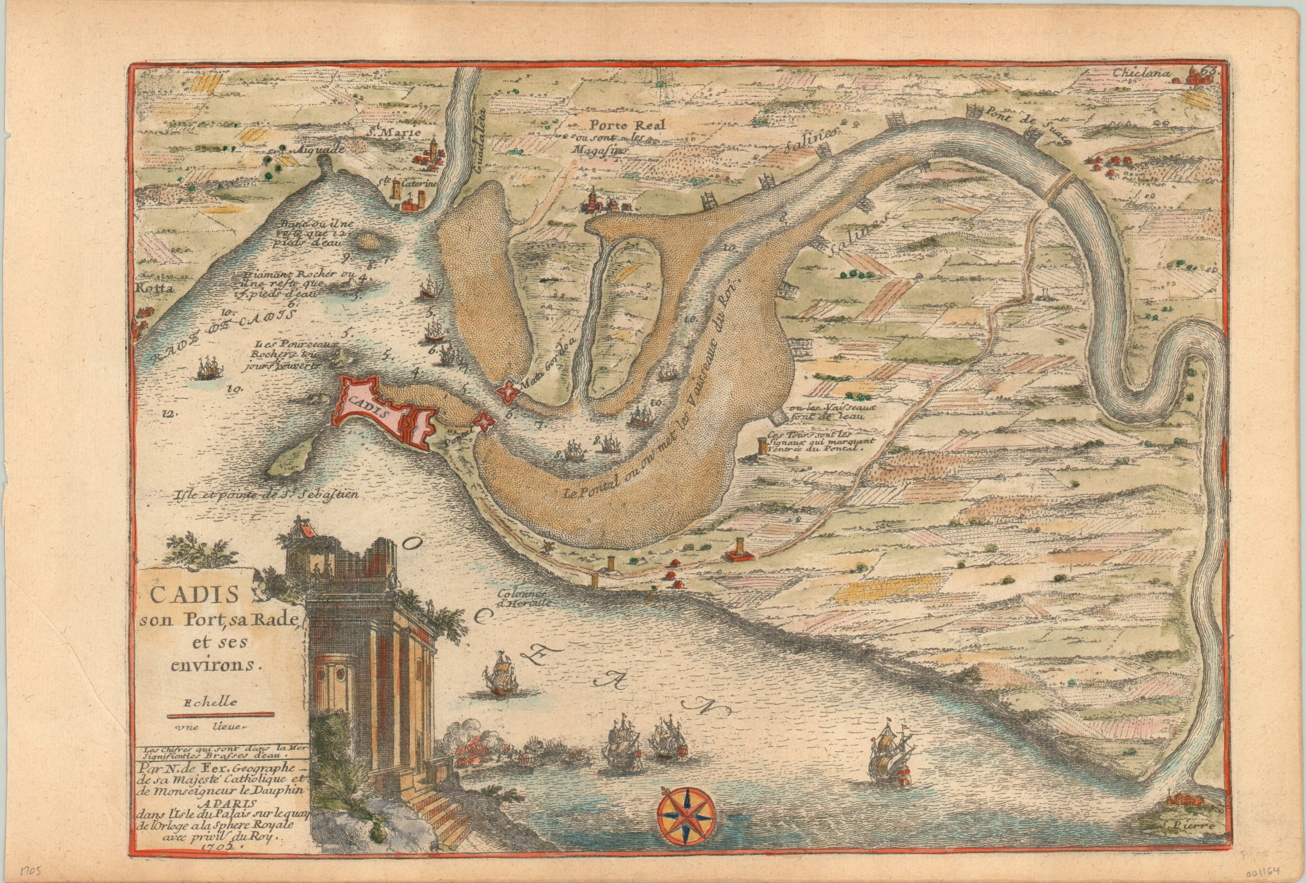
Cadis son Port, sa Rade, et ses environs.
Attractive view of the harbor and surrounding countryside of Cadiz, Spain.
Out of stock
Description
The port of Cadiz has been in use for at least 3,000 years, beginning with the Phoenicians, and has been home to the Spanish Navy since the Bourbon Reforms of the 18th century. This map was issued just a few decades before that, and uses an exaggerated perspective to accentuate details pertaining to the harbor.
Sand banks, depth soundings, fortifications, annotations regarding perilous obstacles, and even illustrations of ships all contribute to the maritime theme. A naval engagement can be seen in the Atlantic, adjacent to the decorative cartouche. Published by Nicholas de Fer for his Atlas Curieux in 1705.
Map Details
Publication Date: 1705
Author: Nicholas de Fer
Sheet Width (in): 15.6
Sheet Height (in): 10.6
Condition: A
Condition Description: Narrow lower margin and faint discoloration to the sheet from age, otherwise fine condition with lovely hand color.
Out of stock