
C.C.C. & St. L. Ry. Station Maps Cincinnati Div. Cincinnati to Monroe Book No. 5
$800.00
An important catalog of about 30 miles of ‘Big Four’ railway tracks in Ohio.
1 in stock




Description
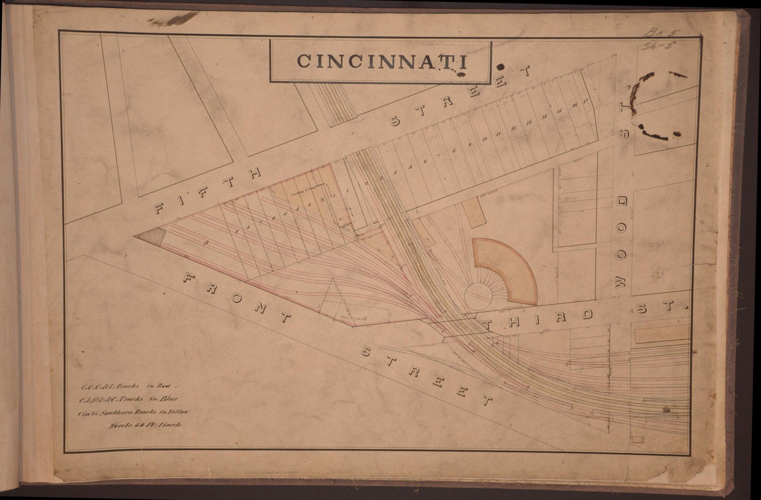
This rare collection of railroad maps outlines numerous property claims along the route of the Cleveland, Cincinnati, Chicago, and St. Louis Railway between Cincinnati and Monroe, Ohio. Each plan, drawn and colored by hand, outlines relevant railroad infrastructure, important measurements, and other notable geographic and industrial features.
The contents begin at the freight depot between Third and Front Streets, along the banks of the Ohio River. Red, green, and blue lines reflect the complex network of rails connecting inbound and outbound shipments. Interestingly, the second sheet presents the same area as the first, though rather than railroad infrastructure, the image presents property ownership records.
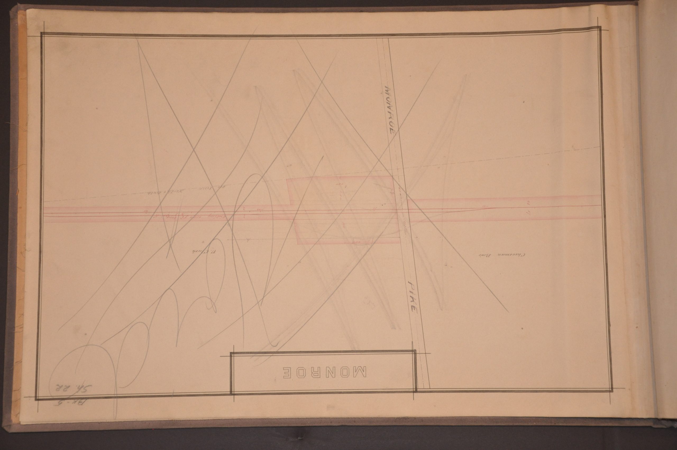
Five additional maps show Big Four properties within the Cincinnati city limits, including a roundhouse, freight yards, etc. Lease information and ownership details are evidently important elements. Oddly, the maps of Brighton, the Stock Yards, Cumminsville, and Spring Grove are completely blank, apart from carefully crafted titles and borders. The title for Ludlow Grove has been hastily updated to C. & S. Junction, with the Proctor & Gamble Soap Company noted as a large landowner in the area.
Based on the context of the binding, the various penciled annotations, and emphasis on real estate transactions/legal documentation, I suspect the atlas was an office copy for the Big Four Railroad to record and memorialize property transactions along the route in question.
Map Details
Publication Date: c. 1888
Author: Cleveland, Cincinnati, Chicago and St. Louis Railway
Sheet Width (in): 26.75
Sheet Height (in): 17.75
Condition: B+
Condition Description: Twenty two-single page maps, each manuscript (some with hand color) and mounted on linen. Contents are bound in custom riveted boards with gray cloth covers. Condition varies significantly, with the worst examples (slightly better than fair) noting severe surface soiling, marginal loss, and edge tears, though the image remains legible and largely intact. Most are relatively clean and in good shape, though, oddly, three maps are totally blank (apart from the title and border) and one is marked VOID. These clues, plus heavy annotations in pen and pencil, indicate a probable proof or office copy.
$800.00
1 in stock