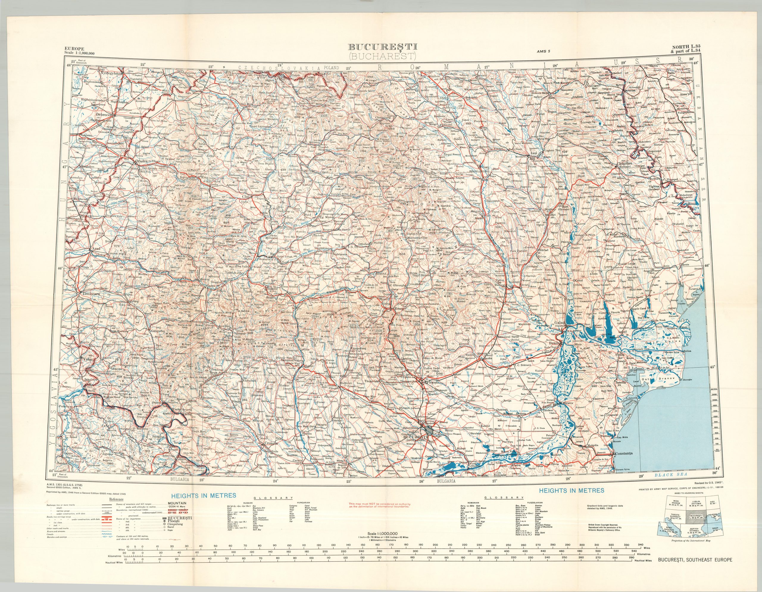
Bucharesti (Bucharest)
$125.00
Mid-century military map of the area north of Bucharest.
1 in stock
Description
This detailed strategic map covers a large area around the city of Bucharest, capital of Romania and then under Communist control. Transportation routes, geographic features (notably, the Danube River), settlements, and international boundaries (as of 1938) are noted according to the legend at the bottom of the sheet. An accompanying glossary offers terms in Russian, Hungarian, Romanian, and Yugoslavian.
Issued at a scale of 1:1,000,000. Published by the Army Map Service in 1951, using an earlier image created by the British Geographical Section, General Staff (GSGS) during World War II.
Map Details
Publication Date: 1951
Author: Army Map Service
Sheet Width (in): 31.50
Sheet Height (in): 25.00
Condition: A-
Condition Description: Creased along original folds and lightly worn and toned along the outer edges of the sheet. Old call number stickers adhered to the verso. Good to very good condition overall.
$125.00
1 in stock