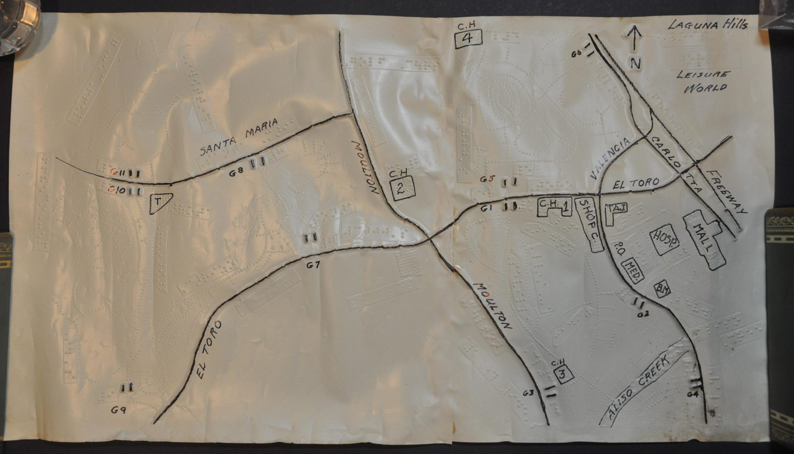
[Braille Map of Laguna Woods, CA]
Embossed map of Southern California for the visually challenged.
Out of stock
Description
This tactile map for the visually impaired covers a large area in Southern California’s Laguna Woods between Laguna Woods Village (formerly Leisure World) and the edge of Crystal Cove State Park. Roads and buildings, some of which are labeled with black marker, are identified using Braille.
Map Details
Publication Date: c. 1970
Author: Anonymous
Sheet Width (in): 19.75
Sheet Height (in): 11
Condition: B
Condition Description: Two sheets of vinyl or plastic material connected along a vertical seam. Heavy wrinkling and wear along the outer edges, with moderate soiling visible in the lower right corner. About good condition overall.
Out of stock


