
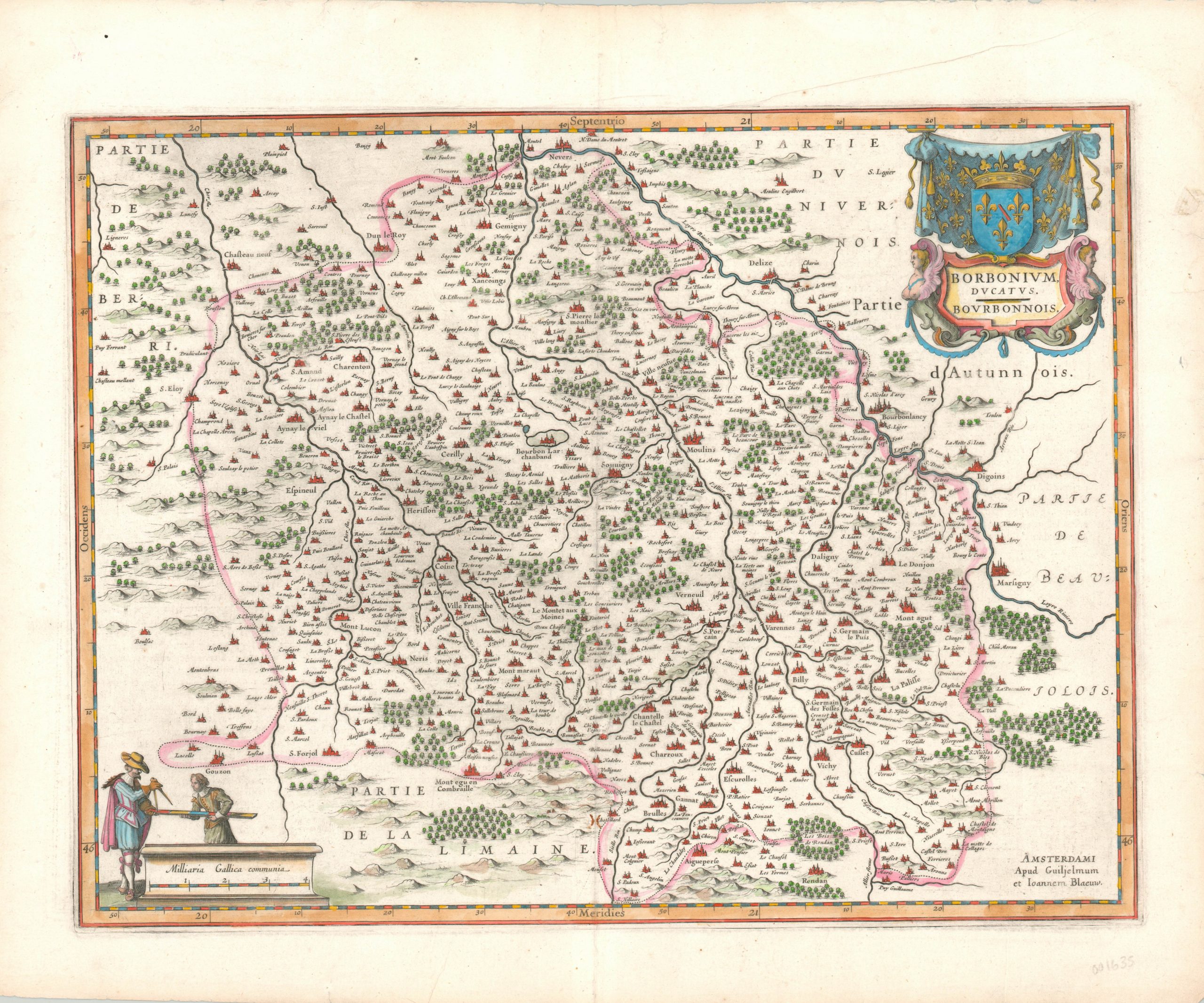
Borbonium Ducatus. Bourbonnois.
$200.00
Handsome map of the Bourbonnais region, home of the Bourbon dynasty of European rulers.
1 in stock
Description
This copperplate engraved map shows the historic French duchy of Bourbonnais, centered on the capital of Moulins. The city, as well as towns, chateaus, abbeys and estates are highlighted in red and individually labeled. Geographic features like hills, rivers, and forests are depicted pictorially; with a few, like the Blois de Rendan identified by name.
The upper right corner features a decorative cartouche above which is hanging the Bourbon coat of arms. Two figures with surveying instruments can be seen in the lower left, adjacent to the distance scale.
Published in Amsterdam by the Blaeu family around 1650. French text on verso.
Map Details
Publication Date: c. 1650
Author: Willem Janszoon Blaeu
Sheet Width (in): 22.50
Sheet Height (in): 18.50
Condition: B+
Condition Description: Small tears along the outer edges of the sheet, and a few soft extraneous creases. A bit of darkening visible from the plate mark and along the centerfold, which has some minor abrasion. Very good overall, with modern hand color.
$200.00
1 in stock